What to see
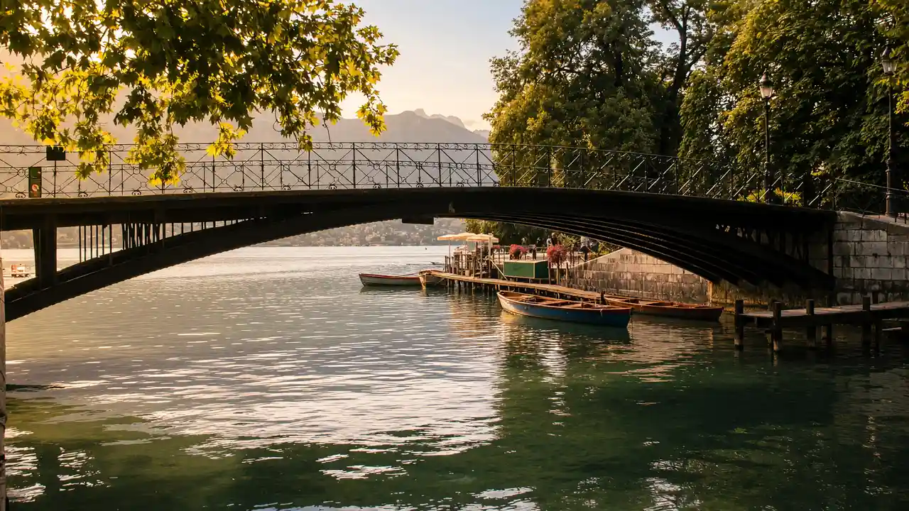
The Gardens of Europe and Pont des Amours connect the old town with the open Pâquier. Charles Bosson Park and Impérial Palace reveal Annecy’s resort heritage. Albigny ends the walk at a lakeside beach
How to walk
Start at St Francis, cross the gardens and Pont des Amours to Pâquier. After Bonlieu, return to the shore and continue to Bosson Park, Impérial and Albigny. Use pedestrian paths beside the cycle route
Map and stops
The numbered markers match the stops below. A marker does not guarantee an open entrance
Access: Approach or exterior view; admission to the interior is not confirmed
St Francis de Sales Church
Baroque canal-side church beside the Palais de l'Île
Check the open entrance and service times; remain quiet inside
Show on the city map ↗Gardens of Europe
Lakeside park with large trees and waterside paths
Use open paths and follow signs around closed areas
Show on the city map ↗Pont des Amours
Footbridge over the Vassé canal beside the lake
Stop clear of the main passage and stay behind barriers
Show on the city map ↗Le Pâquier
Open grassy lakefront with views of the lake and mountains
Use open paths and follow signs around closed areas
Show on the city map ↗Bonlieu Theatre
Cultural centre with a theatre stage beside Le Pâquier
Check current exhibitions and tickets; indoor visit time is separate from walking
Show on the city map ↗Charles Bosson Park
Lakeside park around the historic Impérial Palace
Use open paths and follow signs around closed areas
Show on the city map ↗Impérial Palace
Historic resort hotel with a formal lake-facing façade
View the façade from a public street; check interior access separately
Show on the city map ↗Albigny Beach
Open shore with a lawn at the northern end of the lake
Use open paths and follow signs around closed areas
Show on the city map ↗
Before the walk
- Do not treat the Impérial hotel as a public passage; check bathing conditions on site
- Leave space for oncoming pedestrians on Pont des Amours
Check hours, tickets and access with each venue. Barriers may change the track and queues may add time. Accessibility has not been surveyed on site
Questions before the walk
How can the walk be shortened?
Finish at Le Pâquier and skip the remaining track. This is a shorter one-way option; returning to the start is separate
How long does the walking section take?
3.4 km, about 50 minutes at the assumed walking speed of 4.2 km/h. Sightseeing, photographs and indoor visits are extra
Sources and verification
Written by walkymap from remotely checked sources. No on-site walk is claimed
Lake Annecy Tourist Office — The old town of Annecy ·
Lake Annecy Tourist Office — Annecy town walks ·
© OpenStreetMap contributors · ODbL. Track geometry and distance are from the route dataset
Elevation estimate: Mapterhorn. Terrain model; stairs and small changes in level may be missed