Choose a focus for the museum section
The National Museum can be an exterior stop or a separate indoor visit. The collection needs its own time allowance before the remaining street sections
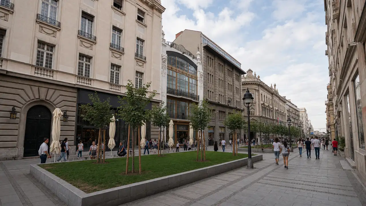
Knez Mihailova’s facades continue above the shop signs. The Ethnographic Museum focuses on traditional culture and everyday life. A museum can be chosen by interest; the short walk between collections does not estimate time inside them
Notice the neighbourhood transition
Academic Park is a pause between museums and the following streets. Greenery, pavements and surrounding buildings share the space. Bajrakli Mosque represents an older layer of Dorćol. Courtyard and interior entry depend on current rules
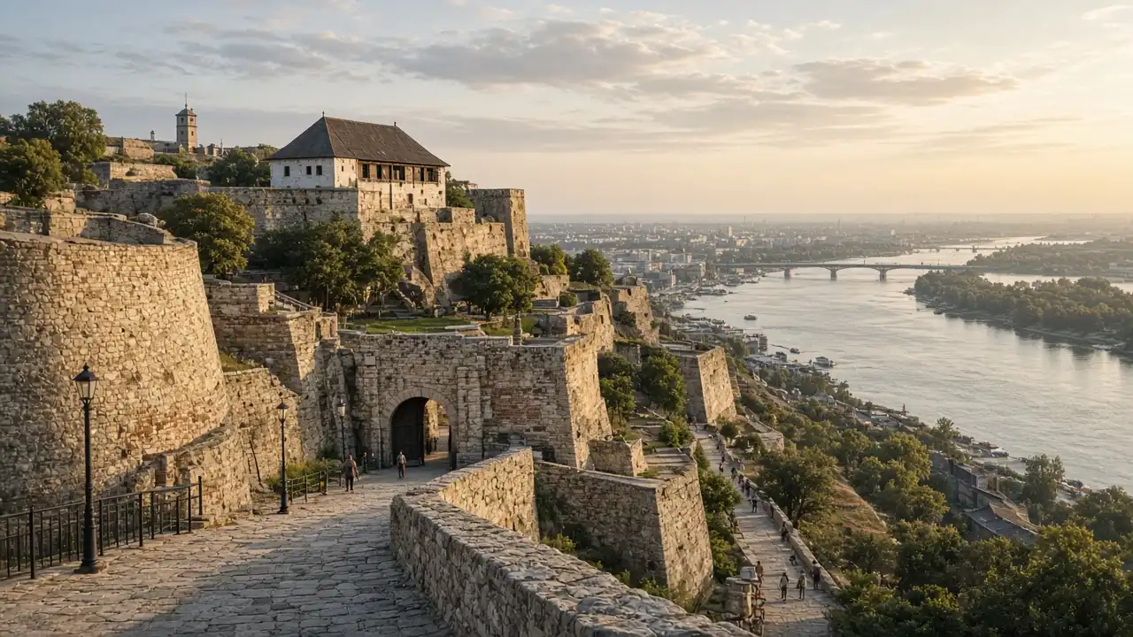
After the pedestrian centre, ordinary streets include road crossings. The overall difficulty rating does not verify every kerb or approach. This walk was prepared remotely without an on-site check. Continuing to the Danube needs separate planning: the waterfront is outside the route and requires additional time
Map and stops
The numbered markers match the stops below. A marker does not guarantee an open entrance
Access: Approach or exterior view; admission to the interior is not confirmed
Republic Square
The central square beside the National Museum and National Theatre
Use it as a meeting point or a link between walks
Show on the city map ↗National Museum of Serbia
The prominent museum building overlooking Republic Square
Allow separate time for the collection and check the opening schedule
Show on the city map ↗Knez Mihailova Street
A pedestrian street linking Republic Square with Kalemegdan
Look at the upper facades while keeping clear of the main pedestrian flow
Show on the city map ↗Ethnographic Museum
A museum of traditional culture, clothing and everyday life on Studentski Square
Plan the galleries as a separate stop
Show on the city map ↗Academic Park
A park among university buildings, with monuments to scholars and educators
Pause here before continuing into Dorćol
Show on the city map ↗Bajrakli Mosque
A historic mosque in the Dorćol district
This is a religious space; ask the attendants about entry
Show on the city map ↗
Before the walk
- The museum programme needs a check before departure, especially when it shapes the day’s plan
- Pause in the park and decide whether to continue immediately or take a proper rest first
- A specific meeting point outside the museum helps a group reunite after a visit
Check hours, tickets and access with each venue. Barriers may change the track and queues may add time. Accessibility has not been surveyed on site
Questions before the walk
Is this a complete Dorćol walking tour?
No. It introduces part of the neighbourhood close to the pedestrian centre. Lower Dorćol, industrial spaces and an extended waterfront walk are not included
Does the route work without entering museums?
Yes, as an introduction to streets and exterior landmarks. Use the museum buildings to orient yourself and spend more time observing the surrounding city
Sources and verification
Written by walkymap from remotely checked sources. No on-site walk is claimed
Tourist Organization of Belgrade — Dorćol ·
Tourist Organization of Belgrade — The Ethnographic Museum ·
© OpenStreetMap contributors · ODbL. Track geometry and distance are from the route dataset
Elevation estimate: Mapterhorn. Terrain model; stairs and small changes in level may be missed