From Smedenpoort to the lake
Start at Smedenpoort and pass the Concertgebouw before reaching the Powder Tower and Minnewater Park
Use the park as the main pause
This route covers the southern ramparts area, not the complete circuit around Bruges
Continue towards Gentpoort
Follow the map to Gentpoort and Conzett Bridge
Separate pedestrian paths from cycle tracks where marked
For a shorter outing, finish at Minnewater and leave the eastern gates for another day
Map and stops
The numbered markers match the stops below. A marker does not guarantee an open entrance
Access: Approach or exterior view; admission to the interior is not confirmed
Smedenpoort Gate
Surviving medieval gate on the western side of the centre
View the façade from a public street; check interior access separately
Show on the city map ↗Concertgebouw
Contemporary red-brick concert hall on the edge of the old town
Check current exhibitions and tickets; indoor visit time is separate from walking
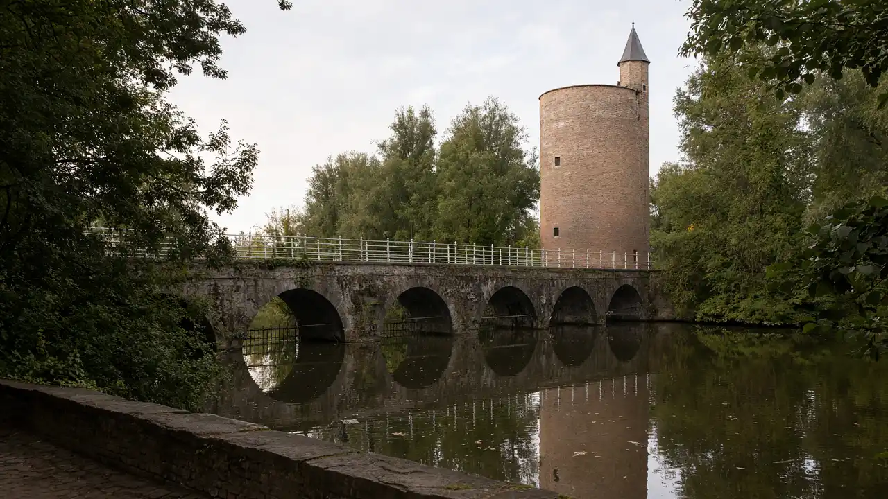
Show on the city map ↗Poertoren
Round brick tower beside the bridge across Minnewater
View the façade from a public street; check interior access separately
Show on the city map ↗Minnewater Park
Lakeside park on the southern edge of the historic centre
Use open paths and follow signs around closed areas
Show on the city map ↗Gentpoort Gate
Fortified gate on the former road to Ghent
View the façade from a public street; check interior access separately
Show on the city map ↗Conzett Bridge
Contemporary footbridge across the Coupure canal
Stop clear of the main passage and stay behind barriers
Show on the city map ↗
Before the walk
- Use designated crossings at the roads by the gates
- Check bridge signs and local diversions on arrival
Check hours, tickets and access with each venue. Barriers may change the track and queues may add time. Accessibility has not been surveyed on site
Questions before the walk
Does this route include the windmills?
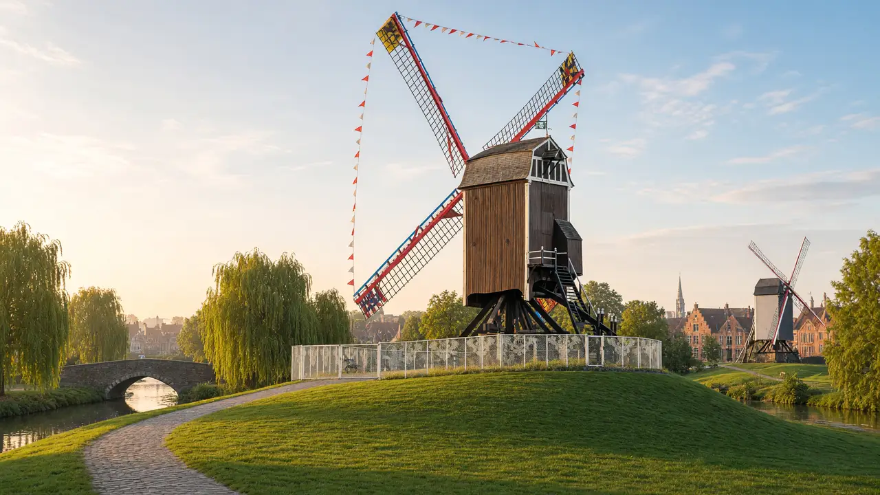
No, the windmills lie farther north along the eastern ramparts and need a separate extension
Is this a complete loop around Bruges?
No, it covers the southern section between Smedenpoort and Conzett Bridge
Sources and verification
Written by walkymap from remotely checked sources. No on-site walk is claimed
Visit Bruges — Bruges city ramparts ·
Visit Bruges — Parks and city ramparts ·
© OpenStreetMap contributors · ODbL. Track geometry and distance are from the route dataset
Elevation estimate: Mapterhorn. Terrain model; stairs and small changes in level may be missed