Carmel Mission Basilica → Mission Trail Nature Preserve
Start beside the active mission; visit the museum separately around parish services and access rules
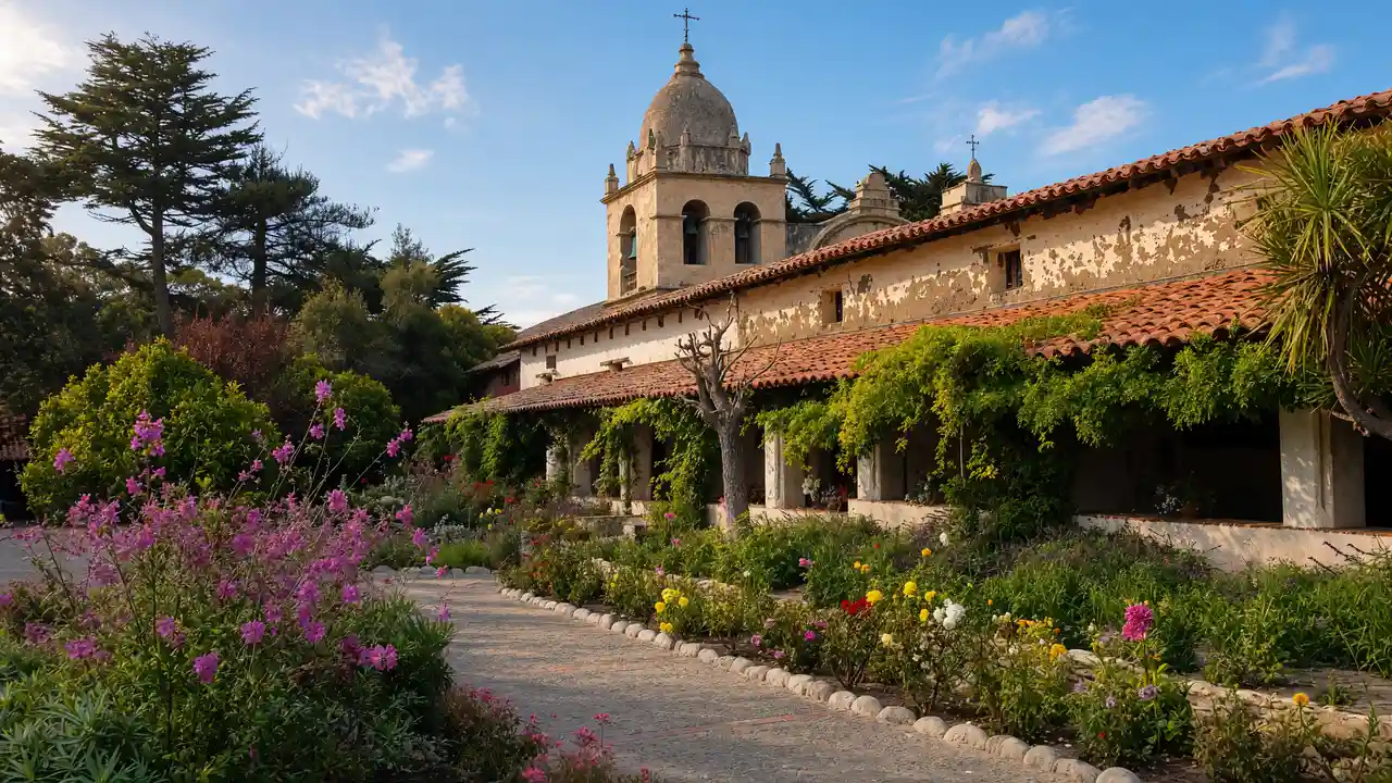
Carmel Mission Basilica: Historic mission with a basilica, courtyard and museum rooms
Mission Trail Nature Preserve: Woodland trails between residential streets and the mission
Bonham House → Marchen Haus
Use an open Mission Trail entrance towards the residential streets; the paths are not confirmed step-free
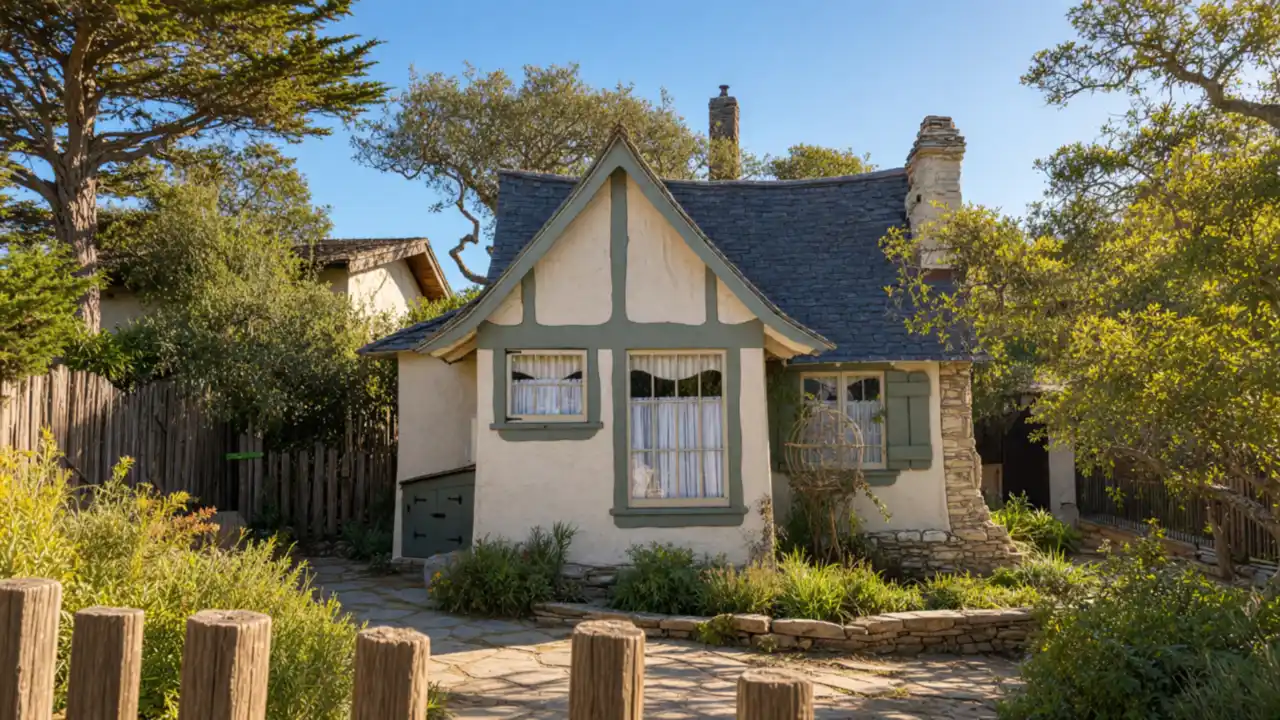
Bonham House: Tudor house by Mark Whitcomb for a former Carmel mayor
Marchen Haus: Large Comstock storybook house at Dolores and Eleventh Avenue
Forest Theater → Center for Photographic Art
Finish at Forest Theater and Sunset Center; concerts and exhibitions have their own schedules, and park access does not imply hall access
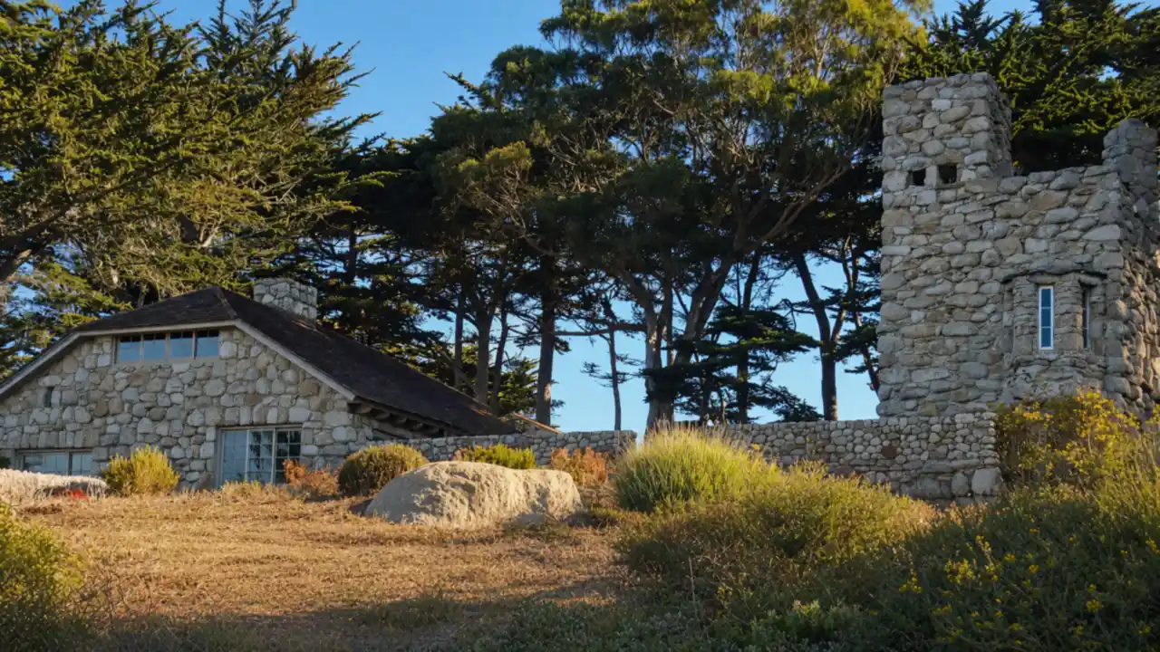
Forest Theater: Historic open-air stage among the trees
Center for Photographic Art: Photography exhibitions in the Sunset complex
Map and stops
The numbered markers match the stops below. A marker does not guarantee an open entrance
Access: Approach or exterior view; admission to the interior is not confirmed
Carmel Mission Basilica
Historic mission with a basilica, courtyard and museum rooms
Check visiting times; avoid disturbing services and worshippers
Show on the city map ↗Mission Trail Nature Preserve
Woodland trails between residential streets and the mission
Use open paths; account for weather and closed sections
Show on the city map ↗Bonham House
Tudor house by Mark Whitcomb for a former Carmel mayor
View from the street; check interior access separately
Show on the city map ↗Marchen Haus
Large Comstock storybook house at Dolores and Eleventh Avenue
View from the street; check interior access separately
Show on the city map ↗Forest Theater
Historic open-air stage among the trees
Check admission with the museum; add indoor visiting time to the walk
Show on the city map ↗Sunset Center
Performing arts centre in a historic school complex
Check admission with the museum; add indoor visiting time to the walk
Show on the city map ↗Center for Photographic Art
Photography exhibitions in the Sunset complex
Check admission with the museum; add indoor visiting time to the walk
Show on the city map ↗
Before the walk
- Stay on marked trails in the nature preserve
- Check mission museum access and Forest Theater events separately
- The route is not confirmed step-free; use open streets around closed sites
Check hours, tickets and access with each venue. Barriers may change the track and queues may add time. Accessibility has not been surveyed on site
Questions before the walk
Where does the woodland section end?
After Mission Trail, the route reaches residential streets before Forest Theater and Sunset Center
Must the mission grounds be crossed?
No — the route links the mission’s exterior approach, open trails and town streets
Sources and verification
Written by walkymap from remotely checked sources. No on-site walk is claimed
carmelmission.org — carmelmission.org ·
ci.carmel.ca.us — ci.carmel.ca.us ·
carmelcalifornia.com — carmelcalifornia.com ·
carmelcalifornia.com — carmelcalifornia.com ·
sunsetcenter.org — sunsetcenter.org ·
photography.org — photography.org ·
© OpenStreetMap contributors · ODbL. Track geometry and distance are from the route dataset
Elevation estimate: Mapterhorn. Terrain model; stairs and small changes in level may be missed