The character of the walk
East of the moat, temple stops sit beside trading streets. The gate provides an open starting space before pavements narrow and traffic changes. The market is a useful endpoint, but individual stalls are not guaranteed to be open. The walk needs shaded breaks and marked road crossings
Landmarks along the way
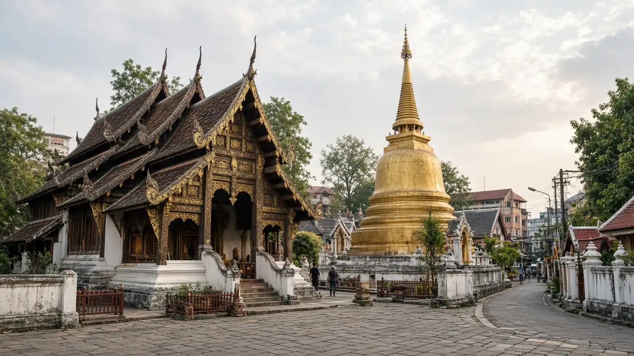
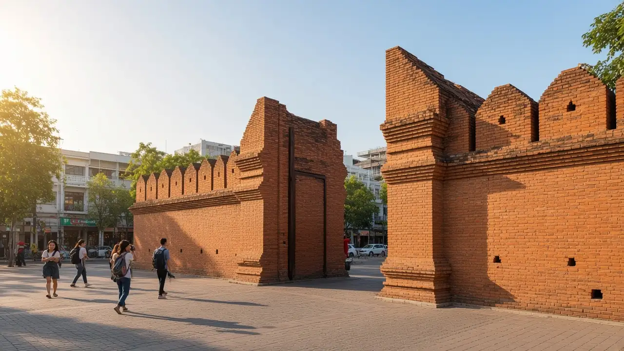
Tha Phae Gate: restored brick gates on the eastern side of the old town; Wat Mahawan: a temple near the eastern entrance to the old town
Wat Buppharam, Chiang Mai: a temple complex on Tha Phae Road; Warorot Market: a market district beside the Ping River
Map and stops
The numbered markers match the stops below. A marker does not guarantee an open entrance
Access: Approach or exterior view; admission to the interior is not confirmed
Tha Phae Gate
Restored brick gates on the eastern side of the old town
Look along the old wall from the square in front of the gate
Show on the city map ↗Wat Mahawan
A temple near the eastern entrance to the old town
Make a short temple pause before the Tha Phae shopping quarter
Show on the city map ↗Wat Buppharam, Chiang Mai
A temple complex on Tha Phae Road
Compare the layered roofs with temples inside the old walls
Show on the city map ↗Warorot Market
A market district beside the Ping River
Follow market aisles while keeping stalls accessible
Show on the city map ↗
Before the walk
- Streets with narrow pavements and busy crossings
- Allow separate time for interiors and follow signs at each entrance
- The line is calculated on the mapped pedestrian network; closures and private passages may change access
- East of the moat, temple stops sit beside trading streets. The gate provides an open starting space before pavements narrow and traffic changes. The market is a useful endpoint, but individual stalls are not guaranteed to be open. The walk needs shaded breaks and marked road crossings
Check hours, tickets and access with each venue. Barriers may change the track and queues may add time. Accessibility has not been surveyed on site
Questions before the walk
Where does the walk start and end?
Tha Phae Gate → Warorot Market
Does walking time include admission and visits?
No. Walking is estimated separately; tickets, exhibitions and opening times need individual checks
Sources and verification
Written by walkymap from remotely checked sources. No on-site walk is claimed
Tourism Authority of Thailand — Attractions near Chiang Mai moat ·
Wikipedia contributors — Tha Phae Gate ·
Wikipedia contributors — Wat Mahawan ·
Wikipedia contributors — Wat Buppharam, Chiang Mai ·
Wikipedia contributors — Warorot Market ·
© OpenStreetMap contributors · ODbL. Track geometry and distance are from the route dataset
Elevation estimate: Mapterhorn. Terrain model; stairs and small changes in level may be missed