What to see
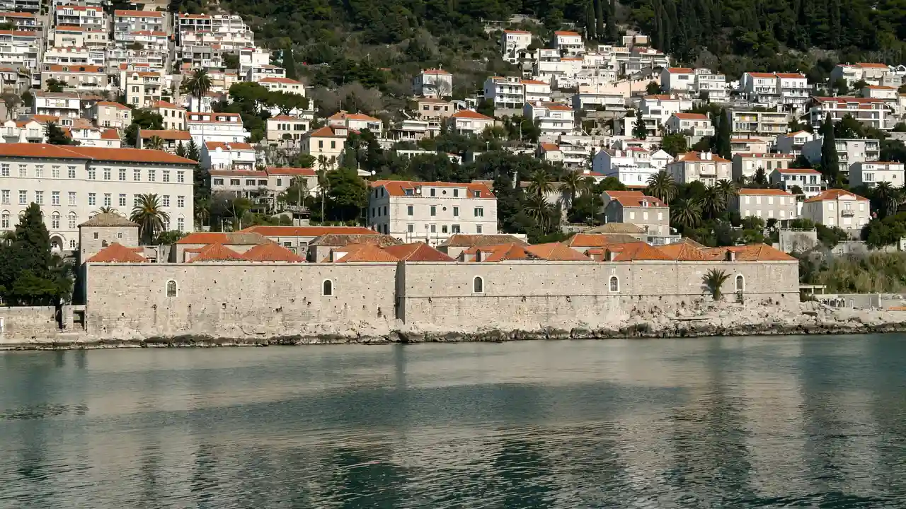
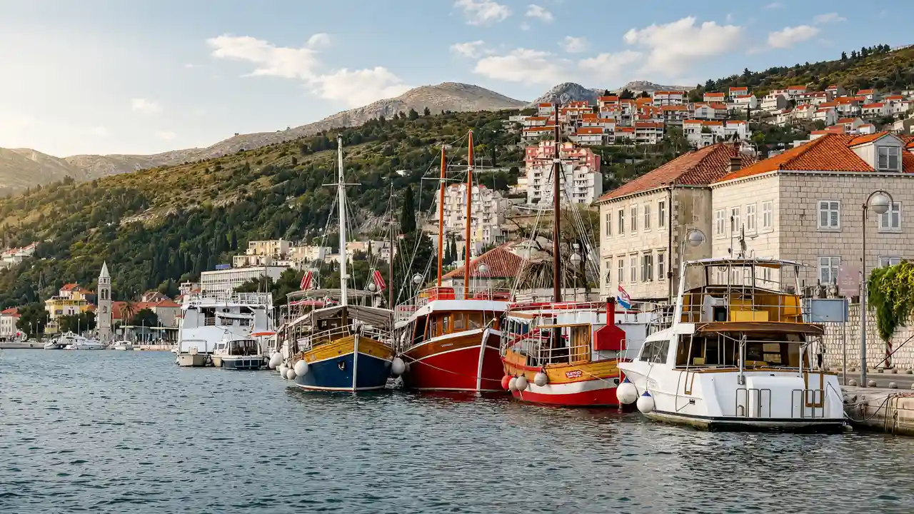
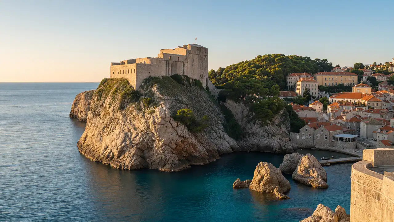
Bokar and Lovrijenac stand on opposite sides of the old-town approach. Exterior views show the relationship between forts and sea. Gradac and the rocky Danče shore replace stone lanes with parkland and water
How to walk
From Pile, descend to the Bokar view, then continue to Šulić cove and the stair approach to Lovrijenac. Walk through Gradac to Danče. Paid fort entry and the wall circuit are outside the track
Map and stops
The numbered markers match the stops below. A marker does not guarantee an open entrance
Access · 1, 3, 5, 6: Approach or exterior view; admission to the interior is not confirmed
Access · 2, 4: The route reaches an exterior view; check wall access and fort admission separately
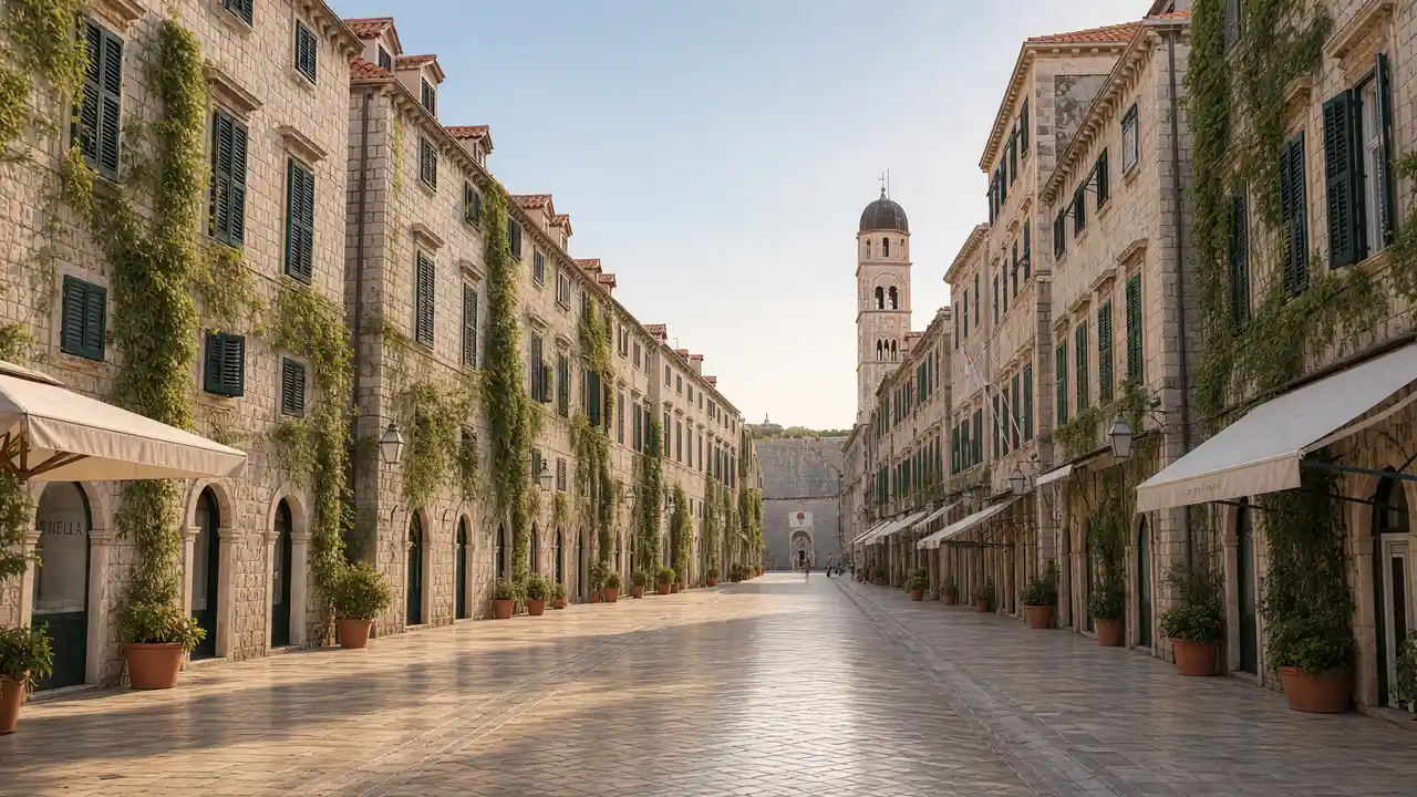
Pile Gate
Fortified western entrance to the old town
View the façade from a public street; check interior access separately
Show on the city map ↗Bokar Fort
Round fortification above the western harbour
The route reaches an exterior view; check wall access and fort admission separately
Show on the city map ↗Šulić Beach
Small cove below the Lovrijenac cliff
Stop clear of the main passage and stay behind barriers
Show on the city map ↗Lovrijenac Fort
Detached fort on a sea cliff outside the western walls
The route reaches an exterior view; check wall access and fort admission separately
Show on the city map ↗Gradac Park
Park above the sea with views towards Lovrijenac Fort
Use open paths and follow signs around closed areas
Show on the city map ↗Danče Shore
Rocky city shoreline below Gradac Park
Use open paths and follow signs around closed areas
Show on the city map ↗
Before the walk
- Expect steps and uneven shore paths; check slippery sections after rain
- At Lovrijenac the track reaches an exterior approach; check fort tickets separately
- Forts are viewed from outside; the paid circuit on the walls is not part of the walk
Check hours, tickets and access with each venue. Barriers may change the track and queues may add time. Accessibility has not been surveyed on site
Questions before the walk
How can the walk be shortened?
Finish at Šulić Beach and skip the remaining track. This is a shorter one-way option; returning to the start is separate
How long does the walking section take?
1.4 km, about 25 minutes at the assumed walking speed of 4.2 km/h. Sightseeing, photographs and indoor visits are extra
Sources and verification
Written by walkymap from remotely checked sources. No on-site walk is claimed
Dubrovnik Tourist Board — Dubrovnik sights ·
Dubrovnik Tourist Board — Dubrovnik Riviera Info ·
© OpenStreetMap contributors · ODbL. Track geometry and distance are from the route dataset
Elevation estimate: Mapterhorn. Terrain model; stairs and small changes in level may be missed