First walk
Kraków: From the Barbican to Wawel
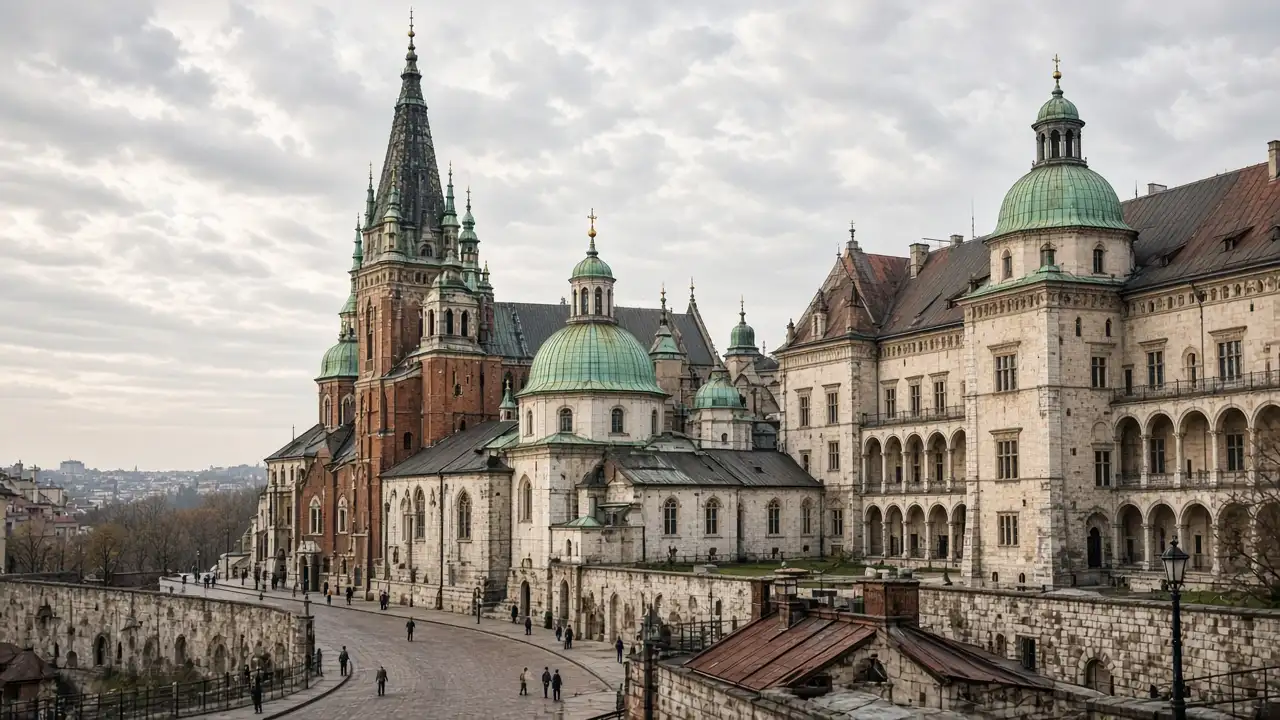
Florian’s Gate, Main Market Square, St Mary’s Basilica and Wawel Hill. Stops, walking map, terrain and GPX for an independent walk
Market Square, Wawel and Kazimierz. 10 walks, 28 places. Area guides and walking routes
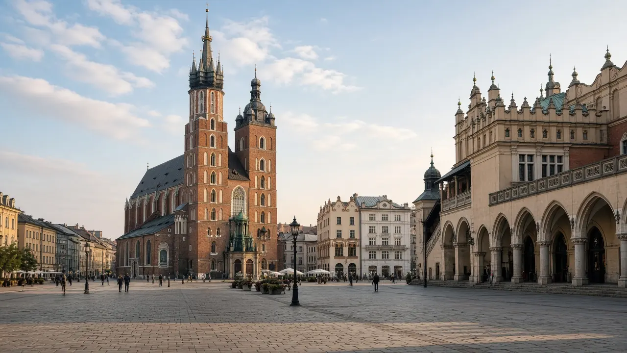
Florian’s Gate, Main Market Square, St Mary’s Basilica and Wawel Hill. Stops, walking map, terrain and GPX for an independent walk
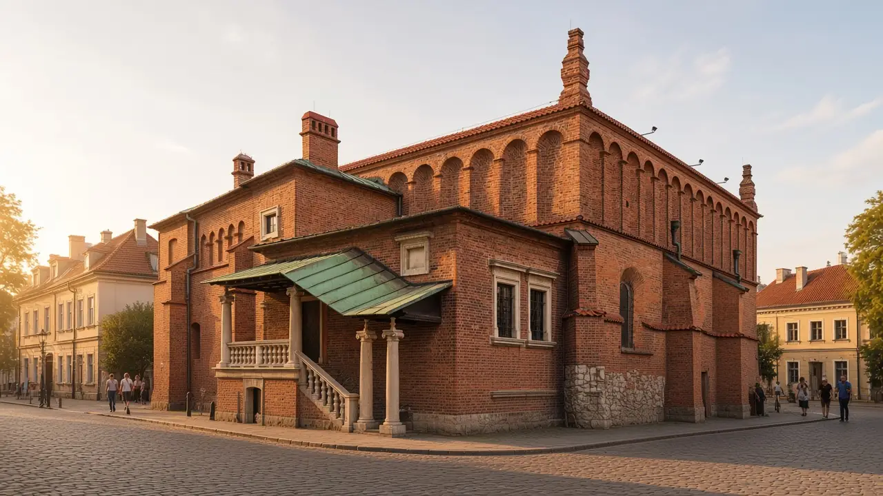
Szeroka Street, Remuh and Old Synagogues, the Galicia Museum and Wolnica Square. Stops, walking map, terrain and GPX for an independent walk
Florian’s Gate, Main Market Square, St Mary’s Basilica and Wawel Hill
Szeroka Street, Remuh and Old Synagogues, the Galicia Museum and Wolnica Square
The main stops from the first themed central walks; additional districts are covered by separate routes
A Gothic college, neo-Gothic buildings and a grand theatre beside Planty
The university park ring, Grodzka Baroque and the dragon below Wawel
The quarter’s religious history and the industrial architecture of a former tram depot
The Kraków ghetto memorial and the museum of the occupied city
St. Joseph’s Church → Krakus Mound
Cricoteka → Ghetto Heroes Square → Oskar Schindler’s Enamel Factory → MOCAK
Manggha Museum → Wawel Dragon Statue → Church on the Rock
Sources: tourism organisations, museums and heritage sites. Distance follows the walking track; time and elevation are estimates. Sources are checked remotely; an on-site walk has not been confirmed