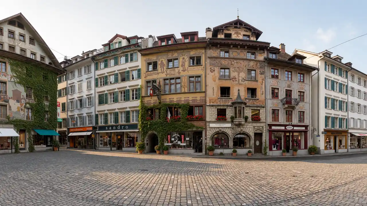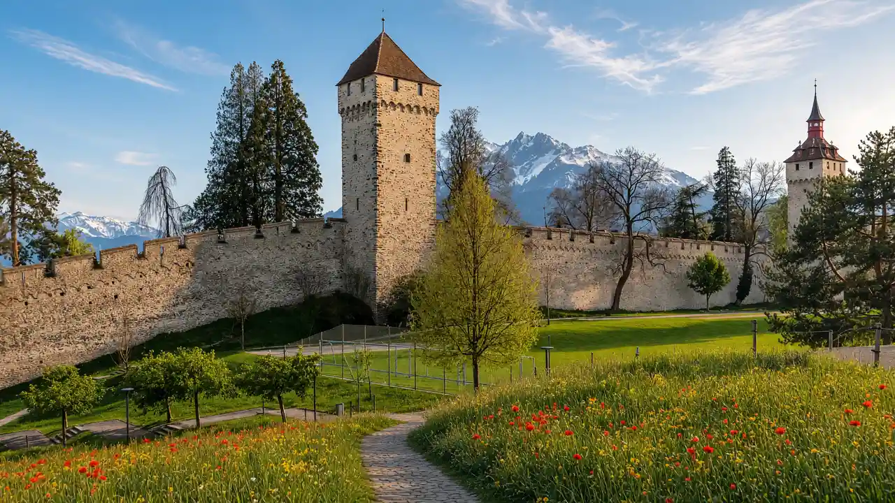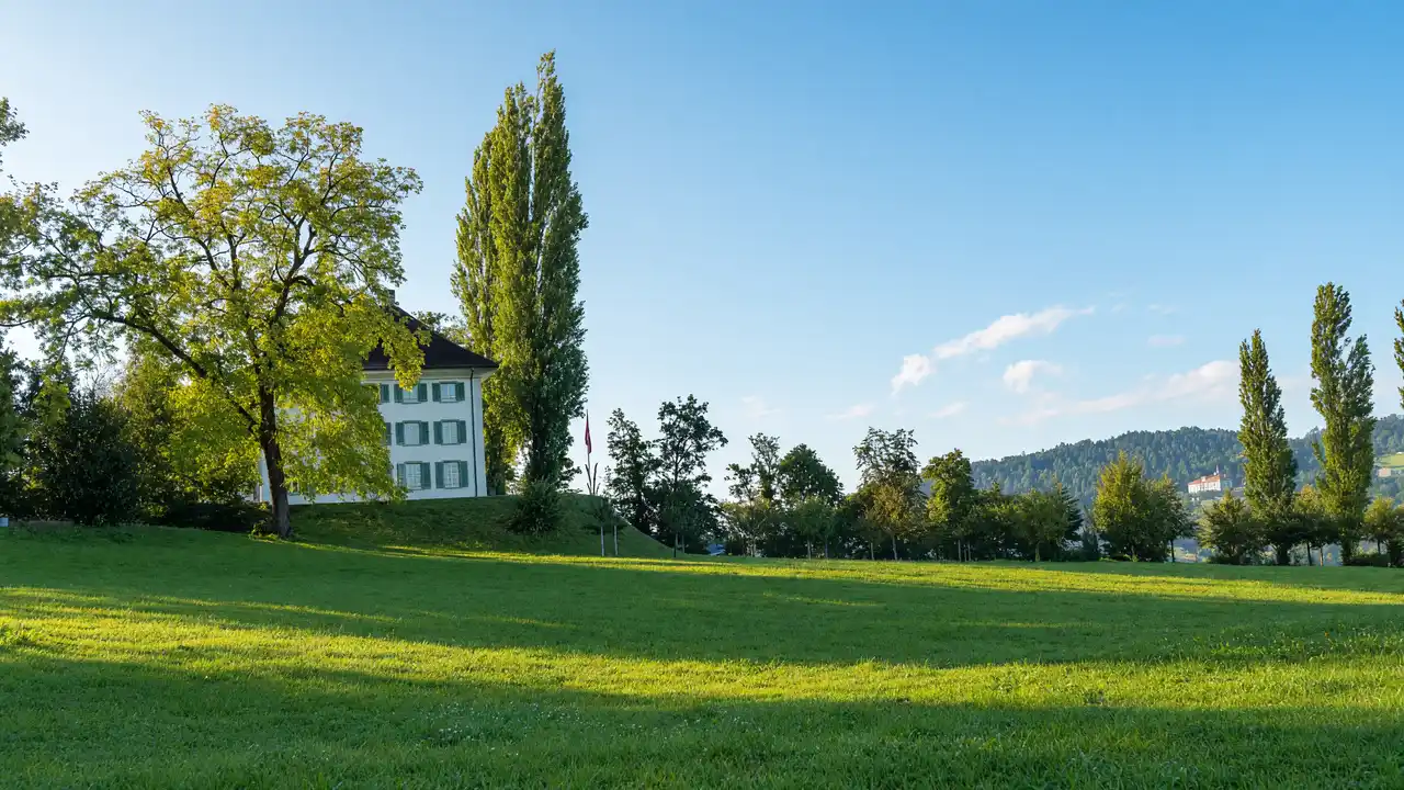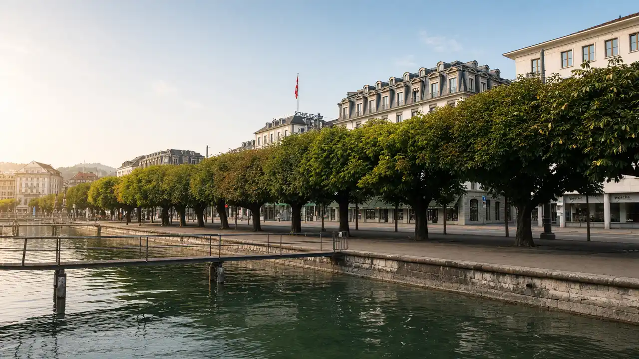
What to see
Hofkirche anchors the walk in city history before the lake promenade opens wider views. Seebad represents historic bathing culture. The Transport Museum is a substantial separate visit, with the Hans Erni Museum nearby
How to walk
Walk from St Peter’s Chapel via St Matthew’s Church to Hofkirche. Reach the shore and continue past Seebad and Lido Meadow to the Transport Museum. The return journey is outside the track
Map and stops
The numbered markers match the stops below. A marker does not guarantee an open entrance
Access: Approach or exterior view; admission to the interior is not confirmed
St Peter's Chapel
Historic chapel near the northern end of Chapel Bridge
Check the open entrance and service times; remain quiet inside
Show on the city map ↗St Matthew's Church
Neo-Gothic Protestant church near the northern lakefront
Check the open entrance and service times; remain quiet inside
Show on the city map ↗Church of St Leodegar
Twin-towered church on a rise above the lake
Check the open entrance and service times; remain quiet inside
Show on the city map ↗Seebad
Wooden lakeside bathing pavilion on the northern promenade
View the façade from a public street; check interior access separately
Show on the city map ↗Lido Meadow
Open lakeside lawn beside the Museum of Transport
Use open paths and follow signs around closed areas
Show on the city map ↗Swiss Museum of Transport
Museum covering rail, aviation, road and water transport
Check current exhibitions and tickets; indoor visit time is separate from walking
Show on the city map ↗
Before the walk
- Plan swimming, boat trips and museum galleries separately from walking time
- Check Seebad admission separately; the promenade does not grant bath access
Check hours, tickets and access with each venue. Barriers may change the track and queues may add time. Accessibility has not been surveyed on site
Questions before the walk
How can the walk be shortened?
Finish at Church of St Leodegar and skip the remaining track. This is a shorter one-way option; returning to the start is separate
How long does the walking section take?
3.1 km, about 45 minutes at the assumed walking speed of 4.2 km/h. Sightseeing, photographs and indoor visits are extra
Sources and verification
Written by walkymap from remotely checked sources. No on-site walk is claimed
Lucerne Tourism — Top sights in Lucerne ·
Lucerne Tourism — Lucerne City Guide 2026–2027 ·
© OpenStreetMap contributors · ODbL. Track geometry and distance are from the route dataset
Elevation estimate: Mapterhorn. Terrain model; stairs and small changes in level may be missed