The character of the walk
The walk begins at Zaryadye’s river edge, then links the embankments with museum streets. Patriarshy Bridge provides a separate view of the cathedral and river, before pedestrian Arbat closes the route. The line follows mapped walking paths; museum collections and church visits are not included
Landmarks along the way
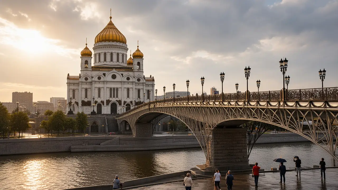
Zaryadye Floating Bridge: A viewing structure projecting over the Moskva River; Patriarshy Bridge: A pedestrian bridge between the cathedral and the opposite bank; Cathedral of Christ the Saviour: A white cathedral with golden domes beside the Moskva River
Pushkin State Museum of Fine Arts: The main museum building with a colonnade on Volkhonka Street; Old Arbat Street: A pedestrian street with historic buildings, theatres and museums
Map and stops
The numbered markers match the stops below. A marker does not guarantee an open entrance
Access · 1, 2, 5: Use available pedestrian paths and crossings; account for barriers and surface conditions
Access · 3, 4: Approach or exterior view; admission to the interior is not confirmed
Zaryadye Floating Bridge
A viewing structure projecting over the Moskva River
Use an open bridge approach and keep narrow sections clear
Show on the city map ↗Patriarshy Bridge
A pedestrian bridge between the cathedral and the opposite bank
Compare Kremlin and Zamoskvorechye views from the pedestrian section
Show on the city map ↗Cathedral of Christ the Saviour
A white cathedral with golden domes beside the Moskva River
View the cathedral from the embankment and the Patriarshy Bridge approach
Show on the city map ↗Pushkin State Museum of Fine Arts
The main museum building with a colonnade on Volkhonka Street
Check the exhibition building; Volkhonka has several museum entrances
Show on the city map ↗Old Arbat Street
A pedestrian street with historic buildings, theatres and museums
Explore open side lanes while keeping the main street as a reference
Show on the city map ↗
Before the walk
- Embankments, a bridge and street crossings, with long exposed riverside sections
- Allow separate time for interiors and follow signs at each entrance
- The line is calculated on the mapped pedestrian network; closures and private passages may change access
- The walk begins at Zaryadye’s river edge, then links the embankments with museum streets. Patriarshy Bridge provides a separate view of the cathedral and river, before pedestrian Arbat closes the route. The line follows mapped walking paths; museum collections and church visits are not included
Check hours, tickets and access with each venue. Barriers may change the track and queues may add time. Accessibility has not been surveyed on site
Questions before the walk
Where does the walk start and end?
Zaryadye Floating Bridge → Old Arbat Street
Does walking time include admission and visits?
No. Walking is estimated separately; tickets, exhibitions and opening times need individual checks
Sources and verification
Written by walkymap from remotely checked sources. No on-site walk is claimed
Город Москва — Парки и усадьбы: Зарядье ·
OpenStreetMap contributors — Zaryadye Floating Bridge ·
Wikipedia contributors — Patriarshy Bridge ·
Wikipedia contributors — Cathedral of Christ the Saviour ·
Wikipedia contributors — Pushkin State Museum of Fine Arts ·
Wikipedia contributors — Old Arbat Street ·
© OpenStreetMap contributors · ODbL. Track geometry and distance are from the route dataset
Elevation estimate: Mapterhorn. Terrain model; stairs and small changes in level may be missed