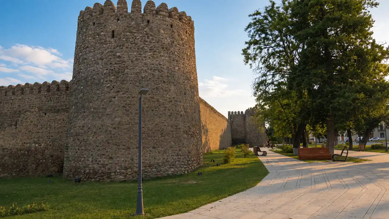
Start at the fortress
Begin at the eastern gate of Batonis Tsikhe, the fortified former royal residence. Check museum opening arrangements separately
Continue to the equestrian monument of Erekle II, then follow the town streets to the giant plane tree
Climb to Nadikvari
From the tree, head uphill to the park path beside the viewpoint. Distant Caucasus peaks depend on clear weather
The route finishes above the centre and does not include the return to the fortress. For a shorter outing, finish at the plane tree before the climb
Map and stops
The numbered markers match the stops below. A marker does not guarantee an open entrance
Access: Approach or exterior view; admission to the interior is not confirmed
Batonis Tsikhe
Fortified former residence of the Kakhetian kings, with a history museum inside
Start at the eastern gate; check courtyard and museum admission separately
Show on the city map ↗Erekle II monument
Equestrian statue outside the fortress, facing the Alazani Valley
View from the square; keep off the pedestal
Show on the city map ↗Giant plane tree
Large oriental plane tree near the fortress, a recognisable Telavi landmark
Stay on the path and avoid damaging roots or barriers
Show on the city map ↗Nadikvari Park
Hilltop park with shaded paths and views over the Alazani Valley
Allow for the uphill approach; distant mountains depend on visibility
Show on the city map ↗
Before the walk
- Bring water for the climb and shoes with a firm grip
- Stay outside any closed gate; the museum is optional
- Fortress and museum entry can close; remain outside if access is closed
- Do not enter residential courtyards without permission
Check hours, tickets and access with each venue. Barriers may change the track and queues may add time. Accessibility has not been surveyed on site
Questions before the walk
Does the whole walk need a ticket?
The track connects exterior stops and the park. Museum tickets and opening arrangements are separate; interior admission is not included
Does this include Kakheti wineries?
Wineries and monasteries outside Telavi need a separate trip. They are not part of this town walking track
Sources and verification
Written by walkymap from remotely checked sources. No on-site walk is claimed
georgia.travel — Батонис-цихе ·
georgia.travel — Nadikvari Park ·
georgia.travel — Telavi landmarks ·
www.openstreetmap.org — OpenStreetMap: Batonis Tsikhe ·
© OpenStreetMap contributors · ODbL. Track geometry and distance are from the route dataset
Elevation estimate: Mapterhorn. Terrain model; stairs and small changes in level may be missed
