The character of the walk
The former riverbed links historic bridges with contemporary architecture. The walk starts with a stone bridge before the large white forms of the opera house and museums come into view. Garden paths support an independent walk, but play structures and exhibitions have separate access arrangements. Markings distinguish pedestrian and cycle routes
Landmarks along the way
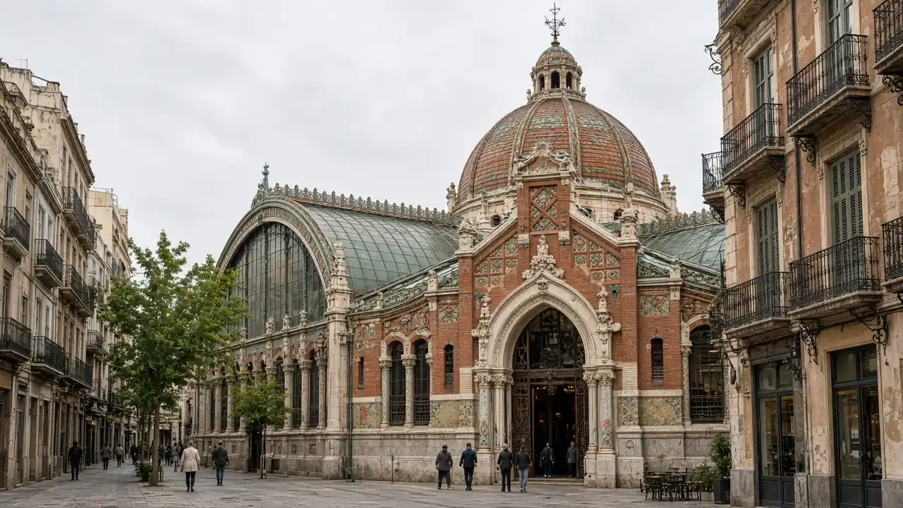
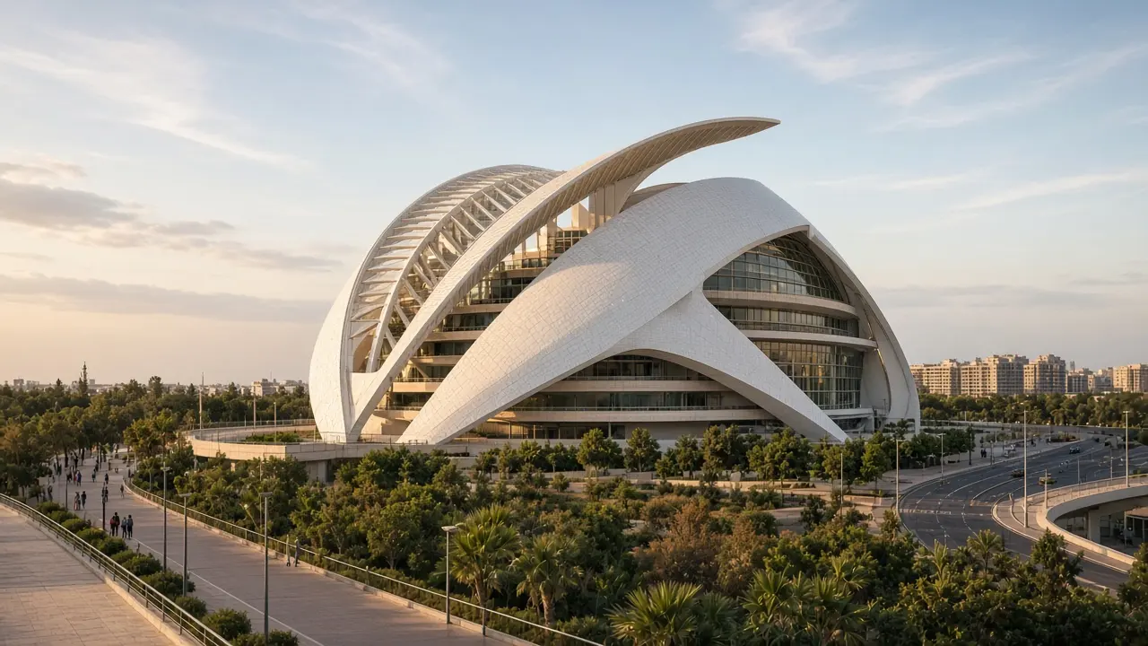
Pont de la Mar: a historic stone bridge above the former riverbed gardens; Gulliver Park: a playground sculpture in the Turia Gardens; Palau de les Arts Reina Sofía: an opera house with a distinctive white shell
Hemisfèric: an eye-shaped building beside reflecting pools; Museu de les Ciències Príncipe Felipe: the long white museum building in the City of Arts and Sciences
Map and stops
The numbered markers match the stops below. A marker does not guarantee an open entrance
Access · 1, 2: Outdoor stop; check access to the path on site
Access · 3, 4, 5: Approach or exterior view; admission to the interior is not confirmed
Pont de la Mar
A historic stone bridge above the former riverbed gardens
View the former riverbed from the pedestrian bridge section
Show on the city map ↗Gulliver Park
A playground sculpture in the Turia Gardens
Use the play structure according to park rules; the route follows paths
Show on the city map ↗Palau de les Arts Reina Sofía
An opera house with a distinctive white shell
Walk along the accessible side and compare the shell’s curves
Show on the city map ↗Hemisfèric
An eye-shaped building beside reflecting pools
Compare the eye-like form with its reflection in the water
Show on the city map ↗Museu de les Ciències Príncipe Felipe
The long white museum building in the City of Arts and Sciences
Study the rhythm of the outer supports; plan the interactive exhibition separately
Show on the city map ↗
Before the walk
- Garden paths, ramps and descents into the former riverbed
- Allow separate time for interiors and follow signs at each entrance
- The line is calculated on the mapped pedestrian network; closures and private passages may change access
- The former riverbed links historic bridges with contemporary architecture. The walk starts with a stone bridge before the large white forms of the opera house and museums come into view. Garden paths support an independent walk, but play structures and exhibitions have separate access arrangements. Markings distinguish pedestrian and cycle routes
Check hours, tickets and access with each venue. Barriers may change the track and queues may add time. Accessibility has not been surveyed on site
Questions before the walk
Where does the walk start and end?
Pont de la Mar → Museu de les Ciències Príncipe Felipe
Does walking time include admission and visits?
No. Walking is estimated separately; tickets, exhibitions and opening times need individual checks
Sources and verification
Written by walkymap from remotely checked sources. No on-site walk is claimed
Visit Valencia — Turia Gardens ·
OpenStreetMap contributors — Pont de la Mar ·
OpenStreetMap contributors — Gulliver Park ·
Wikipedia contributors — Palau de les Arts Reina Sofía ·
OpenStreetMap contributors — Hemisfèric ·
Wikipedia contributors — Museu de les Ciències Príncipe Felipe ·
© OpenStreetMap contributors · ODbL. Track geometry and distance are from the route dataset
Elevation estimate: Mapterhorn. Terrain model; stairs and small changes in level may be missed