The character of the walk
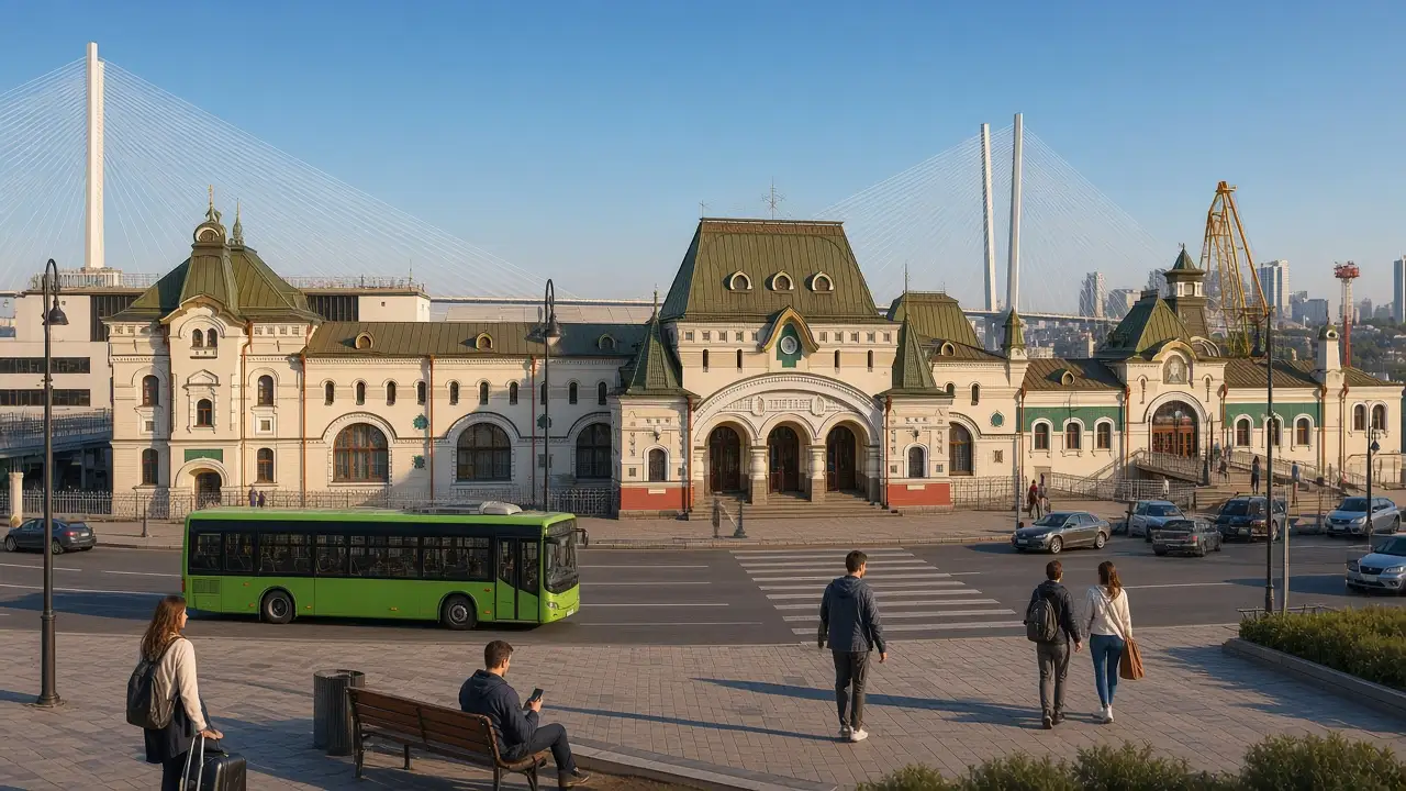
From pedestrian Fokin Street the route reaches Svetlanskaya, the arch and the hillside. The line and time are calculated for walking via stairs, not riding the funicular. Golden Bridge is a view, with no pedestrian crossing of the bridge in this route. Fog may hide the panorama entirely
Landmarks along the way
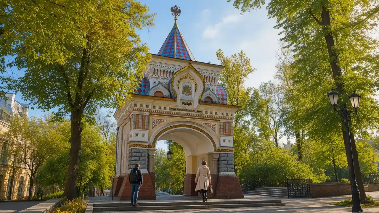
Admiral Fokin Street: A pedestrian street with historic facades and views towards the sea; Svetlanskaya Street: A principal historic street with merchant houses and civic buildings; Nikolai Triumphal Arch: A reconstructed ornamental arch in the historic centre
Funicular Upper Station: The upper station of the city funicular on the hillside; Eagle’s Nest Viewpoint: A city viewpoint over the bay and the Golden Bridge
Map and stops
The numbered markers match the stops below. A marker does not guarantee an open entrance
Access · 1, 2, 5: Use available pedestrian paths and crossings; account for barriers and surface conditions
Access · 3, 4: Approach or exterior view; admission to the interior is not confirmed
Admiral Fokin Street
A pedestrian street with historic facades and views towards the sea
Follow the pedestrian street toward Sportivnaya Harbour
Show on the city map ↗Svetlanskaya Street
A principal historic street with merchant houses and civic buildings
Look for upper commercial-façade details above modern shopfronts
Show on the city map ↗Nikolai Triumphal Arch
A reconstructed ornamental arch in the historic centre
Study the gate’s tile ornament from the open passage
Show on the city map ↗Funicular Upper Station
The upper station of the city funicular on the hillside
Separate the viewpoint stop from a ride and check operating hours
Show on the city map ↗Eagle’s Nest Viewpoint
A city viewpoint over the bay and the Golden Bridge
Stay on the designated platform and allow for wind and the steep approach
Show on the city map ↗
Before the walk
- Steep climbs and stairs; this is not a step-free option
- Allow separate time for interiors and follow signs at each entrance
- The line is calculated on the mapped pedestrian network; closures and private passages may change access
- From pedestrian Fokin Street the route reaches Svetlanskaya, the arch and the hillside. The line and time are calculated for walking via stairs, not riding the funicular. Golden Bridge is a view, with no pedestrian crossing of the bridge in this route. Fog may hide the panorama entirely
Check hours, tickets and access with each venue. Barriers may change the track and queues may add time. Accessibility has not been surveyed on site
Questions before the walk
Where does the walk start and end?
Admiral Fokin Street → Eagle’s Nest Viewpoint
Does walking time include admission and visits?
No. Walking is estimated separately; tickets, exhibitions and opening times need individual checks
Sources and verification
Written by walkymap from remotely checked sources. No on-site walk is claimed
Wikipedia contributors — Admiral Fokin Street ·
Wikipedia contributors — Svetlanskaya Street ·
Wikipedia contributors — Nikolai Triumphal Arch ·
OpenStreetMap contributors — Funicular Upper Station ·
Wikipedia contributors — Eagle’s Nest Viewpoint ·
© OpenStreetMap contributors · ODbL. Track geometry and distance are from the route dataset
Elevation estimate: Mapterhorn. Terrain model; stairs and small changes in level may be missed