First walk
Central Yerevan on foot: Republic Square to the Opera
A first walk through Yerevan’s main squares, stone façades and pedestrian streets, with museums treated as optional visits
Republic Square, the Cascade and museums. 12 walks, 38 places. Area guides and walking routes
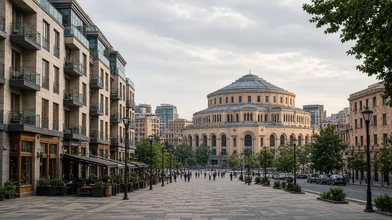
A first walk through Yerevan’s main squares, stone façades and pedestrian streets, with museums treated as optional visits
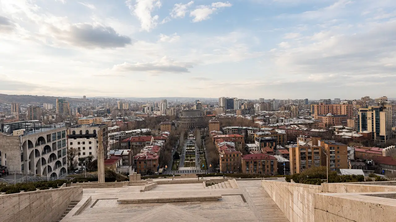
Combine outdoor art, manuscript heritage and a city panorama, using streets for the climb rather than assuming a passage through the upper Cascade
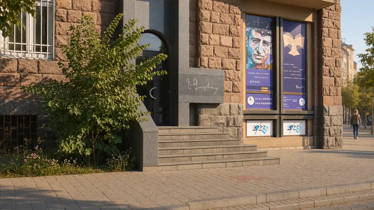
A 3.6 km Yerevan walk via Dalan, Charents’s house, the Parajanov Museum and ARARAT. Map, Hrazdan crossing and a shorter 2 km option
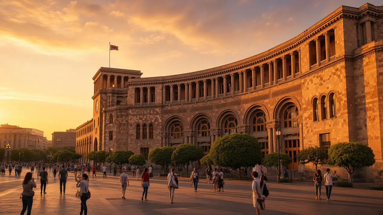
Republic Square, the history museum and streets around the opera theatre
The lower Cascade and Matenadaran, followed by an uphill walk to Victory Park and Mother Armenia
A compact park, art museums and an old residential quarter above the Hrazdan
From the Blue Mosque through two parks to the cathedral and Vernissage craft stalls
From Parajanov’s neighbourhood via Victory Bridge to the hilltop memorial
Central squares, the Cascade and western neighbourhoods in one long walk. Museums, interiors and enclosed grounds can be visited separately
From Tumanyan and Khachaturian to Kochar, the opera and Spendiaryan museum
Saryan's neighbourhood, Zoravor Church and art on Mashtots Avenue
City history, English Park, GUM Market and a museum of musical culture
Contemporary art, a poet’s apartment and the ARARAT Museum on opposite sides of the Hrazdan
Erebuni Museum → Erebuni Fortress
Karen Demirchyan Sports and Concert Complex → Tsitsernakaberd Memorial
Sources: tourism organisations, museums and heritage sites. Distance follows the walking track; time and elevation are estimates. Sources are checked remotely; an on-site walk has not been confirmed