
Your walk at a glance
- Walking distance
- 1.7 km
- Walking time, estimated
- 25 min
- Allow with stops
- 45–65 min
- Ascent / descent, estimated
- ↑ 30 / ↓ 10 m
Start: Ala-Too Square
Finish: Bishkek II Railway Station
Boulevard paths with several street intersections; use marked crossings.
Open this walking route ↗Let the boulevard set the pace
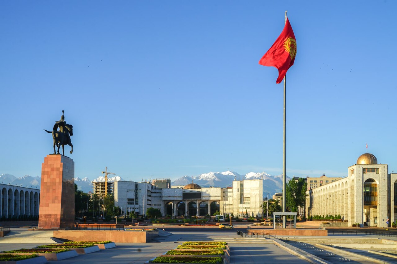
At Ala-Too, first locate the direction towards the Chingiz Aitmatov monument and your onward route. Skip repeating the square if you have already followed the central walk. Give the monument a separate pause, looking at the figure within its surroundings, then put your phone away and continue towards the trees.
On Erkindik, choose a simple observation theme: changing shade, the spacing of trees or the way side streets interrupt the walking axis. You do not need a historical story for every house. Notice the boulevard’s overall organisation and the places where you naturally want to stop. This keeps the walk interesting without adding more mandatory destinations.
Use the station as a clear finish
Watch for street crossings on the way to Bishkek II. An alley does not mean a continuous pedestrian zone: return your attention to traffic at each intersection and use a designated crossing. Find the continuation of the boulevard afterwards. In a group, agree to wait on a safe side of the street so nobody rushes to catch up.
At the station, compare the spread of the façade with the green axis you have followed. A public exterior viewpoint is enough to complete the walk; access to platforms is not part of it. Plan the return journey in advance because this route is linear. If you have a train to catch, allow separate time for entering and boarding.
The map and your stops
The outline follows the saved pedestrian track. External navigation may choose another path. The stop marker does not guarantee an open entrance.
Ala-Too Square
Bishkek’s central square, with monuments and fountain areas.
Walking access may change during state celebrations.
Approach or exterior view; admission to the interior is not confirmed.
Show on the city map ↗Chingiz Aitmatov Monument
A monument to the writer by the southern part of Ala-Too Square.
A convenient stop before heading to Erkindik Boulevard.
Approach or exterior view; admission to the interior is not confirmed.
Show on the city map ↗Erkindik Boulevard
A green boulevard with paths between the central blocks and the railway station.
Pause at street intersections and use the crossings.
Approach or exterior view; admission to the interior is not confirmed.
Show on the city map ↗Bishkek II Railway Station
The railway station building at the southern end of Erkindik Boulevard.
Finish by the city-facing facade; there is no need to enter the tracks.
Approach or exterior view; admission to the interior is not confirmed.
Show on the city map ↗
Before you go
- Choose an available bench for a break without depending on a particular café.
- Pause your conversation and concentrate at road crossings.
- Arrange your return separately; the route ends at the station.
Terrain and access
Boulevard paths with several street intersections; use marked crossings.
- Calculated using the OpenStreetMap pedestrian network; not verified by an on-site walk. Closures and barriers may change the path.
- Visit time is an editorial estimate. Check museum and religious-site admission, tickets and access separately.
Times are estimates, not opening hours. Ticketed visits and queues can extend the walk. Accessibility has not been surveyed on site.
Questions before the walk
Can I walk in the opposite direction?
You can use the same stops from the station towards the centre. Check each crossing as you go: the saved sequence begins at Ala-Too.
Do I need to take a train?
No. The station is an architectural endpoint. Train schedules, platform access and tickets are outside the scope of the walking route.
Sources and verification
Written by walkymap from remotely checked sources. No on-site walk is claimed.
Мэрия Бишкека — Эркиндик – отрада памяти моей … ·
Мэрия Бишкека — Торжественное открытие обновленной площади Ала-Тоо ·
© OpenStreetMap contributors · ODbL. Track geometry and distance are from the route dataset.
Elevation estimate: Mapterhorn. Terrain model; stairs and small changes in level may be missed.