.jpg)
Your walk at a glance
- Walking distance
- 0.9 km
- Walking time, estimated
- 15 min
- Allow with stops
- 40–60 min
- Ascent / descent, estimated
- ↑ 0 / ↓ 0 m
Start: Novi Sad Synagogue
Finish: Saint George’s Cathedral
Mostly level city pavements and pedestrian streets.
Open this walking route ↗Look at buildings as groups
At the synagogue, include the neighbouring former school and community building in your view. Look for materials and façade elements that repeat across the complex. This makes the stop more than a photograph of a dome. You can make that comparison from outside and keep an interior visit as a separate possibility.
At Liberty Square, step back until you can take in both the City Hall and the Church of the Name of Mary. Compare their vertical lines, windows and positions around the square before moving closer. The Catholic landmark is correctly called the Church of the Name of Mary; the Orthodox St George’s Cathedral comes later.
Follow the street perspective
Between the square and the Bishop’s Palace, look above the shopfronts to keep the architectural theme in view. Choose a few façades to compare instead of photographing every building. Near the palace, turn back along the street and notice how the perspective closes. This helps connect the individual landmarks into a legible sequence.
The catalogue describes this central walk as mostly level, but that is not a guarantee against kerbs or temporary obstructions. Follow the actual pavement and crossing conditions. The synagogue, palace and churches are mapped as approaches or exterior stops; entry to buildings, performances and other activities needs to be checked separately.
The map and your stops
The outline follows the saved pedestrian track. External navigation may choose another path. The stop marker does not guarantee an open entrance.
Novi Sad Synagogue
This Hungarian Art Nouveau synagogue forms an ensemble with former Jewish community buildings.
Start with the exterior; visiting arrangements depend on the venue schedule.
Approach or exterior view; admission to the interior is not confirmed.
Show on the city map ↗City Hall
The Neo-Renaissance City Hall frames one side of Liberty Square.
View the façade from the square; the walk does not require entering the administrative building.
Approach or exterior view; admission to the interior is not confirmed.
Show on the city map ↗Name of Mary Church
A Neo-Gothic Catholic church with a tall tower and colourful tiled roof.
Step towards the middle of the square to see the roof and tower together.
Approach or exterior view; admission to the interior is not confirmed.
Show on the city map ↗Bishop’s Palace
The ornate episcopal residence closes the view along pedestrian Zmaj Jovina Street.
Pause in front of the façade, then continue to the neighbouring cathedral.
Approach or exterior view; admission to the interior is not confirmed.
Show on the city map ↗Saint George’s Cathedral
The Orthodox cathedral beside the Bishop’s Palace has a prominent bell tower.
If entering, respect services and the church’s visiting rules.
Approach or exterior view; admission to the interior is not confirmed.
Show on the city map ↗
Before you go
- Find a position outside the main pedestrian flow before taking a wide photograph of Liberty Square.
- If time is limited, choose one stop for a close look and use the others to compare shapes.
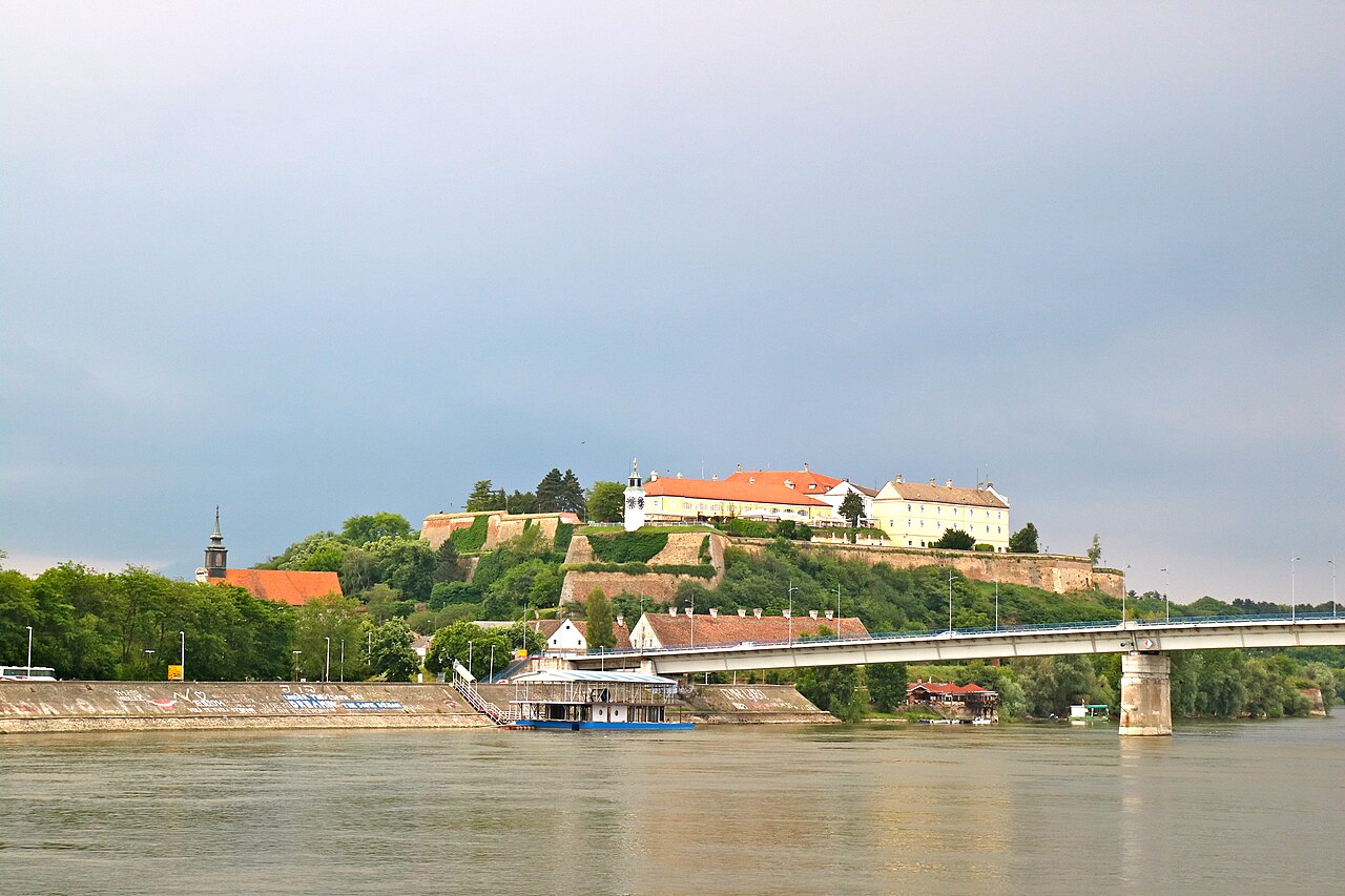
- Treat the crossing to Petrovaradin as another walk: the bridge and climb change the effort after the central streets.
Terrain and access
Mostly level city pavements and pedestrian streets.
- Calculated using the OpenStreetMap pedestrian network; not verified by an on-site walk. Closures and barriers may change the path.
- Visit time is an editorial estimate. Check museum and religious-site admission, tickets and access separately.
Times are estimates, not opening hours. Ticketed visits and queues can extend the walk. Accessibility has not been surveyed on site.
Questions before the walk
Is this a good first visit to Novi Sad?
Yes, if central streets and architecture are your priority. The Danube panorama and fortress belong to a different route with a different walking profile.
Do I need museum opening times to use this route?
They do not control an exterior walk. If entering a particular building matters to you, check its access arrangements and add time for that visit.
Sources and verification
Written by walkymap from remotely checked sources. No on-site walk is claimed.
Tourism Organisation of Novi Sad — City Centre ·
Tourism Organisation of Novi Sad — Novi Sad Synagogue ·
© OpenStreetMap contributors · ODbL. Track geometry and distance are from the route dataset.
Elevation estimate: Mapterhorn. Terrain model; stairs and small changes in level may be missed.