Start with the station
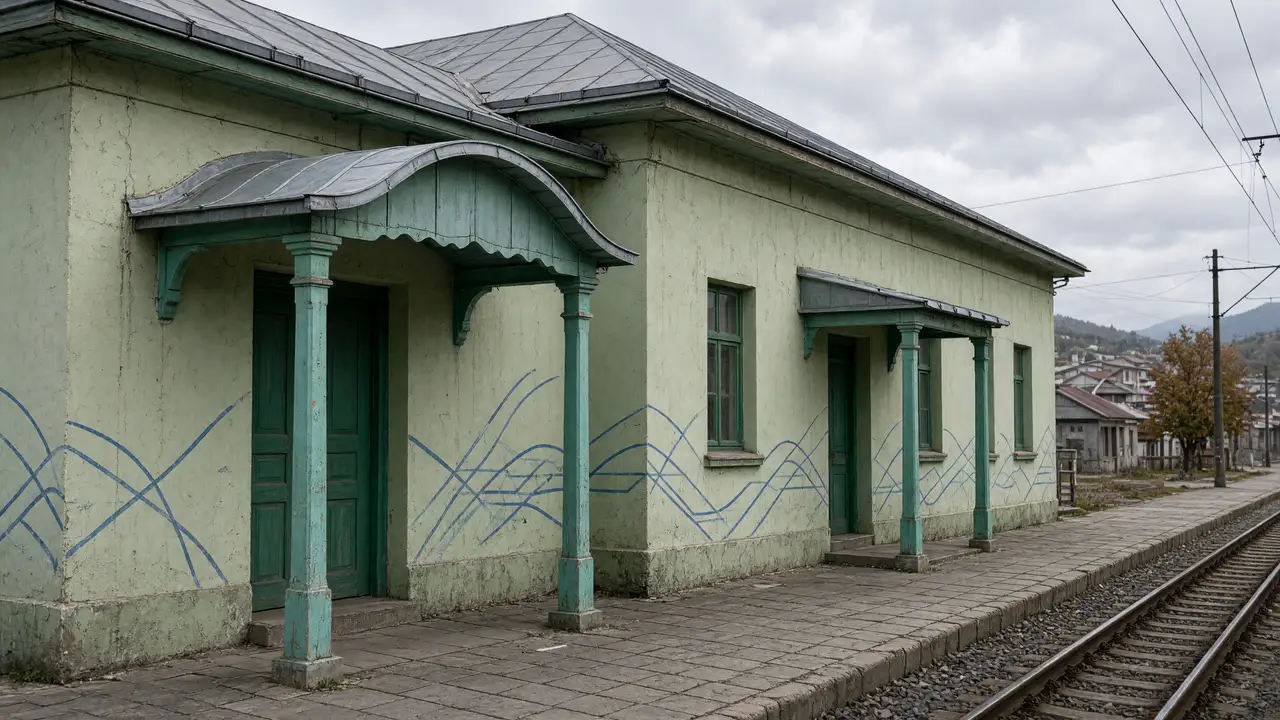
The small station building shows how the resort was connected with the Borjomi gorge. Look at the narrow-gauge scale, platform and station architecture. The route does not follow the rails. Georgia Travel’s winter-planning article says the Kukushka is not operating; this walk does not rely on a train service
From the old village to the resort
Between the station and park, ordinary houses alternate with resort buildings and small public facilities. At Trinity Church the walk uses the surrounding street network; it assumes no shortcut through the plot. End the short version by the cinema or continue to the Nativity Church and the green part of the centre
Stops in route order
Bakuriani railway station — The narrow-gauge station and modest station building trace the resort’s transport history. View from the station forecourt; Kukushka passenger service is not confirmed
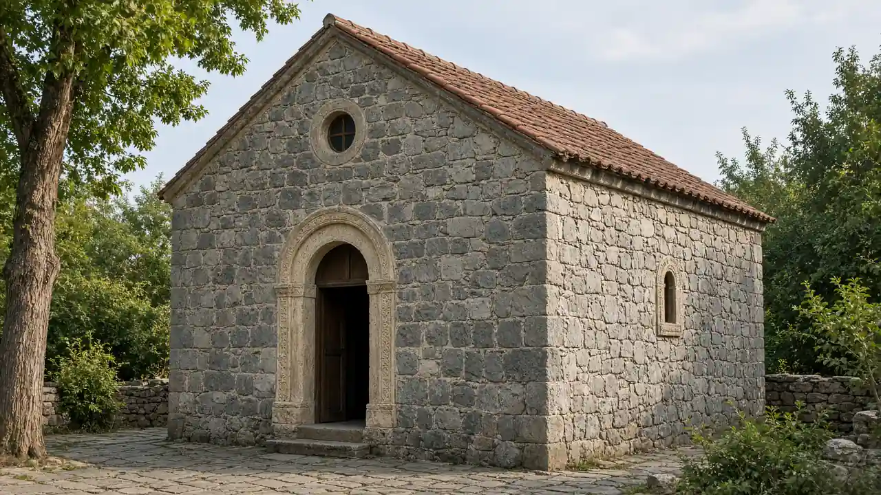
Bakuriani Trinity Church — A small Orthodox church in the residential streets between the station and centre. Check admission and services on site
Bakuriani Cinema — A small cinema on David Agmashenebeli Street and a useful central landmark. Check screenings separately
Church of the Nativity — A church beside Bakuriani’s central streets and resort parks. Keep visits quiet; the route does not require going inside
Park by central Bakuriani — Green area with paths beside the central streets and Joyland. Use open paths; rides have separate admission and operating arrangements
Access and planning
Allow for snow, ice and narrowed pavements in winter. Church admission and cinema screenings are separate arrangements
Shorten the walk at the cinema or continue on the separate parks-and-resort route
Map and stops
The numbered markers match the stops below. A marker does not guarantee an open entrance
Access: Approach or exterior view; admission to the interior is not confirmed
Bakuriani railway station
The narrow-gauge station and modest station building trace the resort’s transport history
View from the station forecourt; Kukushka passenger service is not confirmed
Show on the city map ↗Bakuriani Trinity Church
A small Orthodox church in the residential streets between the station and centre
Check admission and services on site
Show on the city map ↗Bakuriani Cinema
A small cinema on David Agmashenebeli Street and a useful central landmark
Check screenings separately
Show on the city map ↗Church of the Nativity
A church beside Bakuriani’s central streets and resort parks
Keep visits quiet; the route does not require going inside
Show on the city map ↗Park by central Bakuriani
Green area with paths beside the central streets and Joyland
Use open paths; rides have separate admission and operating arrangements
Show on the city map ↗
Before the walk
- Town streets and gentle gradients; snow and ice are possible in winter
- Walking time excludes visits, transport, queues and long breaks
- Calculated using the OSM pedestrian network; not verified by an on-site walk
- Snow conditions and resort operations may change access; do not walk on ski runs
Check hours, tickets and access with each venue. Barriers may change the track and queues may add time. Accessibility has not been surveyed on site
Questions before the walk
How long is this walking route?
The mapped track is 1.9 km, with about 30 minutes of walking at an assumed 4.2 km/h. Reaching the start, visits and breaks are separate
What access arrangements need checking?
Allow for snow, ice and narrowed pavements in winter. Church admission and cinema screenings are separate arrangements
How can this visit be shortened or continued?
Shorten the walk at the cinema or continue on the separate parks-and-resort route
Sources and verification
Written by walkymap from remotely checked sources. No on-site walk is claimed
georgia.travel — georgia.travel ·
georgia.travel — georgia.travel ·
www.openstreetmap.org — www.openstreetmap.org ·
www.openstreetmap.org — www.openstreetmap.org ·
www.openstreetmap.org — www.openstreetmap.org ·
www.openstreetmap.org — www.openstreetmap.org ·
www.openstreetmap.org — www.openstreetmap.org ·
© OpenStreetMap contributors · ODbL. Track geometry and distance are from the route dataset
Elevation estimate: Mapterhorn. Terrain model; stairs and small changes in level may be missed