Where the park ends
Bakuriani’s parks are not one continuous pedestrian zone. The map separates the area beside Joyland from the southern green space. Their connecting section follows the town network rather than cutting through hotel grounds. Within each area, choose open paths instead of aiming for a marker in the grass
Rides and the training area
Joyland and Snow Park are resort-infrastructure landmarks. Their inclusion does not provide ride admission or permission to walk onto an active slope. An exterior stop at the training area is enough before returning to the town streets
Stops in route order
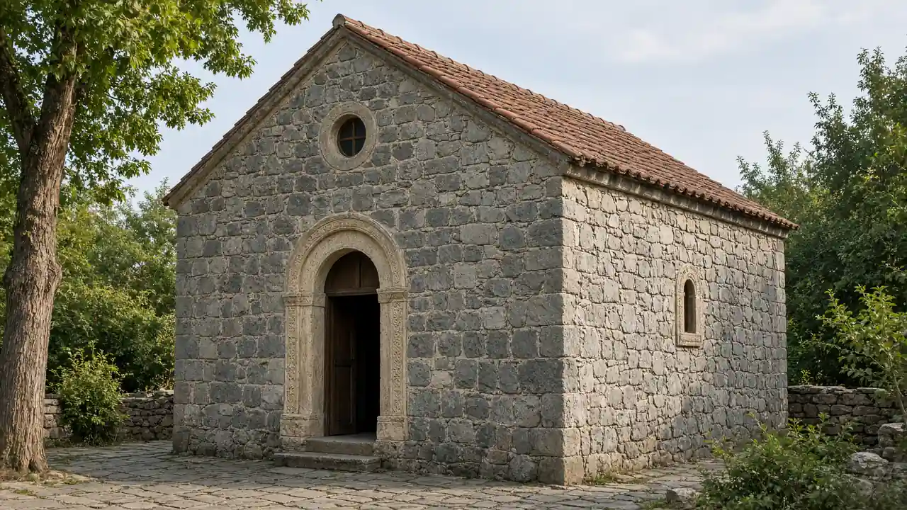
Church of the Nativity — A church beside Bakuriani’s central streets and resort parks. Keep visits quiet; the route does not require going inside
Park by central Bakuriani — Green area with paths beside the central streets and Joyland. Use open paths; rides have separate admission and operating arrangements
Joyland Park — An amusement area beside the central resort streets. Check individual attractions and seasonal operation separately
Snow Park central training area — A beginner ski area near the centre, visible from surrounding streets. Stay off active ski runs; the walk follows the edge of the area
Southern Bakuriani park — Parkland among resort buildings south of the old centre. Paths may not be cleared after snowfall
Access and planning
Snow, seasonal barriers and ride operations affect access. If a path is closed, return to the street
For a shorter outing, keep the centre, Joyland and nearby park; visit the southern section separately
Map and stops
The numbered markers match the stops below. A marker does not guarantee an open entrance
Access: Approach or exterior view; admission to the interior is not confirmed
Church of the Nativity
A church beside Bakuriani’s central streets and resort parks
Keep visits quiet; the route does not require going inside
Show on the city map ↗Park by central Bakuriani
Green area with paths beside the central streets and Joyland
Use open paths; rides have separate admission and operating arrangements
Show on the city map ↗Joyland Park
An amusement area beside the central resort streets
Check individual attractions and seasonal operation separately
Show on the city map ↗Snow Park central training area
A beginner ski area near the centre, visible from surrounding streets
Stay off active ski runs; the walk follows the edge of the area
Show on the city map ↗Southern Bakuriani park
Parkland among resort buildings south of the old centre
Paths may not be cleared after snowfall
Show on the city map ↗
Before the walk
- Park paths and streets; ski slopes are not part of the walking route
- Walking time excludes visits, transport, queues and long breaks
- Calculated using the OSM pedestrian network; not verified by an on-site walk
- Snow conditions and resort operations may change access; do not walk on ski runs
Check hours, tickets and access with each venue. Barriers may change the track and queues may add time. Accessibility has not been surveyed on site
Questions before the walk
How long is this walking route?
The mapped track is 3.1 km, with about 45 minutes of walking at an assumed 4.2 km/h. Reaching the start, visits and breaks are separate
What access arrangements need checking?
Snow, seasonal barriers and ride operations affect access. If a path is closed, return to the street
How can this visit be shortened or continued?
For a shorter outing, keep the centre, Joyland and nearby park; visit the southern section separately
Sources and verification
Written by walkymap from remotely checked sources. No on-site walk is claimed
georgia.travel — georgia.travel ·
georgia.travel — georgia.travel ·
www.openstreetmap.org — www.openstreetmap.org ·
www.openstreetmap.org — www.openstreetmap.org ·
www.openstreetmap.org — www.openstreetmap.org ·
www.openstreetmap.org — www.openstreetmap.org ·
www.openstreetmap.org — www.openstreetmap.org ·
© OpenStreetMap contributors · ODbL. Track geometry and distance are from the route dataset
Elevation estimate: Mapterhorn. Terrain model; stairs and small changes in level may be missed