What to see
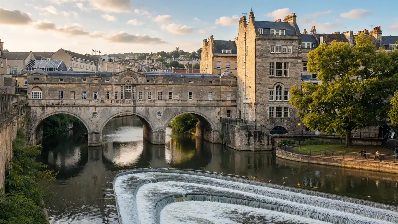
Pulteney is distinctive for buildings directly on the bridge. Great Pulteney Street leads towards the Holburne Museum and Sydney Gardens. The Kennet and Avon Canal shifts from formal architecture to locks and waterway history
How to walk
From Guildhall, cross Pulteney and pass Beazer Maze and Henrietta Park. Follow Great Pulteney Street to Holburne and Sydney Gardens. Continue through Bathwick towards the Deep Lock; some links follow streets
Map and stops
The numbered markers match the stops below. A marker does not guarantee an open entrance
Access: Approach or exterior view; admission to the interior is not confirmed
Guildhall
Georgian civic building beside the market
View the façade from a public street; check interior access separately
Show on the city map ↗Pulteney Bridge
Stone bridge over the Avon lined with shops on both sides
Stop clear of the main passage and stay behind barriers
Show on the city map ↗Beazer Garden Maze
Small stone labyrinth beside the eastern bank of the Avon
Use open paths and follow signs around closed areas
Show on the city map ↗Henrietta Park
Quiet tree-filled park beside Bathwick's Georgian streets
Use open paths and follow signs around closed areas
Show on the city map ↗Great Pulteney Street
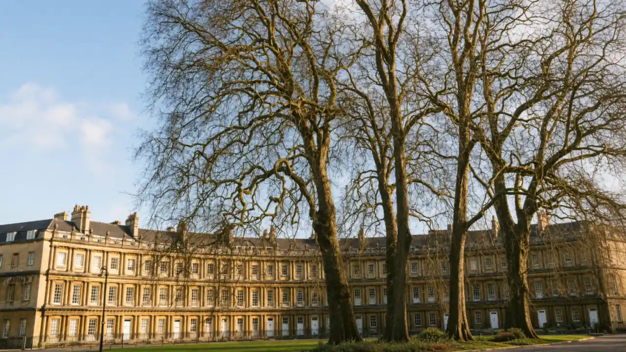
Broad Georgian street leading towards the Holburne Museum
Follow the public route; courtyards and residential entrances are not through paths
Show on the city map ↗Holburne Museum
Art museum in a former hotel beside Sydney Gardens
Check current exhibitions and tickets; indoor visit time is separate from walking
Show on the city map ↗Sydney Gardens
Historic park with a canal and railway running through its greenery
Use open paths and follow signs around closed areas
Show on the city map ↗St Mary the Virgin, Bathwick
Gothic church on the eastern side of the city near the canal
Check the open entrance and service times; remain quiet inside
Show on the city map ↗Bath Deep Lock
Deep navigation lock on the Kennet and Avon Canal
View from the permitted approach; interiors may require a ticket
Show on the city map ↗
Before the walk
- Share the towpath with oncoming users and keep back from lock edges
- Pulteney Bridge and Holburne Museum are separate stops; check museum admission
Check hours, tickets and access with each venue. Barriers may change the track and queues may add time. Accessibility has not been surveyed on site
Questions before the walk
How can the walk be shortened?
Finish at Holburne Museum and skip the remaining track. This is a shorter one-way option; returning to the start is separate
How long does the walking section take?
3.4 km, about 50 minutes at the assumed walking speed of 4.2 km/h. Sightseeing, photographs and indoor visits are extra
Sources and verification
Written by walkymap from remotely checked sources. No on-site walk is claimed
Visit Bath — Landmarks in Bath ·
Visit Bath — Bath architecture ·
© OpenStreetMap contributors · ODbL. Track geometry and distance are from the route dataset
Elevation estimate: Mapterhorn. Terrain model; stairs and small changes in level may be missed