What to see
The Roman Baths are an archaeological museum complex; Thermae is a modern spa. They are separate visits. The Pump Room introduces spa culture, while the abbey connects the centre with religious history
How to walk
Start at the World Heritage Centre, pass Cross Bath and Thermae, then reach the Pump Room, Roman Baths and abbey. Continue past Ralph Allen’s house and the former theatre to St John’s and Parade Gardens
Map and stops
The numbered markers match the stops below. A marker does not guarantee an open entrance
Access: Approach or exterior view; admission to the interior is not confirmed
Bath World Heritage Centre
Interpretation centre for the city's Roman and Georgian heritage
Check current exhibitions and tickets; indoor visit time is separate from walking
Show on the city map ↗Cross Bath
Historic bathing building above a thermal spring
View the façade from a public street; check interior access separately
Show on the city map ↗Thermae Bath Spa
Contemporary thermal complex among historic spa buildings
Check tickets and opening for an interior visit; the track does not establish free admission
Show on the city map ↗Pump Room
Historic spa society room beside the Roman Baths
View the façade from a public street; check interior access separately
Show on the city map ↗Roman Baths
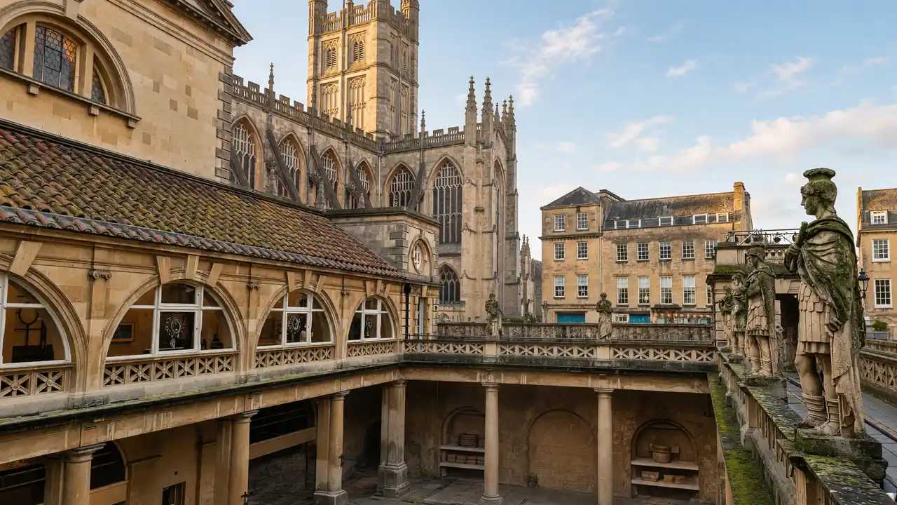
Roman bathing complex built around a hot spring
Check tickets and opening for an interior visit; the track does not establish free admission
Show on the city map ↗Bath Abbey
Gothic church with fan vaulting beside the Roman Baths
Check the open entrance and service times; remain quiet inside
Show on the city map ↗Ralph Allen's Town House
Ornate façade of entrepreneur Ralph Allen's town residence
View the façade from a public street; check interior access separately
Show on the city map ↗Old Orchard Street Theatre
Historic theatre building later converted into a Masonic hall
Check current exhibitions and tickets; indoor visit time is separate from walking
Show on the city map ↗St John the Evangelist Church
Neo-Gothic Catholic church with a tall spire beside the Avon
Check the open entrance and service times; remain quiet inside
Show on the city map ↗Parade Gardens
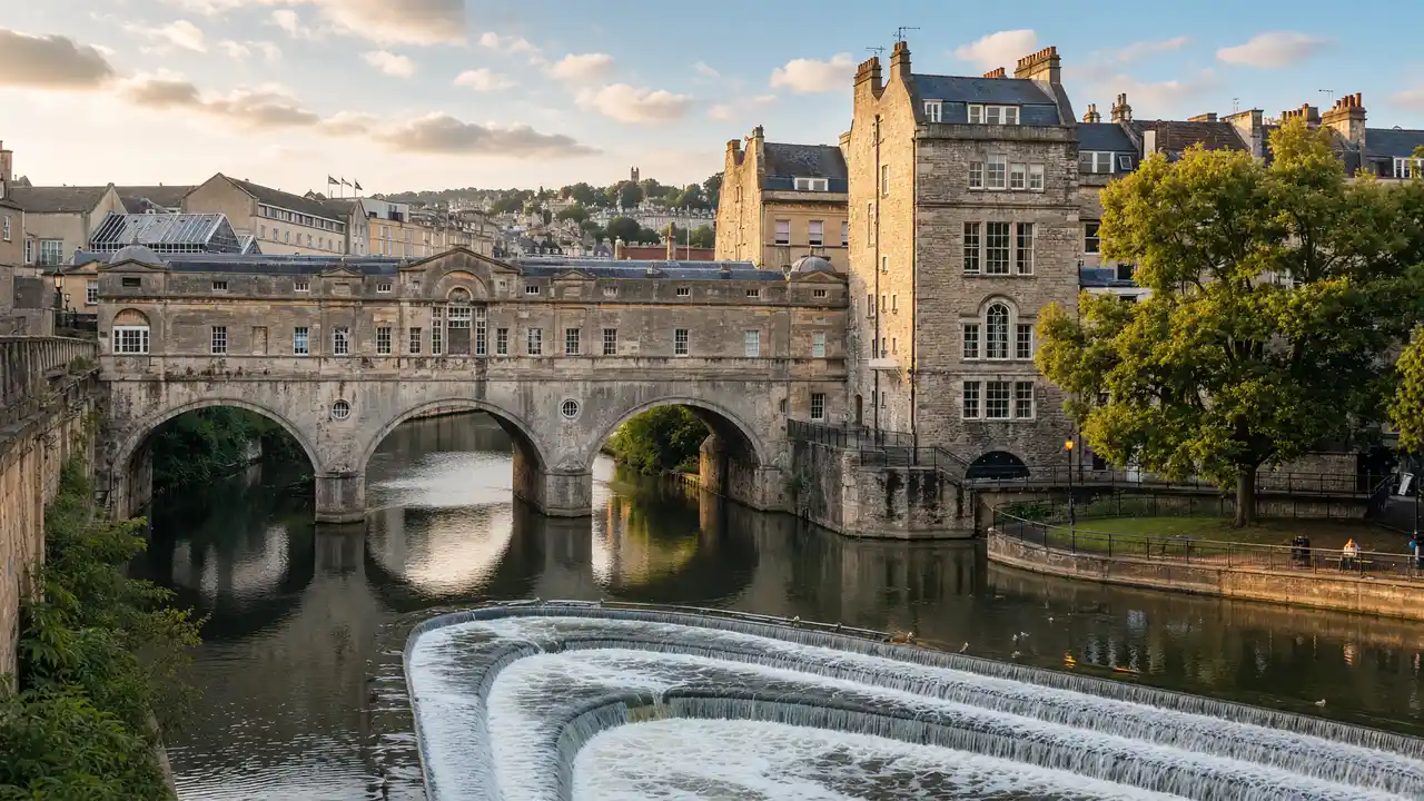
Avon-side gardens overlooking Pulteney Bridge and the weir
Use open paths and follow signs around closed areas
Show on the city map ↗
Before the walk
- Check separate tickets for the Roman Baths and spa; bathing is not offered in the archaeological complex
- With limited time, choose the Roman Baths or spa and leave the other for another day
Check hours, tickets and access with each venue. Barriers may change the track and queues may add time. Accessibility has not been surveyed on site
Questions before the walk
How can the walk be shortened?
Finish at Bath Abbey and skip the remaining track. This is a shorter one-way option; returning to the start is separate
How long does the walking section take?
1.7 km, about 25 minutes at the assumed walking speed of 4.2 km/h. Sightseeing, photographs and indoor visits are extra
Sources and verification
Written by walkymap from remotely checked sources. No on-site walk is claimed
Visit Bath — Landmarks in Bath ·
Visit Bath — Bath architecture ·
© OpenStreetMap contributors · ODbL. Track geometry and distance are from the route dataset
Elevation estimate: Mapterhorn. Terrain model; stairs and small changes in level may be missed