What the map actually shows
The palace marker identifies the building, while the navigation point is an outside approach. OSM marks the footbridge gate as closed and locked. The track therefore does not cross that bridge towards the façade. This matters: a view of the palace from the walk’s endpoint is not guaranteed
Likani as a separate part of the day
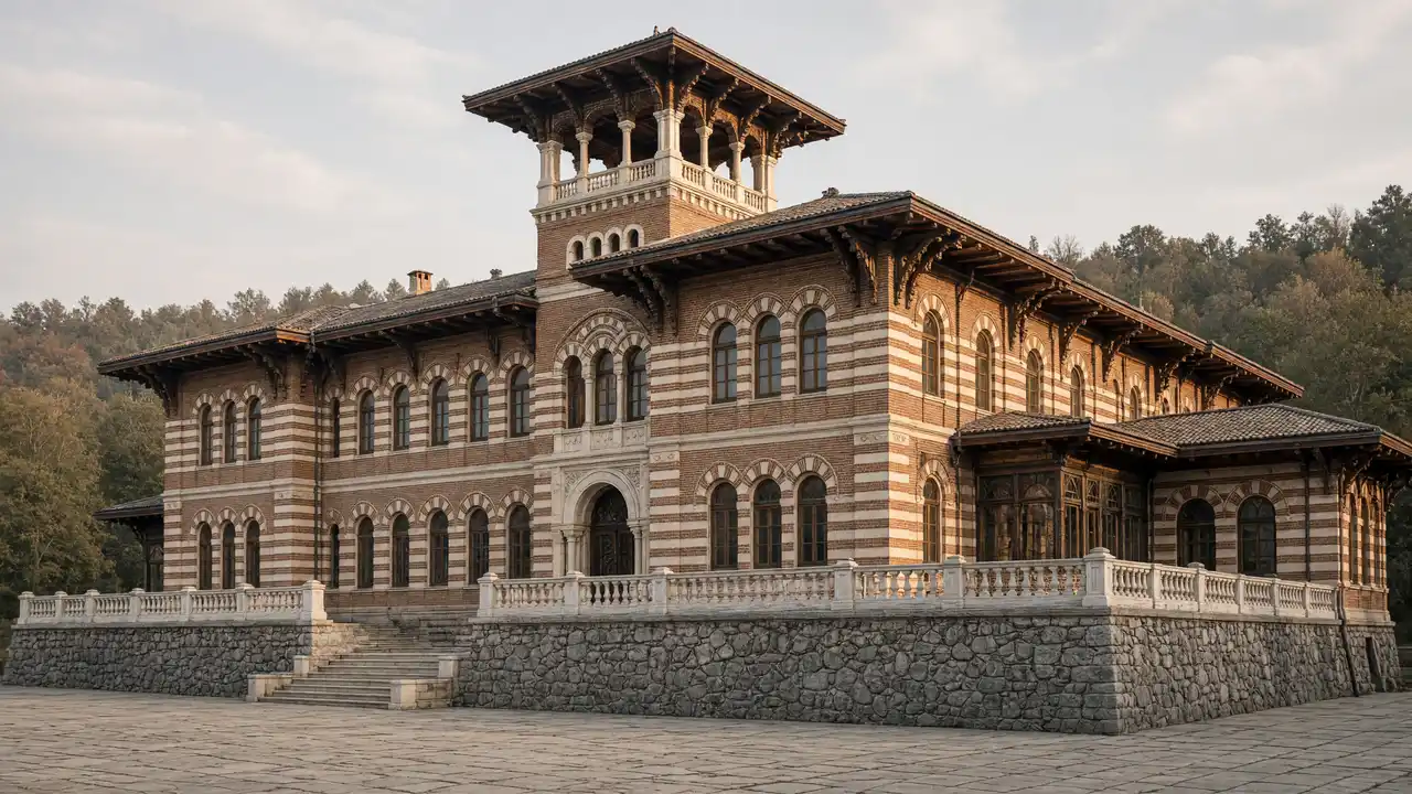
The walk links churches in the western neighbourhoods with the palace-site approach. There are more changes in elevation and fewer spa promenades than in Central Park. The illustration depicts the palace architecture, not a verified view from public space. To see the building, check the actual visiting arrangements in advance
Stops in route order
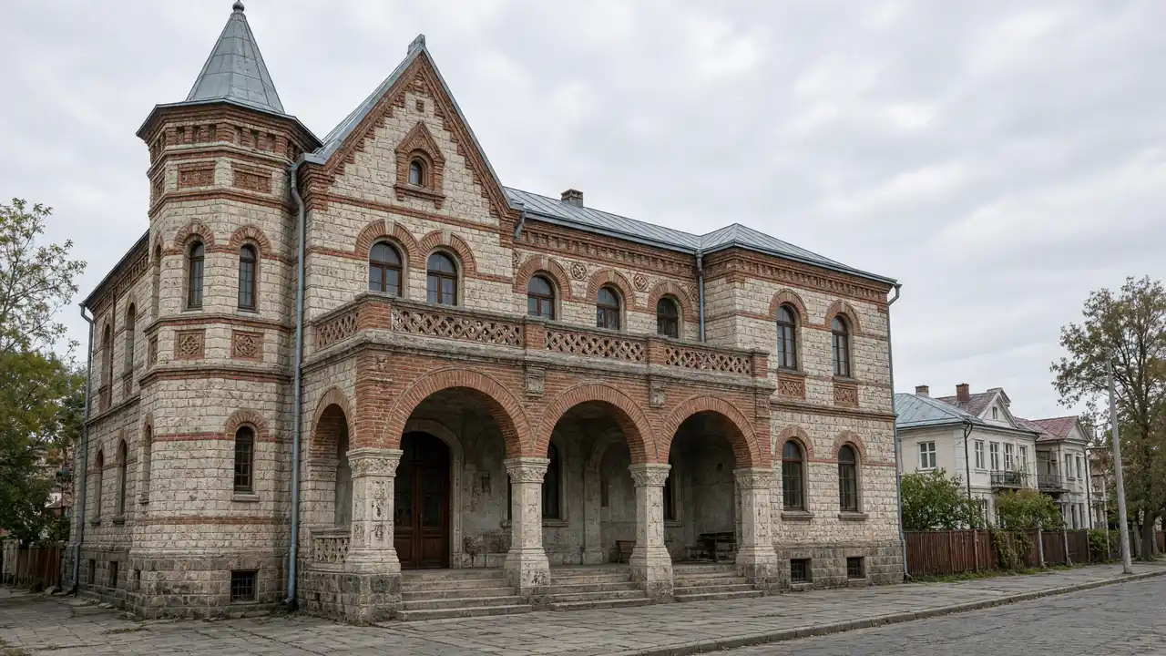
Church of the Virgin Mary — A church in the western residential area between Borjomi and Likani. Cross the road only at suitable crossings
St Elijah Church — An Orthodox church on the western town slope. The approach includes an incline and local streets
Romanov Palace in Likani — An asymmetric palace with verandas in Likani, west of central Borjomi. The track reaches locked gates; palace admission and visibility are not guaranteed
Access and planning
Do not bypass locked gates or enter private grounds. If the palace itself is the goal, first confirm whether a visit is possible
Petre Fortress has a separate walk; its rocky ascent requires an open, dry path
Map and stops
The numbered markers match the stops below. A marker does not guarantee an open entrance
Access: Approach or exterior view; admission to the interior is not confirmed
Church of the Virgin Mary
A church in the western residential area between Borjomi and Likani
Cross the road only at suitable crossings
Show on the city map ↗St Elijah Church
An Orthodox church on the western town slope
The approach includes an incline and local streets
Show on the city map ↗Romanov Palace in Likani
An asymmetric palace with verandas in Likani, west of central Borjomi
The track reaches locked gates; palace admission and visibility are not guaranteed
Show on the city map ↗
Before the walk
- Changes in elevation and urban roads; palace grounds may be closed
- Walking time excludes visits, transport, queues and long breaks
- Calculated using the OSM pedestrian network; not verified by an on-site walk
- Use only open paths and public approaches; check indoor admission separately
Check hours, tickets and access with each venue. Barriers may change the track and queues may add time. Accessibility has not been surveyed on site
Questions before the walk
How long is this walking route?
The mapped track is 2.5 km, with about 40 minutes of walking at an assumed 4.2 km/h. Reaching the start, visits and breaks are separate
What access arrangements need checking?
Do not bypass locked gates or enter private grounds. If the palace itself is the goal, first confirm whether a visit is possible
How can this visit be shortened or continued?
Petre Fortress has a separate walk; its rocky ascent requires an open, dry path
Sources and verification
Written by walkymap from remotely checked sources. No on-site walk is claimed
georgia.travel — georgia.travel ·
www.openstreetmap.org — www.openstreetmap.org ·
www.openstreetmap.org — www.openstreetmap.org ·
www.openstreetmap.org — www.openstreetmap.org ·
© OpenStreetMap contributors · ODbL. Track geometry and distance are from the route dataset
Elevation estimate: Mapterhorn. Terrain model; stairs and small changes in level may be missed