Follow the domes towards the water
At Toqi Telpak Furushon, passages branch beneath the dome and light changes through the covered space. Shopping is a separate pause. Time at the first stalls reduces the time available for later stops
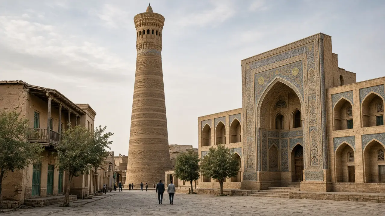
At Magoki Attori, the mosque’s scale contrasts with the surrounding passages. Toqi Sarrofon then brings the route into a domed space. Pauses for observation or photographs need to leave the passage clear
Keep time for the final lanes
Lyabi-Hauz is a possible main rest point. The pond and surrounding buildings lead to the Nadir Divan Begi facade. The approach follows the accessible waterside path, not the middle of the pond. A longer pause leaves less time for the final section
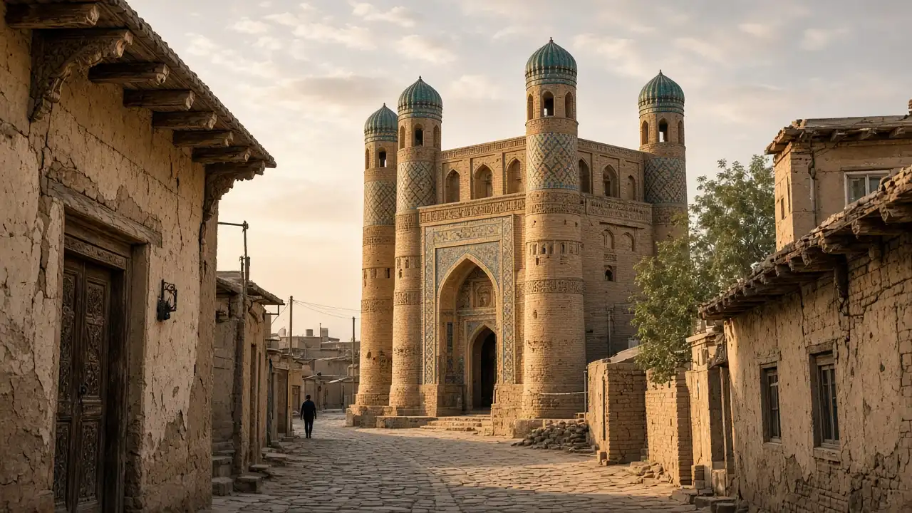
The route continues through residential streets to Chor Minor. Public passages and residents’ privacy need respect, without photographs into homes. The four towers can be viewed together before their decoration is compared. Shade is limited; paving and kerbs need care as tiredness increases
Map and stops
The numbered markers match the stops below. A marker does not guarantee an open entrance
Access: Approach or exterior view; admission to the interior is not confirmed
Toqi Telpak Furushon
A covered trading junction in the old town
Several passages meet beneath the dome, so the exit needs attention
Show on the city map ↗Magoki Attori Mosque
An old mosque retaining decoration on its southern portal
Look closely at the low portal and watch for steps and changes in level
Show on the city map ↗Toqi Sarrofon
A trading dome on the approach to Lyabi Hauz
Make a short stop here before the square beside the pool
Show on the city map ↗Lyabi Hauz
An ensemble of madrasahs and a khanqah surrounding a pool
Use the paths around the pool; the marker identifies the pool, not an entrance
Show on the city map ↗Nadir Divan Begi Madrasah
The madrasah beside Lyabi Hauz has bird imagery on its portal
Study the decoration from the square; plan any events separately
Show on the city map ↗Chor Minor
A four-towered monument among the residential lanes of old Bukhara
Keep quiet in the residential lanes and ask locally about any rooftop access
Show on the city map ↗
Before the walk
- Keep water and energy for the walk after Lyabi-Hauz
- Give shopping its own pause so it does not consume the route
- Plan an exterior view of Chor Minor; access upstairs is not confirmed
Check hours, tickets and access with each venue. Barriers may change the track and queues may add time. Accessibility has not been surveyed on site
Questions before the walk
Can the walk finish at Lyabi-Hauz?
Yes. That makes a shorter walk through the trading area. Save Chor Minor as a separate destination instead of rushing through its approach
Does this walk include Poi-Kalyan?
No. It has a separate route. Combining them requires additional time for the connection, breaks and careful viewing of both ensembles
Sources and verification
Written by walkymap from remotely checked sources. No on-site walk is claimed
Uzbekistan Travel — National PR Centre — Lyabi-Hauz ensemble ·
Uzbekistan Travel — National PR Centre — Chor Minor ·
© OpenStreetMap contributors · ODbL. Track geometry and distance are from the route dataset
Elevation estimate: Mapterhorn. Terrain model; stairs and small changes in level may be missed