St Michael’s Church → Nathaniel Russell House
Choose the southern tip of the peninsula for the waterfront and large historic houses
St Michael’s Church: White steeple at the junction of Broad and Meeting streets
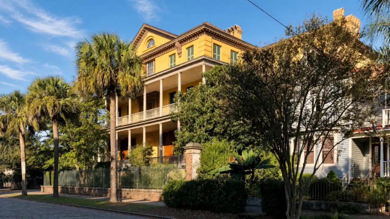
Nathaniel Russell House: House museum with early nineteenth-century interiors and enslaved residents’ history
Williams Mansion → White Point Garden
View façades from the street; the Nathaniel Russell and Heyward-Washington house museums have separate admission arrangements
Williams Mansion: Large Victorian mansion opposite White Point Garden
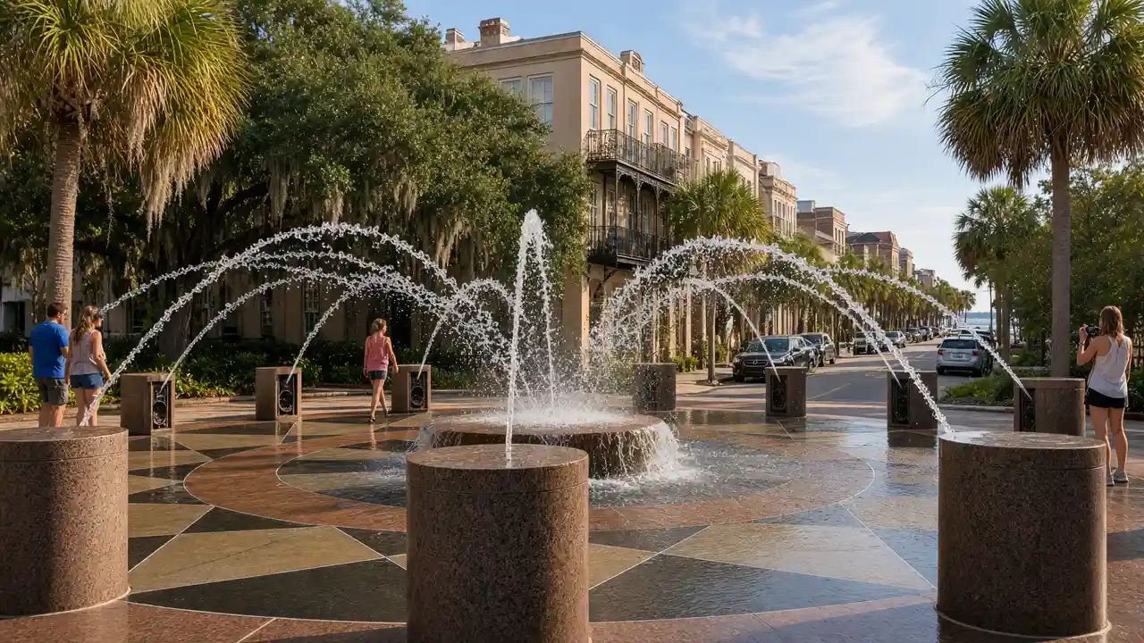
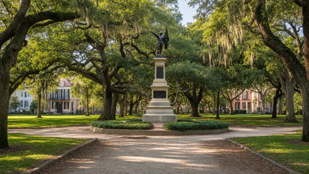
White Point Garden: Oak-shaded park at the southern tip of the peninsula
Heyward-Washington House → Old Exchange & Provost Dungeon
Account for wind and exposed sun at the Battery; use the available street side if a promenade section is closed
Heyward-Washington House: Georgian house museum with a historic kitchen and garden
Old Exchange & Provost Dungeon: Colonial public building with museum displays
Map and stops
The numbered markers match the stops below. A marker does not guarantee an open entrance
Access: Approach or exterior view; admission to the interior is not confirmed
St Michael’s Church
White steeple at the junction of Broad and Meeting streets
Check visiting times; avoid disturbing services and worshippers
Show on the city map ↗Nathaniel Russell House
House museum with early nineteenth-century interiors and enslaved residents’ history
Check admission with the museum; add indoor visiting time to the walk
Show on the city map ↗Williams Mansion
Large Victorian mansion opposite White Point Garden
View from the street; check interior access separately
Show on the city map ↗White Point Garden
Oak-shaded park at the southern tip of the peninsula
Use open paths; account for weather and closed sections
Show on the city map ↗Heyward-Washington House
Georgian house museum with a historic kitchen and garden
Check admission with the museum; add indoor visiting time to the walk
Show on the city map ↗Rainbow Row
Row of historic pastel-fronted houses on East Bay Street
View from the street; check interior access separately
Show on the city map ↗Old Exchange & Provost Dungeon
Colonial public building with museum displays
View from the street; check interior access separately
Show on the city map ↗
Before the walk
- Allow time for harbour views beside White Point Garden
- Check tours of the Russell and Heyward houses separately
- The route is not confirmed step-free; use open streets around closed sites
Check hours, tickets and access with each venue. Barriers may change the track and queues may add time. Accessibility has not been surveyed on site
Questions before the walk
Does the walk include admission to interiors?
The map links exterior viewpoints and approaches; museum visits, religious services and private buildings follow separate access rules
Does the route enter private yards?
No — view houses and mansions from public sidewalks
Sources and verification
Written by walkymap from remotely checked sources. No on-site walk is claimed
charlestoncvb.com — charlestoncvb.com ·
historiccharleston.org — historiccharleston.org ·
williamsmansion.com — williamsmansion.com ·
charlestoncvb.com — charlestoncvb.com ·
charlestonmuseum.org — charlestonmuseum.org ·
admin.charlestoncvb.com — admin.charlestoncvb.com ·
oldexchange.org — oldexchange.org ·
© OpenStreetMap contributors · ODbL. Track geometry and distance are from the route dataset
Elevation estimate: Mapterhorn. Terrain model; stairs and small changes in level may be missed