Charleston City Market → Philadelphia Alley
Begin around City Market; market buildings, theatres and churches reveal different sides of the old port
Charleston City Market: Historic complex of market halls in the city centre
Philadelphia Alley: Narrow historic passage between Church Street and State Street
Dock Street Theatre → Pink House
Allow time for the slavery museum at Old Slave Mart; the building’s history extends beyond its façade
Dock Street Theatre: Historic theatre complex in the French Quarter
Pink House: Small historic house on Chalmers Street
Old Exchange & Provost Dungeon → Waterfront Park Pier
Continue to Waterfront Park and Rainbow Row; stay on pavements and avoid residential courtyards on narrow streets
Old Exchange & Provost Dungeon: Colonial public building with museum displays
Waterfront Park Pier: Pedestrian pier extending into the harbour
Map and stops
The numbered markers match the stops below. A marker does not guarantee an open entrance
Access: Approach or exterior view; admission to the interior is not confirmed
Charleston City Market
Historic complex of market halls in the city centre
View from the street; check interior access separately
Show on the city map ↗The Powder Magazine
Colonial gunpowder store with museum displays
View from the street; check interior access separately
Show on the city map ↗St Philip’s Church
Tall steeple above Church Street and a historic churchyard
Check visiting times; avoid disturbing services and worshippers
Show on the city map ↗Philadelphia Alley
Narrow historic passage between Church Street and State Street
View from the street; check interior access separately
Show on the city map ↗Dock Street Theatre
Historic theatre complex in the French Quarter
Check admission with the museum; add indoor visiting time to the walk
Show on the city map ↗French Huguenot Church
Gothic church with a pink façade in the French Quarter
Check visiting times; avoid disturbing services and worshippers
Show on the city map ↗Old Slave Mart Museum
Museum of the domestic slave trade in a former auction building
Check admission with the museum; add indoor visiting time to the walk
Show on the city map ↗Pink House
Small historic house on Chalmers Street
View from the street; check interior access separately
Show on the city map ↗Old Exchange & Provost Dungeon
Colonial public building with museum displays
View from the street; check interior access separately
Show on the city map ↗Rainbow Row
Row of historic pastel-fronted houses on East Bay Street
View from the street; check interior access separately
Show on the city map ↗Joe Riley Waterfront Park
Harbourfront park with promenades and water views
Use open paths; account for weather and closed sections
Show on the city map ↗Pineapple Fountain
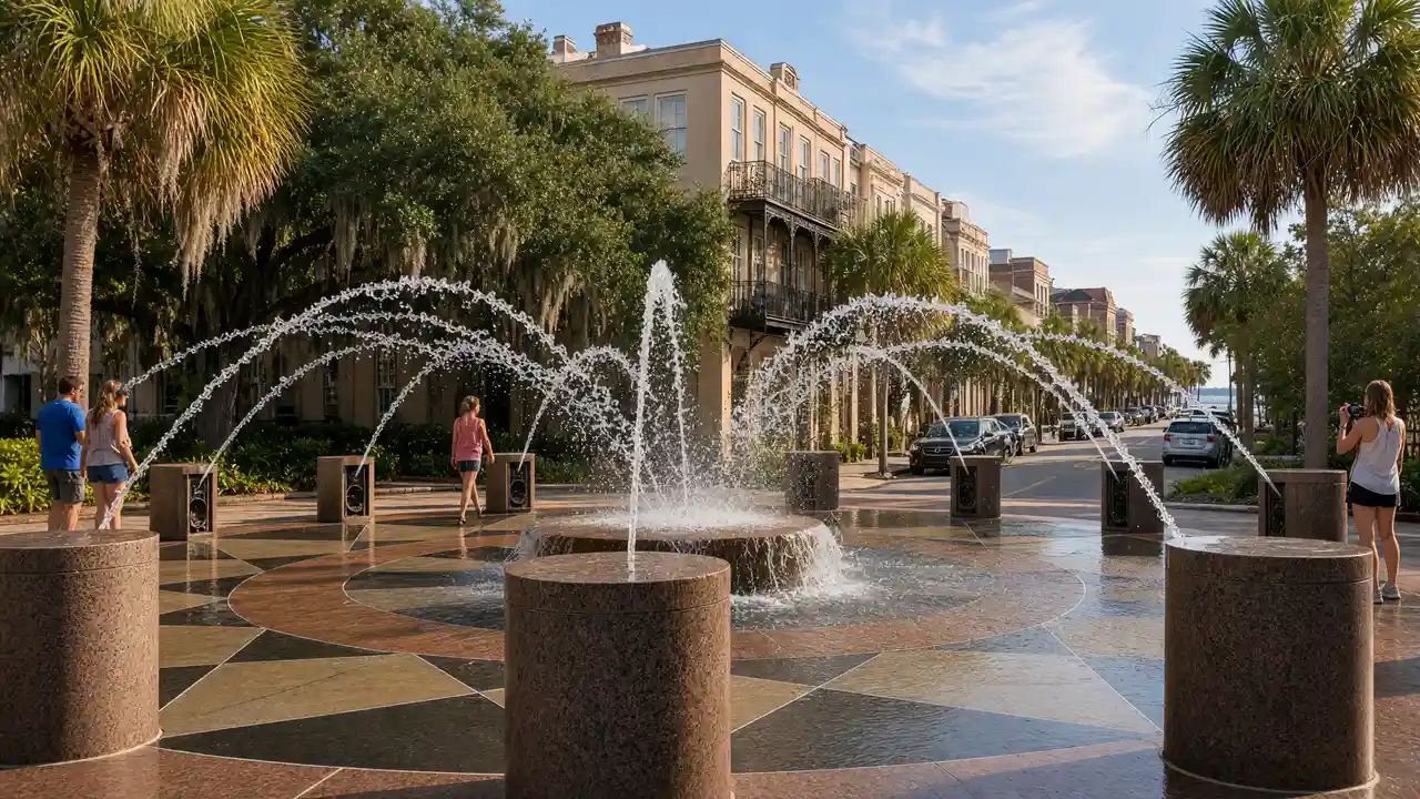
Pineapple-shaped fountain marking the waterfront
Stay on the open pedestrian path; avoid closed docks
Show on the city map ↗Waterfront Park Pier
Pedestrian pier extending into the harbour
Stay on the open pedestrian path; avoid closed docks
Show on the city map ↗
Before the walk
- Allow separate time for the history of slavery at Old Slave Mart Museum
- Allow for exposed sections without shade on the pier
- The route is not confirmed step-free; use open streets around closed sites
Check hours, tickets and access with each venue. Barriers may change the track and queues may add time. Accessibility has not been surveyed on site
Questions before the walk
Does the walk include admission to interiors?
The map links exterior viewpoints and approaches; museum visits, religious services and private buildings follow separate access rules
Does the waterfront walk include museum tickets?
The streets and park route includes no tickets for museums, the theatre or the Old Exchange
Sources and verification
Written by walkymap from remotely checked sources. No on-site walk is claimed
thecharlestoncitymarket.com — thecharlestoncitymarket.com ·
powdermagazine.org — powdermagazine.org ·
stpchurch.org — stpchurch.org ·
charlestoncvb.com — charlestoncvb.com ·
charleston-sc.gov — charleston-sc.gov ·
charleston-sc.gov — charleston-sc.gov ·
oldexchange.org — oldexchange.org ·
admin.charlestoncvb.com — admin.charlestoncvb.com ·
online.charlestoncvb.com — online.charlestoncvb.com ·
© OpenStreetMap contributors · ODbL. Track geometry and distance are from the route dataset
Elevation estimate: Mapterhorn. Terrain model; stairs and small changes in level may be missed