From the museum to the university
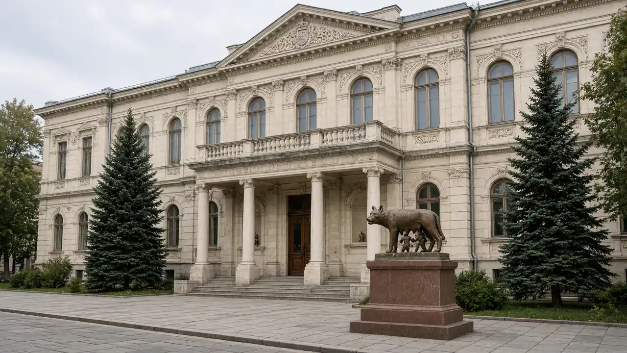
Start at the National Museum of Ethnography and Natural History. View the facade, then continue to the water tower. The tower houses the Museum of the City of Chișinău; plan admission and the climb separately
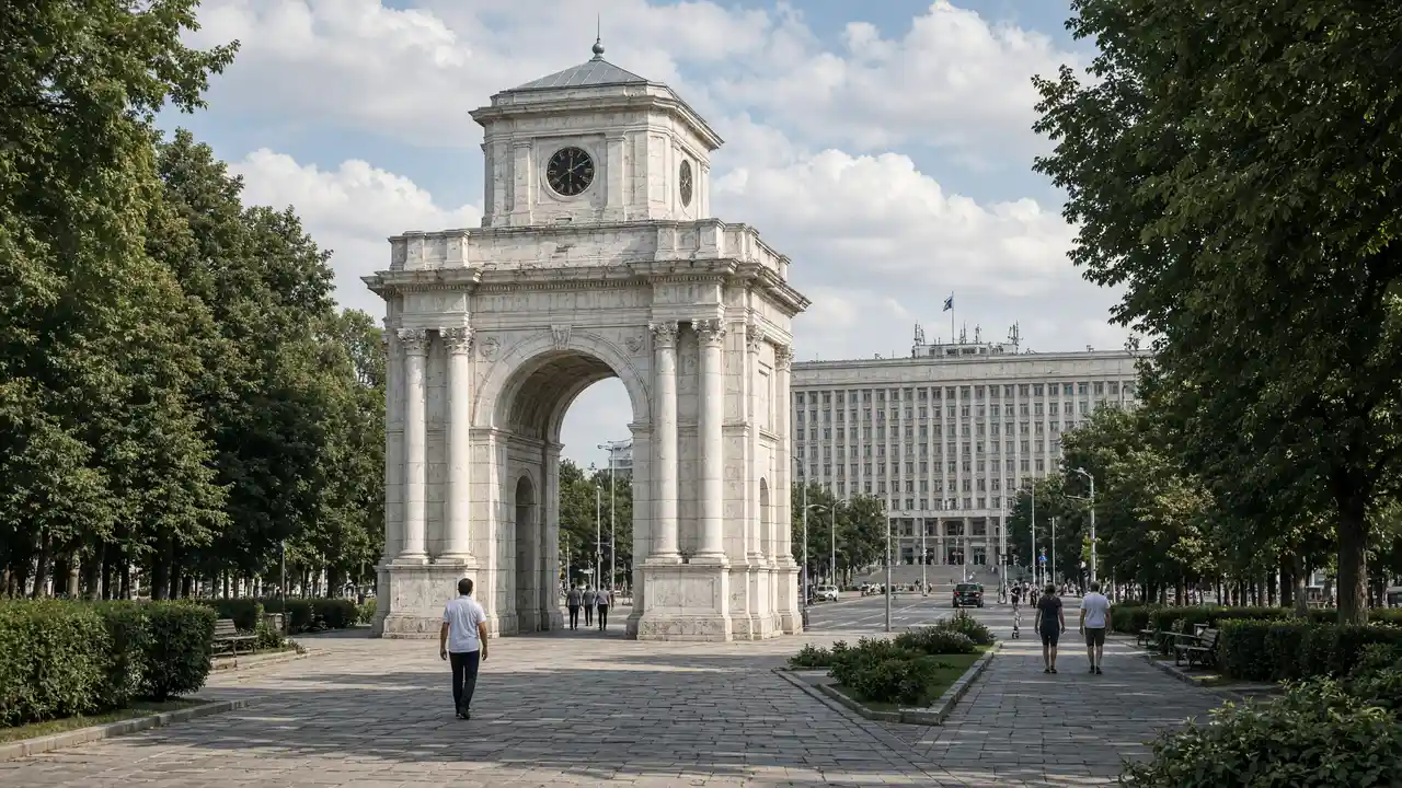
Moldova State University is the next landmark. View its buildings from the street rather than using teaching spaces as a through-route
Find the park entrance
The municipal tourism portal places Valea Morilor’s central entrance opposite the university, by the Ion and Doina Aldea-Teodorovici monument. From this side of the park, follow the track downhill to the lakeside path
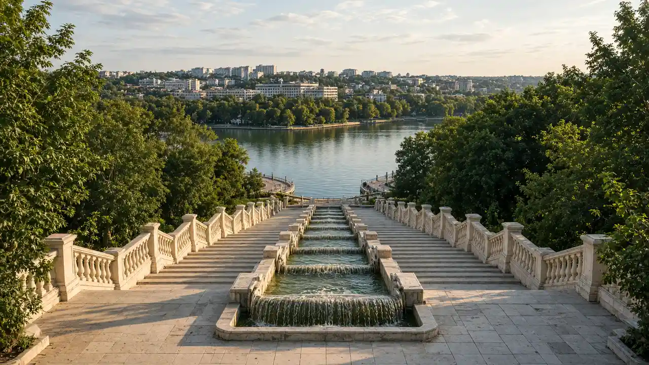
The Cascades Staircase is a separate park landmark. It is not the required entrance for this route: the track links the university and lakeside rather than every staircase in Valea Morilor
Descent and return
Check surfaces and wet steps after rain. Returning to the central streets involves a climb, outside the 1.5 km approach to the shore
For a shorter urban version, finish at the water tower before the descent into the valley. A lake circuit, museum visit or walk to another entrance adds distance and time
Map and stops
The numbered markers match the stops below. A marker does not guarantee an open entrance
Access · 1, 2, 3: Approach or exterior view; admission to the interior is not confirmed
National Museum of Ethnography and Natural History
Museum in a building with oriental motifs and decorative arches
Compare the façade ornament and follow garden visiting arrangements
Show on the city map ↗Chișinău Water Tower
A former water tower at Mateevici and Bănulescu-Bodoni streets. It houses the city history museum and an upper viewing terrace
Check terrace access and lift operation before entering, and add museum time separately to the walk
Show on the city map ↗Moldova State University
University complex between central blocks and the park slope
View the buildings from the street without entering teaching spaces
Show on the city map ↗Valea Morilor Park
A lakeside park in Buiucani. The rotunda and a 218-step cascade staircase connect the upper park with the waterfront
Treat the lakeside walk and the cascade staircase as separate efforts; allow for the return climb before descending
Path beside Valea Morilor lake
Show on the city map ↗
Before the walk
- Choose the return exit before descending
- Check a suitable entrance separately if steps are a barrier
- View buildings from outside; closed courtyards and interior passages are not essential parts of the walk
Check hours, tickets and access with each venue. Barriers may change the track and queues may add time. Accessibility has not been surveyed on site
Questions before the walk
Does this GPX go all the way around the lake?
No. It leads from the ethnography museum to the lakeside. A full lake circuit is not included in the file
Is step-free access guaranteed?
No. Route data records stairs and changes in height; a step-free approach has not been verified
Sources and verification
Written by walkymap from remotely checked sources. No on-site walk is claimed
visit.chisinau.md — visit.chisinau.md ·
www.openstreetmap.org — www.openstreetmap.org ·
en.wikipedia.org — Chișinău Water Tower ·
en.wikipedia.org — Moldova State University ·
www.openstreetmap.org — www.openstreetmap.org ·
Муниципальный туристический портал Кишинёва — Парк Валя-Морилор ·
Муниципальный туристический портал Кишинёва — Turnul de Apă ·
© OpenStreetMap contributors · ODbL. Track geometry and distance are from the route dataset
Elevation estimate: Mapterhorn. Terrain model; stairs and small changes in level may be missed