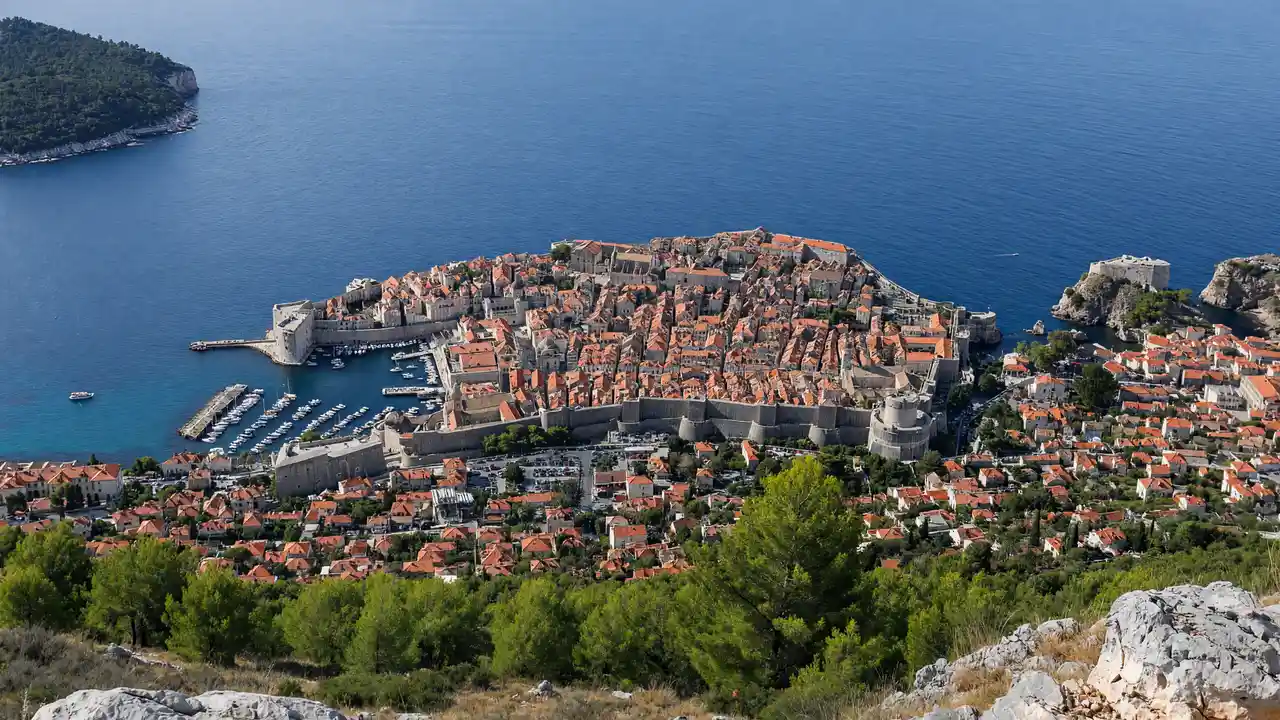
Start above the old town
Begin at Buža Gate and follow the mapped approach to the mountain path
Use designated road crossings on the lower section
The ascent becomes a rougher outdoor walk; leave the hottest part of the day free rather than carrying on to meet a fixed time
Plan the way down
The track ends at Fort Imperial
Allow separately for the museum, viewpoint stops and descent
Check cable-car service before departure if planning to use it; keep a workable walking return and enough daylight
Map and stops
The numbered markers match the stops below. A marker does not guarantee an open entrance
Access: Approach or exterior view; admission to the interior is not confirmed
Buža Gate
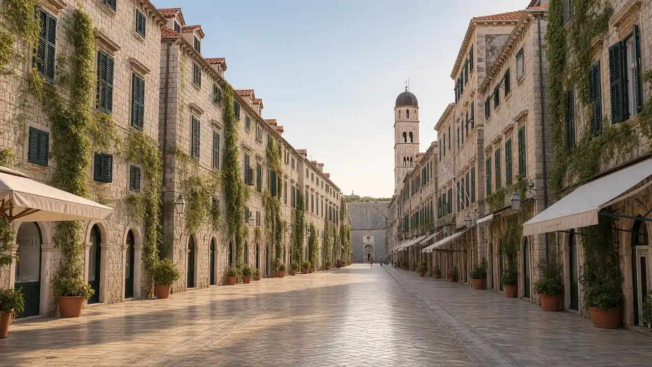
Northern old-town entrance reached by long stairways
View the façade from a public street; check interior access separately
Show on the city map ↗Fort Imperial
Fort on Mount Srđ with an exhibition about the War of Independence
View from the permitted approach; interiors may require a ticket
Show on the city map ↗
Before the walk
- Carry water, sun protection and shoes with grip
- Postpone the hike during severe heat, storms or local fire restrictions
- Mountain ascent on an exposed rocky slope; carry water and avoid heat or thunderstorms
Check hours, tickets and access with each venue. Barriers may change the track and queues may add time. Accessibility has not been surveyed on site
Questions before the walk
Does the displayed distance include the return?
No, this is the ascent to Fort Imperial; the return and any extension through Bosanka are separate
Can the descent rely entirely on the cable car?
No, check its operating status and keep a realistic walking return; weather or service changes can affect the plan
Sources and verification
Written by walkymap from remotely checked sources. No on-site walk is claimed
Dubrovnik Tourist Board — Dubrovnik hiking routes ·
Dubrovnik Tourist Board — Srđ mountain trail ·
© OpenStreetMap contributors · ODbL. Track geometry and distance are from the route dataset
Elevation estimate: Mapterhorn. Terrain model; stairs and small changes in level may be missed