A climb without hillside shortcuts
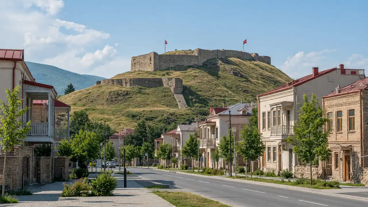
The fortress is visible from many parts of town, but that does not make every slope an access route. The track follows a mapped approach. Around the ruins, stable footing matters more than getting close to a wall edge; broken masonry should not become a staircase or photo platform
The town at the foot of the hill
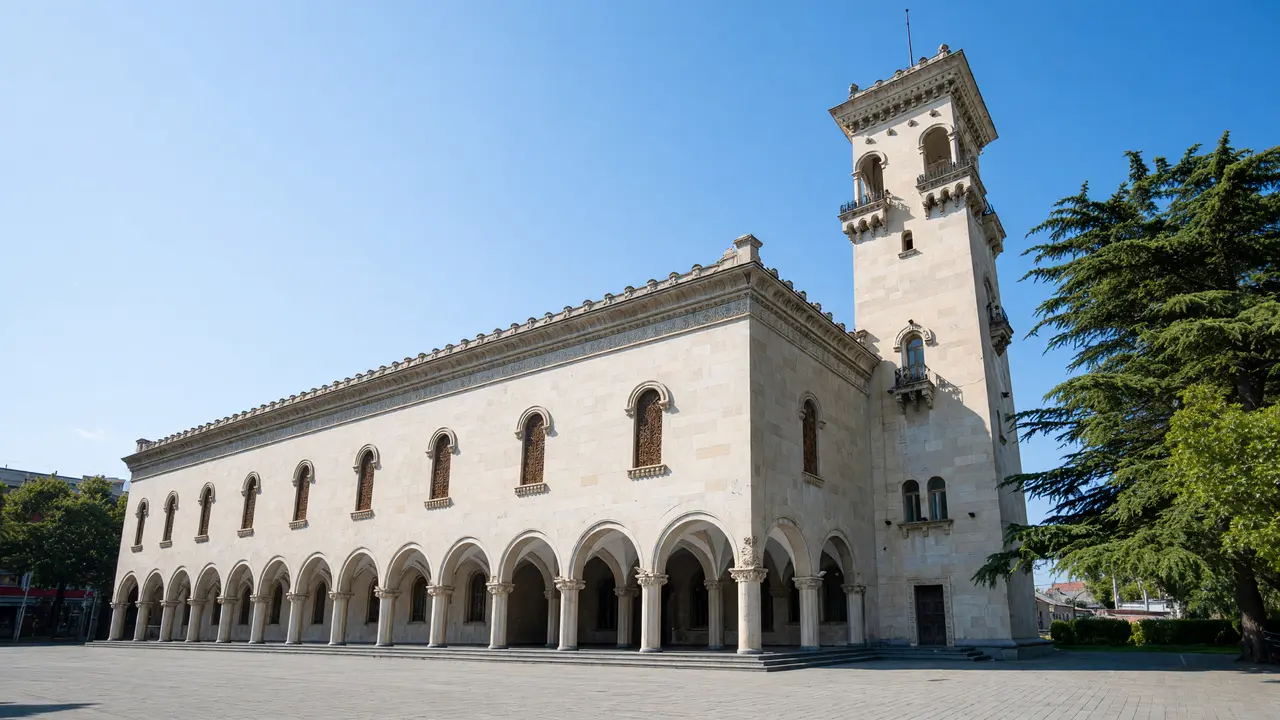
The theatre, Baratashvili Garden, Okona Church and Archangels Church show Gori’s everyday scale. Treat the warriors’ memorial as a place of remembrance. After the climb, continue to the cathedral and museum district without going back up the hill
Stops in route order
Giorgi Eristavi Theatre — A theatre building and garden in central Gori. View the façade and check the programme before a separate visit
Baratashvili Park — A small park within the central street grid. Use the paths as a break between museum stops
Okona Church — A small church in Gori’s residential streets. Do not treat a closed courtyard as a through route
Archangels Church — A church within the central urban fabric. Plan an exterior stop separately from religious services
Memorial of Georgian Warrior Heroes — A circle of bronze warriors at the foot of the fortress hill. View from the square without climbing the figures
Gori Fortress — Fortress walls rise above the town on a distinct rocky hill. Wear grippy footwear and stay off unprotected walls
Dormition Cathedral — A cathedral among the restored streets of the old centre. Check entry rules and respect services
Access and planning
The stone ascent may be slippery in rain. For a walk without climbing, keep the urban stops at the hill’s foot
Finish at the cathedral or continue with the separate museum-district and city-history guide
Map and stops
The numbered markers match the stops below. A marker does not guarantee an open entrance
Access: Approach or exterior view; admission to the interior is not confirmed
Giorgi Eristavi Theatre
A theatre building and garden in central Gori
View the façade and check the programme before a separate visit
Show on the city map ↗Baratashvili Park
A small park within the central street grid
Use the paths as a break between museum stops
Show on the city map ↗Okona Church
A small church in Gori’s residential streets
Do not treat a closed courtyard as a through route
Show on the city map ↗Archangels Church
A church within the central urban fabric
Plan an exterior stop separately from religious services
Show on the city map ↗Memorial of Georgian Warrior Heroes
A circle of bronze warriors at the foot of the fortress hill
View from the square without climbing the figures
Show on the city map ↗Gori Fortress
Fortress walls rise above the town on a distinct rocky hill
Wear grippy footwear and stay off unprotected walls
Show on the city map ↗Dormition Cathedral
A cathedral among the restored streets of the old centre
Check entry rules and respect services
Show on the city map ↗
Before the walk
- Fortress ascent with steps and uneven stone
- Walking time excludes visits, transport, queues and long breaks
- Calculated using the OSM pedestrian network; not verified by an on-site walk
- Use only open paths and public approaches; check indoor admission separately
Check hours, tickets and access with each venue. Barriers may change the track and queues may add time. Accessibility has not been surveyed on site
Questions before the walk
How long is this walking route?
The mapped track is 1.6 km, with about 25 minutes of walking at an assumed 4.2 km/h. Reaching the start, visits and breaks are separate
What access arrangements need checking?
The stone ascent may be slippery in rain. For a walk without climbing, keep the urban stops at the hill’s foot
How can this visit be shortened or continued?
Finish at the cathedral or continue with the separate museum-district and city-history guide
Sources and verification
Written by walkymap from remotely checked sources. No on-site walk is claimed
georgia.travel — georgia.travel ·
georgia.travel — georgia.travel ·
places.georgia.travel — places.georgia.travel ·
www.openstreetmap.org — www.openstreetmap.org ·
www.openstreetmap.org — www.openstreetmap.org ·
www.openstreetmap.org — www.openstreetmap.org ·
www.openstreetmap.org — www.openstreetmap.org ·
www.openstreetmap.org — www.openstreetmap.org ·
www.openstreetmap.org — www.openstreetmap.org ·
www.openstreetmap.org — www.openstreetmap.org ·
© OpenStreetMap contributors · ODbL. Track geometry and distance are from the route dataset
Elevation estimate: Mapterhorn. Terrain model; stairs and small changes in level may be missed