Choose the indoor stop
Begin at Bourbaki Panorama and continue to the Lion Monument and Glacier Garden
The monument and the garden museum are separate places
Choose an indoor visit in advance; the route’s walking estimate does not include exhibitions
Climb to the park
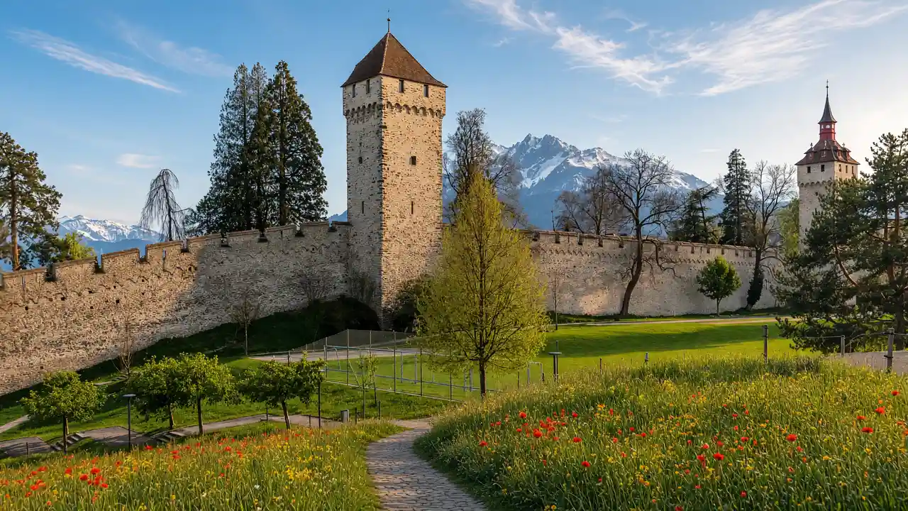
Continue by the Old Cemetery towards Dreilinden Park
The park sits above the shore, so allow for the climb before the panorama
Descend towards Seebad and finish at Hofkirche; for a shorter route, end after the Lion Monument area
Map and stops
The numbered markers match the stops below. A marker does not guarantee an open entrance
Access: Approach or exterior view; admission to the interior is not confirmed
Bourbaki Panorama
Circular painting about the internment of a French army in Switzerland
Check current exhibitions and tickets; indoor visit time is separate from walking
Show on the city map ↗Lion Monument
Rock relief commemorating the Swiss Guards
View from the permitted approach; interiors may require a ticket
Show on the city map ↗Glacier Garden
Natural-history museum around traces left by an ancient glacier
Check current exhibitions and tickets; indoor visit time is separate from walking
Show on the city map ↗Old Cemetery Park
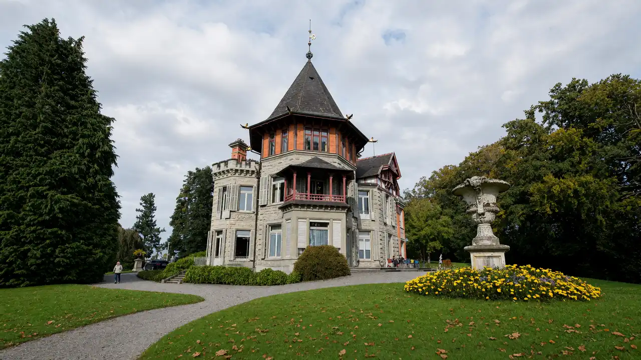
Park on a former cemetery site near the Hofkirche
Use open paths and follow signs around closed areas
Show on the city map ↗Dreilinden Park
Hillside park with trees and lake views
Use open paths and follow signs around closed areas
Show on the city map ↗Seebad
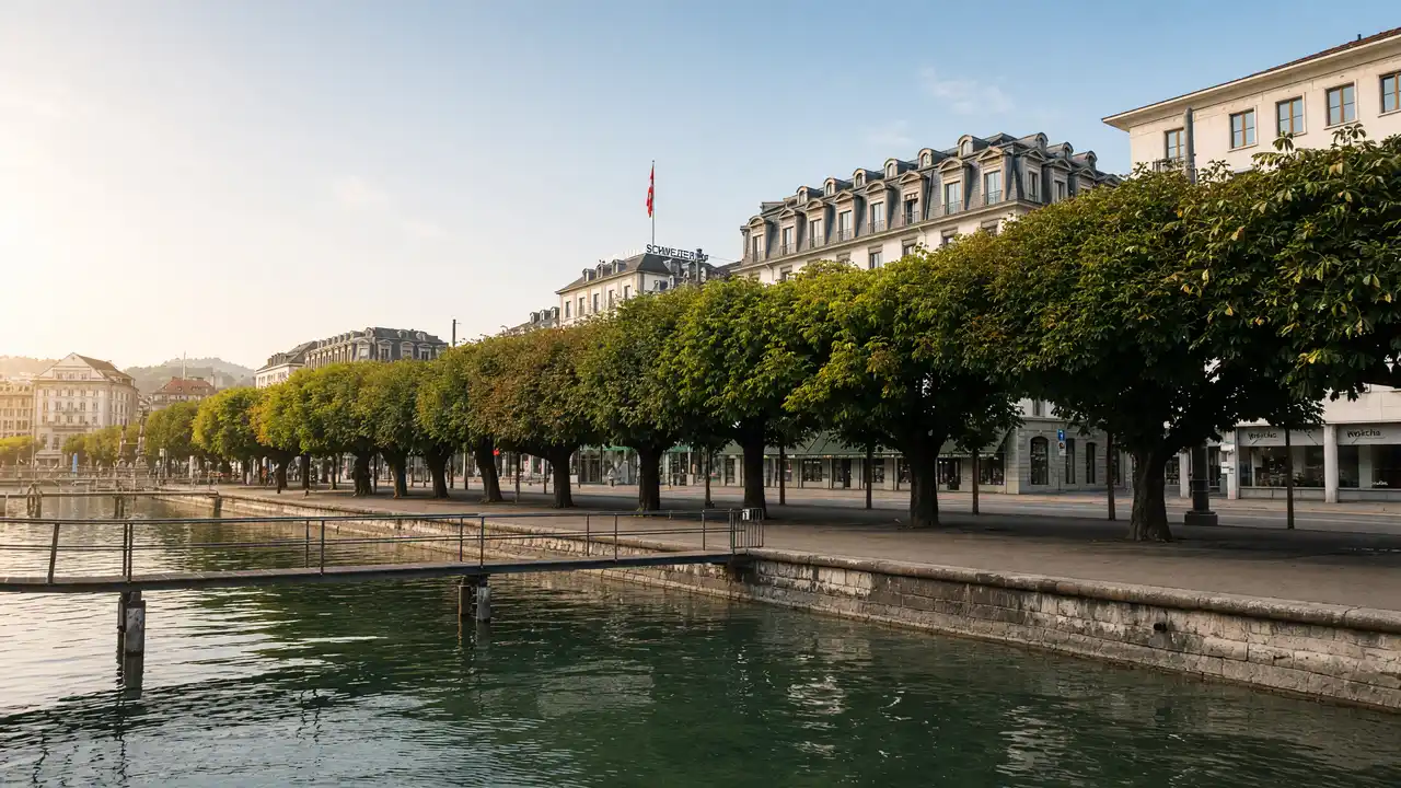
Wooden lakeside bathing pavilion on the northern promenade
View the façade from a public street; check interior access separately
Show on the city map ↗Church of St Leodegar
Twin-towered church on a rise above the lake
Check the open entrance and service times; remain quiet inside
Show on the city map ↗
Before the walk
- The full route is not a flat lakeside promenade
- Check Seebad access separately from the public shoreline
Check hours, tickets and access with each venue. Barriers may change the track and queues may add time. Accessibility has not been surveyed on site
Questions before the walk
Is Glacier Garden simply a free park beside the monument?
No, it is a visitor attraction with its own admission; Dreilinden is the separate public park later in the walk
Does the park panorama require a climb?
Yes, Dreilinden Park lies above the lake; the route later descends towards the waterfront
Sources and verification
Written by walkymap from remotely checked sources. No on-site walk is claimed
Lucerne Tourism — Dreilinden Park ·
Glacier Garden Lucerne — Glacier Garden visitor information ·
© OpenStreetMap contributors · ODbL. Track geometry and distance are from the route dataset
Elevation estimate: Mapterhorn. Terrain model; stairs and small changes in level may be missed