What to see
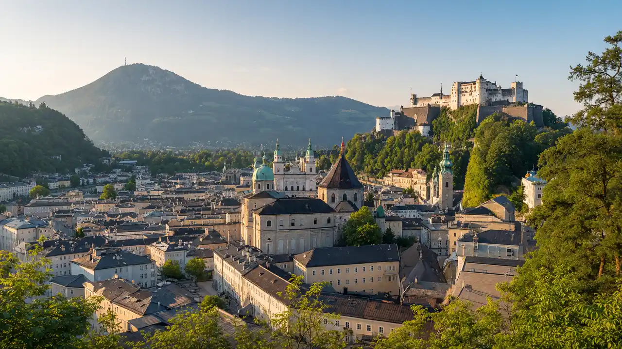
Pause outside the Museum of Modern Art for the old-town view. Humboldt Terrace and Richterhöhe offer different viewpoints. Wasserspiegel explores water supply; it is a museum, not a public shortcut through the reservoir
How to walk
Climb from Mülln Church and continue to the museum, Humboldt Terrace and Richterhöhe. After Wasserspiegel, descend to the Horse Pond. The track includes climbs; taking the lift changes the start of the walk
Map and stops
The numbered markers match the stops below. A marker does not guarantee an open entrance
Access: Approach or exterior view; admission to the interior is not confirmed
Mülln Church
Parish church on a hill above the northern riverfront
Check the open entrance and service times; remain quiet inside
Show on the city map ↗Museum of Modern Art Mönchsberg
Modern-art museum on the plateau above the city
Check current exhibitions and tickets; indoor visit time is separate from walking
Show on the city map ↗Humboldt Terrace
Mönchsberg viewing terrace above the old town
Stop clear of the main passage and stay behind barriers
Show on the city map ↗Richterhöhe
Mönchsberg viewpoint towards the southern surroundings
Stop clear of the main passage and stay behind barriers
Show on the city map ↗WasserSpiegel Water Museum
City water-supply museum in a Mönchsberg structure
Check tickets and opening for an interior visit; the track does not establish free admission
Show on the city map ↗Horse Pond
Decorative basin with frescoes and a horse-tamer sculpture
View from the permitted approach; interiors may require a ticket
Show on the city map ↗
Before the walk
- Allow for wet paths after rain; museum hours do not establish access to every path
- Taking the lift changes the track; walking time uses the route from Mülln
Check hours, tickets and access with each venue. Barriers may change the track and queues may add time. Accessibility has not been surveyed on site
Questions before the walk
How can the walk be shortened?
Finish at Museum of Modern Art Mönchsberg and skip the remaining track. This is a shorter one-way option; returning to the start is separate
How long does the walking section take?
3.6 km, about 55 minutes at the assumed walking speed of 4.2 km/h. Sightseeing, photographs and indoor visits are extra
Sources and verification
Written by walkymap from remotely checked sources. No on-site walk is claimed
Salzburg Tourism — Sights in Salzburg ·
Salzburg Tourism — Squares and streets in Salzburg ·
Salzburg Tourism — Churches and cemeteries in Salzburg ·
© OpenStreetMap contributors · ODbL. Track geometry and distance are from the route dataset
Elevation estimate: Mapterhorn. Terrain model; stairs and small changes in level may be missed