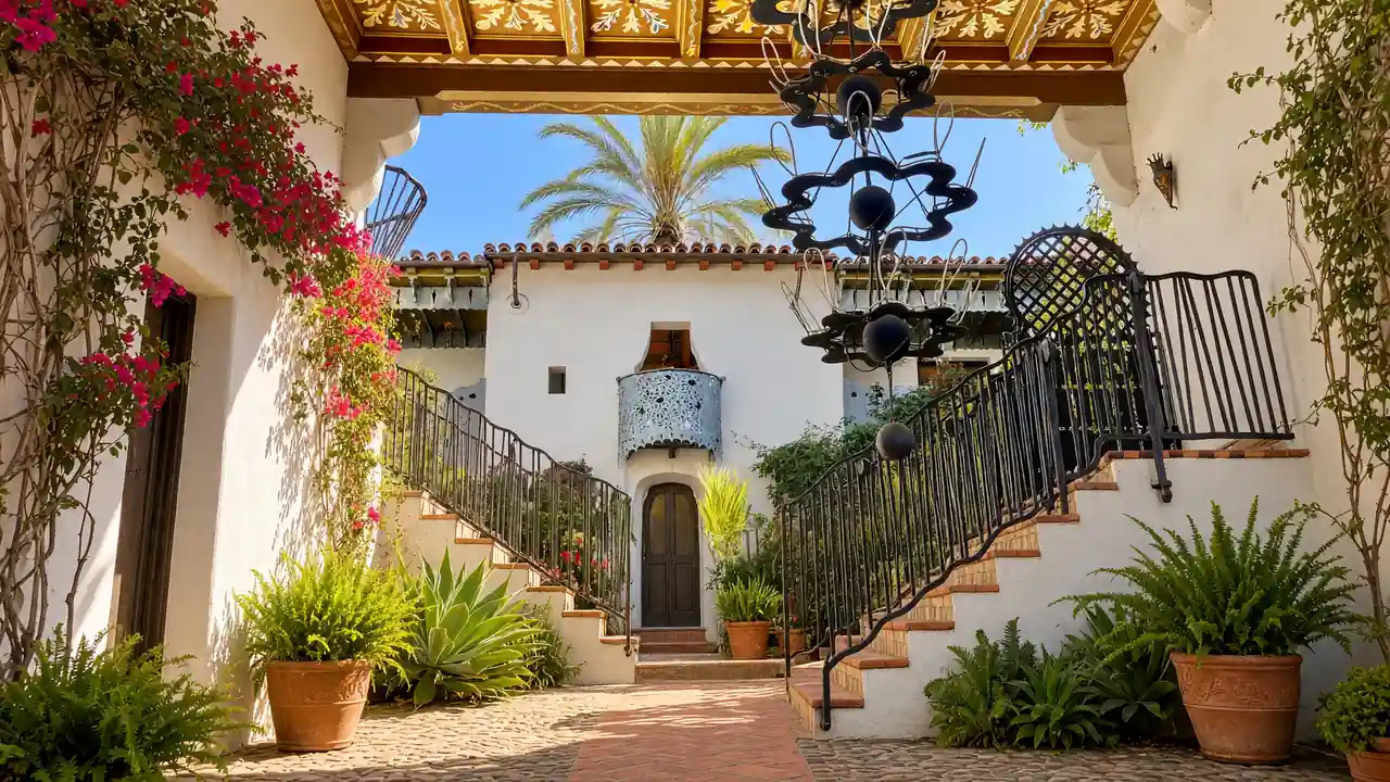
Pistachio House → Ablitt Tower
Start with Pistachio House and the narrow Ablitt Tower; look for tiles, ironwork and irregular façade lines
Pistachio House: Jeff Shelton house with tiled balcony blankets and plant-inspired ironwork
Ablitt Tower: Jeff Shelton’s narrow residential tower on a tiny alley lot
El Andaluz → Vera Cruz House
Continue to El Andaluz and Vera Cruz; these are residential buildings, so keep to streets and permitted passages
El Andaluz: Shelton residential complex with curves, tiles and a bridge between buildings
Vera Cruz House: Green Shelton house whose façade is covered with paintings by different artists
El Zapato → El Jardin
Finish beside El Zapato and El Jardin; no shared museum ticket or unrestricted interior access is implied
El Zapato: Sculptural Shelton house with an unusual silhouette and ceramic details
El Jardin: Shelton house with undulating forms and expressive ceramic decoration
Map and stops
The numbered markers match the stops below. A marker does not guarantee an open entrance
Access: Approach or exterior view; admission to the interior is not confirmed
Pistachio House
Jeff Shelton house with tiled balcony blankets and plant-inspired ironwork
View from the street; check interior access separately
Show on the city map ↗Ablitt Tower
Jeff Shelton’s narrow residential tower on a tiny alley lot
View from the street; check interior access separately
Show on the city map ↗El Andaluz
Shelton residential complex with curves, tiles and a bridge between buildings
View from the street; check interior access separately
Show on the city map ↗Vera Cruz House
Green Shelton house whose façade is covered with paintings by different artists
View from the street; check interior access separately
Show on the city map ↗El Zapato
Sculptural Shelton house with an unusual silhouette and ceramic details
View from the street; check interior access separately
Show on the city map ↗El Jardin
Shelton house with undulating forms and expressive ceramic decoration
View from the street; check interior access separately
Show on the city map ↗
Before the walk
- Look at tilework, doors and silhouettes from the public sidewalk
- Avoid courtyards and entrances without explicit permission
- The route is not confirmed step-free; use open streets around closed sites
Check hours, tickets and access with each venue. Barriers may change the track and queues may add time. Accessibility has not been surveyed on site
Questions before the walk
Which details are visible from the street?
Look for the narrow Ablitt Tower, coloured tiles, metalwork and irregular façade lines
Can every Shelton building be entered?
No — some stops are private homes; the walk is designed for exterior viewing
Sources and verification
Written by walkymap from remotely checked sources. No on-site walk is claimed
jeffsheltonarchitect.com — jeffsheltonarchitect.com ·
jeffsheltonarchitect.com — jeffsheltonarchitect.com ·
jeffsheltonarchitect.com — jeffsheltonarchitect.com ·
jeffsheltonarchitect.com — jeffsheltonarchitect.com ·
jeffsheltonarchitect.com — jeffsheltonarchitect.com ·
jeffsheltonarchitect.com — jeffsheltonarchitect.com ·
© OpenStreetMap contributors · ODbL. Track geometry and distance are from the route dataset
Elevation estimate: Mapterhorn. Terrain model; stairs and small changes in level may be missed