Santa Barbara County Courthouse → La Arcada Courtyard
Compare the twentieth-century courthouse with earlier adobe houses; red roofs unite different historical periods
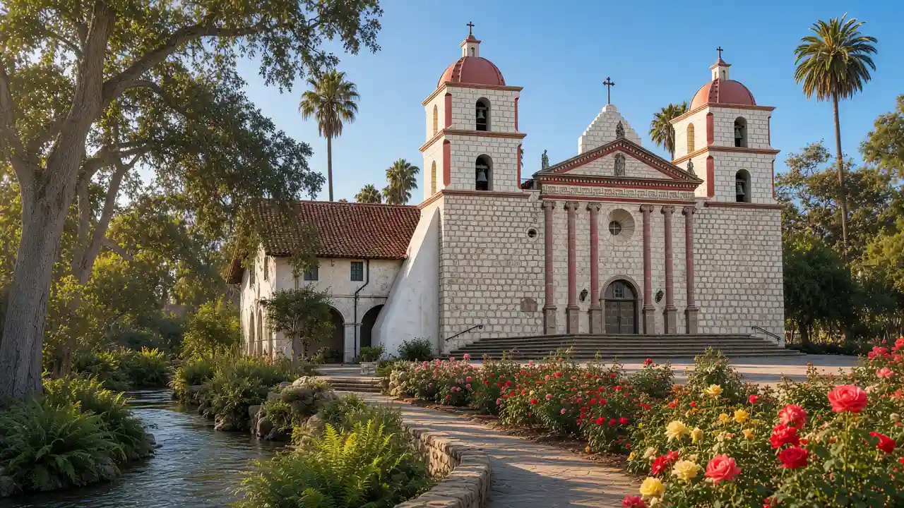
Santa Barbara County Courthouse: Working 1929 courthouse with a clock tower, arcades and a painted mural room
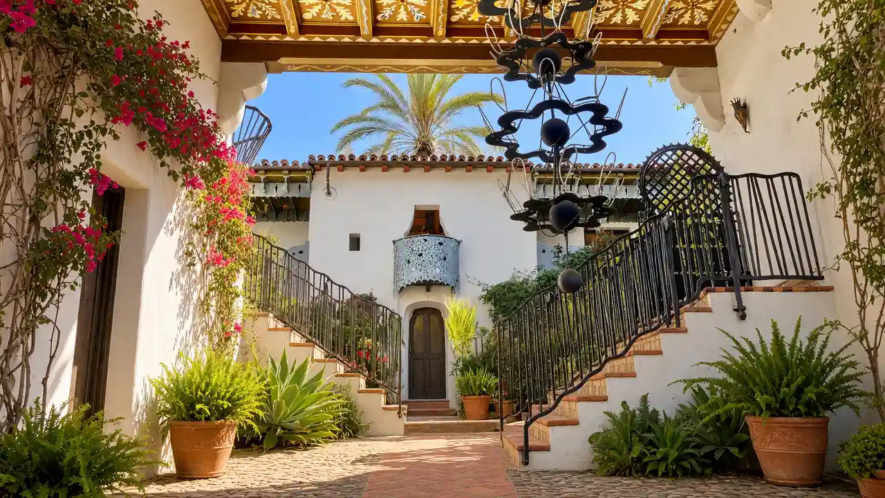
La Arcada Courtyard: Spanish-style arcades, a narrow passage and bronze figures beside State Street
Lobero Theatre → El Presidio de Santa Bárbara
Allow separate time for the art museum and courthouse tower; check galleries and tower access before walking
Lobero Theatre: Historic theatre founded as an opera venue in 1873
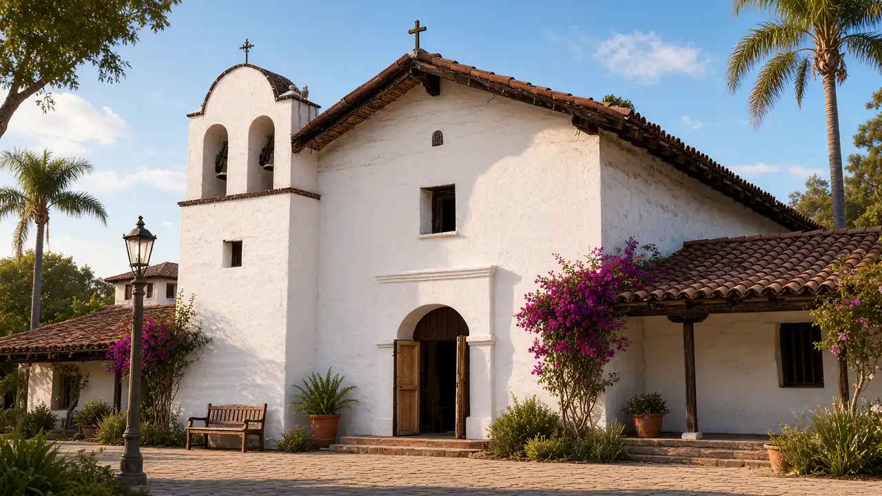
El Presidio de Santa Bárbara: Historic park on the site of an eighteenth-century Spanish military settlement
Santa Barbara Historical Museum → Santa Barbara City Hall
At the presidio, distinguish surviving buildings from reconstructions; continue via the Historical Museum and Casa de la Guerra to finish at City Hall on De la Guerra Plaza
Santa Barbara Historical Museum: Regional history, collections and courtyards in the Pueblo Viejo district
Santa Barbara City Hall: Arcaded city hall on historic De la Guerra Plaza
Map and stops
The numbered markers match the stops below. A marker does not guarantee an open entrance
Access: Approach or exterior view; admission to the interior is not confirmed
Santa Barbara County Courthouse
Working 1929 courthouse with a clock tower, arcades and a painted mural room
View from the street; check interior access separately
Show on the city map ↗Santa Barbara Central Library
Historic library between the courthouse and the art museum
View from the street; check interior access separately
Show on the city map ↗Santa Barbara Museum of Art
Museum in a former post office, with Asian, American and European art
Check admission with the museum; add indoor visiting time to the walk
Show on the city map ↗La Arcada Courtyard
Spanish-style arcades, a narrow passage and bronze figures beside State Street
View from the street; check interior access separately
Show on the city map ↗Lobero Theatre
Historic theatre founded as an opera venue in 1873
View from the street; check interior access separately
Show on the city map ↗Anacapa Street Post Office
1930s post office combining Spanish motifs with Art Deco
View from the street; check interior access separately
Show on the city map ↗El Cuartel
Surviving adobe home of a soldier from the Spanish presidio
View from the street; check interior access separately
Show on the city map ↗El Presidio de Santa Bárbara
Historic park on the site of an eighteenth-century Spanish military settlement
View from the street; check interior access separately
Show on the city map ↗Santa Barbara Historical Museum
Regional history, collections and courtyards in the Pueblo Viejo district
Check admission with the museum; add indoor visiting time to the walk
Show on the city map ↗Casa de la Guerra
Adobe home of the presidio commander, built between 1818 and 1828
View from the street; check interior access separately
Show on the city map ↗De la Guerra Plaza
Civic square beside City Hall and the de la Guerra family home
View from the street; check interior access separately
Show on the city map ↗Santa Barbara City Hall
Arcaded city hall on historic De la Guerra Plaza
View from the street; check interior access separately
Show on the city map ↗
Before the walk
- Check courthouse tower access before walking
- Treat El Presidio museum interiors separately from surrounding streets
- The route is not confirmed step-free; use open streets around closed sites
Check hours, tickets and access with each venue. Barriers may change the track and queues may add time. Accessibility has not been surveyed on site
Questions before the walk
Does the walk include admission to interiors?
The map links exterior viewpoints and approaches; museum visits, religious services and private buildings follow separate access rules
Is the courthouse tower climb required?
No — the route links façades and plazas; the tower climb is a separate visit
Sources and verification
Written by walkymap from remotely checked sources. No on-site walk is claimed
sbcourthouse.org — sbcourthouse.org ·
santabarbaraca.com — santabarbaraca.com ·
sbhistorical.org — sbhistorical.org ·
santabarbaraca.gov — santabarbaraca.gov ·
© OpenStreetMap contributors · ODbL. Track geometry and distance are from the route dataset
Elevation estimate: Mapterhorn. Terrain model; stairs and small changes in level may be missed