Telfair Academy → Telfair Square
Begin in the western downtown area; railway workshops and the city-history museum need separate visits
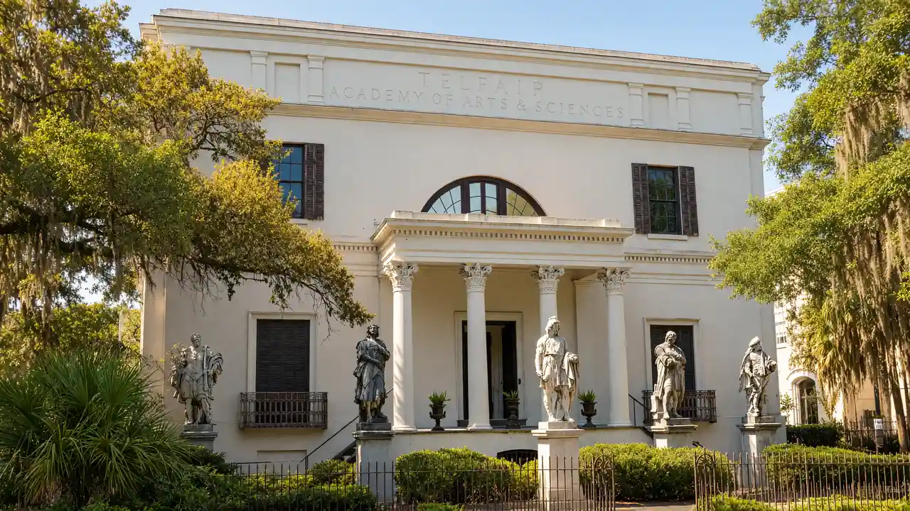
Telfair Academy: Art museum inside a neoclassical mansion
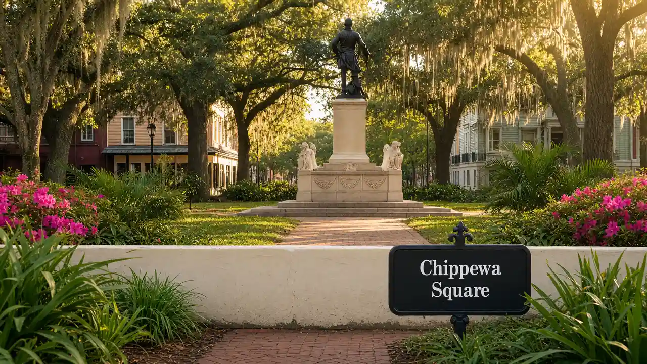
Telfair Square: Green square between the historic academy and Jepson Center
Jepson Center → SCAD Museum of Art
Separate museum interiors from the walk between buildings; choosing one large exhibition leaves time for other stops
Jepson Center: Contemporary museum building by Moshe Safdie beside Telfair Square
SCAD Museum of Art: Contemporary art museum in a former railway complex
Savannah History Museum → Georgia State Railroad Museum
Finish at the Georgia State Railroad Museum via Battlefield Memorial Park; use streets around closed gates instead of seeking passages through museum yards
Savannah History Museum: City history in a former passenger station
Georgia State Railroad Museum: Historic railway workshops and rolling stock
Map and stops
The numbered markers match the stops below. A marker does not guarantee an open entrance
Access: Approach or exterior view; admission to the interior is not confirmed
Telfair Academy
Art museum inside a neoclassical mansion
Check admission with the museum; add indoor visiting time to the walk
Show on the city map ↗Telfair Square
Green square between the historic academy and Jepson Center
Use open paths; account for weather and closed sections
Show on the city map ↗Jepson Center
Contemporary museum building by Moshe Safdie beside Telfair Square
Check admission with the museum; add indoor visiting time to the walk
Show on the city map ↗SCAD Museum of Art
Contemporary art museum in a former railway complex
Check admission with the museum; add indoor visiting time to the walk
Show on the city map ↗Savannah History Museum
City history in a former passenger station
Check admission with the museum; add indoor visiting time to the walk
Show on the city map ↗Battlefield Memorial Park
Memorial grounds at the site of the Siege of Savannah
View from the street; check interior access separately
Show on the city map ↗Georgia State Railroad Museum
Historic railway workshops and rolling stock
Check admission with the museum; add indoor visiting time to the walk
Show on the city map ↗
Before the walk
- Choose one or two museums to enter and keep the others as exterior stops
- Check the railroad museum schedule before setting out
- The route is not confirmed step-free; use open streets around closed sites
Check hours, tickets and access with each venue. Barriers may change the track and queues may add time. Accessibility has not been surveyed on site
Questions before the walk
Does the walk include admission to interiors?
The map links exterior viewpoints and approaches; museum visits, religious services and private buildings follow separate access rules
Can all the museums be visited during one walk?
The route links entrances; add museum visiting time separately
Sources and verification
Written by walkymap from remotely checked sources. No on-site walk is claimed
chsgeorgia.org — chsgeorgia.org ·
chsgeorgia.org — chsgeorgia.org ·
© OpenStreetMap contributors · ODbL. Track geometry and distance are from the route dataset
Elevation estimate: Mapterhorn. Terrain model; stairs and small changes in level may be missed