Read the town as a wider picture
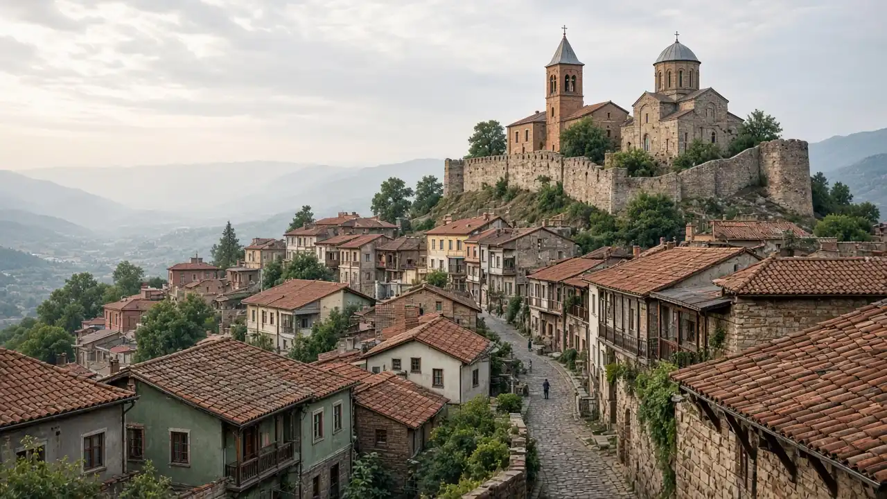
The viewpoint shows the nearest hillside, clustered buildings and distant landscape. A recognisable roof or building can be compared with its closer view later in the centre
Do not build the entire plan around perfect long-distance visibility. Cloud, mist or haze may hide the horizon while the roofs and arrangement of buildings remain worth studying. If the broad panorama disappoints, focus on closer details from a suitable pedestrian space
Move from panorama to street scale
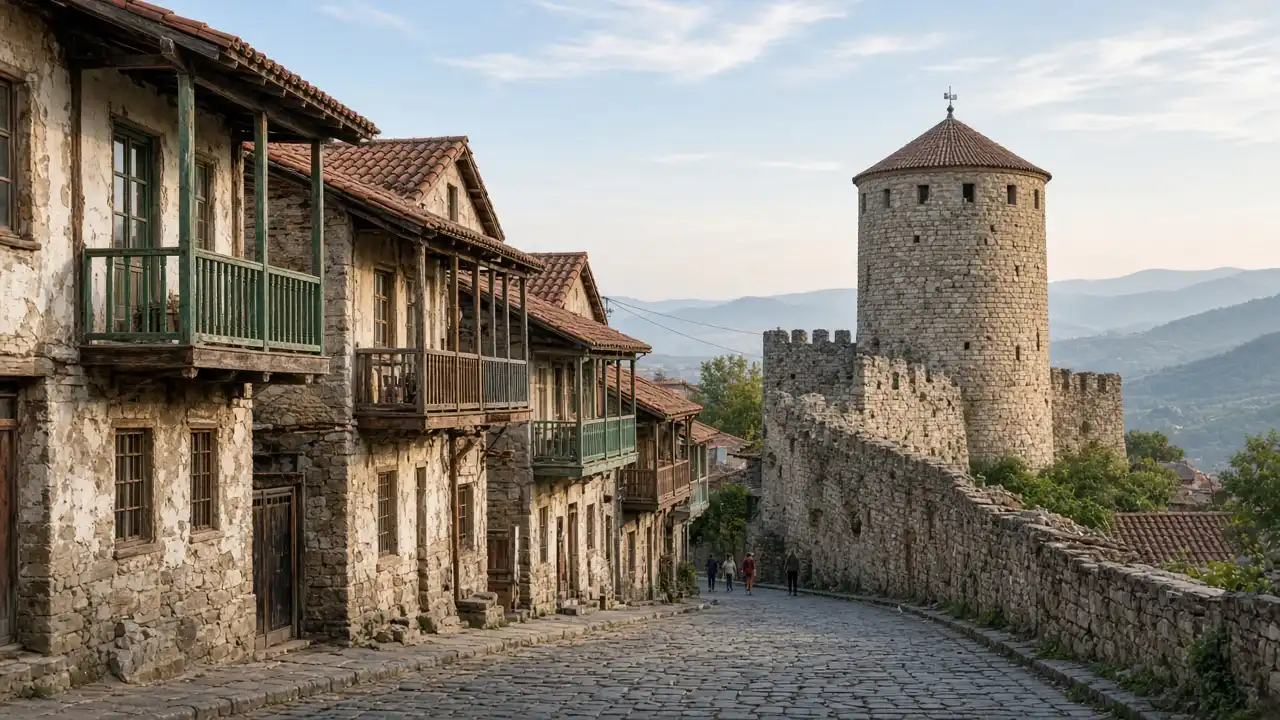
The approach towards the Sarajishvili monument and Saint Tamar Church gradually changes the scale. Instead of constantly searching for another viewpoint, notice windows, boundaries and street directions. This outing suits anyone interested in the small town between familiar visitor photographs
The town hall and museum square contrast with the narrower approach streets. A museum visit can extend this stop. The Pirosmani collection requires a check of visiting conditions before adjusting the rest of the day
Assess gradients before setting out
The route includes noticeable slopes and stretches without a broad pavement. Photographs need safe standing space without forcing other pedestrians into traffic
The route begins at the viewpoint and ends at the museum; it is not a loop. Belongings or transport left near the start require a return allowance. A short visit may suit one unhurried route better than additional fortress towers
Map and stops
The numbered markers match the stops below. A marker does not guarantee an open entrance
Access: Approach or exterior view; admission to the interior is not confirmed
Southern Sighnaghi panorama
A mapped viewpoint south of the historic centre
Stay on firm ground and avoid approaching the slope edge for a photograph
Show on the city map ↗Vano Sarajishvili Monument
A town monument to opera singer Vano Sarajishvili
This is the monument; the singer’s museum is a separate location
Show on the city map ↗St Tamar’s Church
A town church dedicated to St Tamar in the southern centre
Keep quiet during services and check whether visitors may enter
Show on the city map ↗Sighnaghi City Hall
The town administration building beside Aghmashenebeli Square
This stop is for viewing the exterior from the square
Show on the city map ↗Sighnaghi Museum
A history and ethnography museum displaying works by Niko Pirosmani
Allow separate time for the museum galleries
Show on the city map ↗
Before the walk
- The approach to the starting viewpoint needs a separate check before departure
- Photograph the town only from a position that does not obstruct road users
- Leave flexible time at the finish for the square or a chosen museum visit
Check hours, tickets and access with each venue. Barriers may change the track and queues may add time. Accessibility has not been surveyed on site
Questions before the walk
Is this the walking route to Bodbe?
No. The southern panorama is a town viewpoint. Bodbe Monastery requires separate journey planning
Is this an alternative to climbing the walls?
There is no required wall climb. Urban gradients and narrow pavements remain; this is not a verified step-free route
Sources and verification
Written by walkymap from remotely checked sources. No on-site walk is claimed
Georgian National Tourism Administration — Sighnaghi ·
Georgian National Tourism Administration — Sighnaghi Museum ·
© OpenStreetMap contributors · ODbL. Track geometry and distance are from the route dataset
Elevation estimate: Mapterhorn. Terrain model; stairs and small changes in level may be missed