Two approaches to monumental architecture
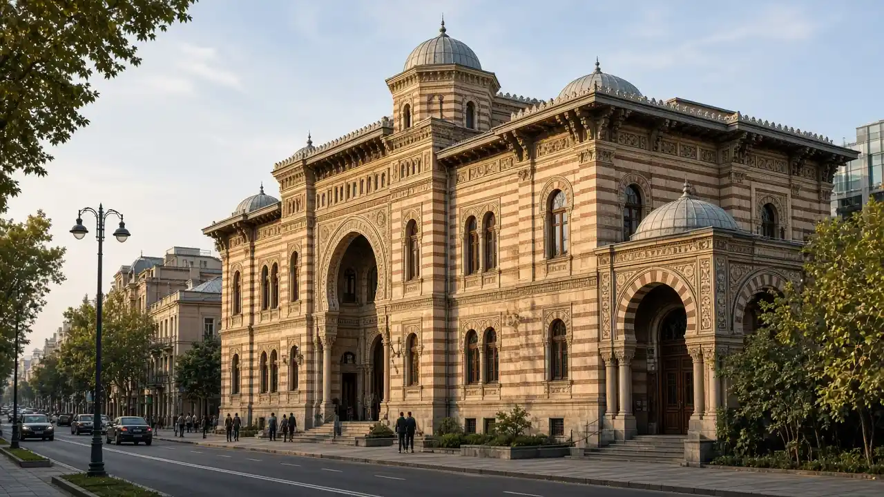
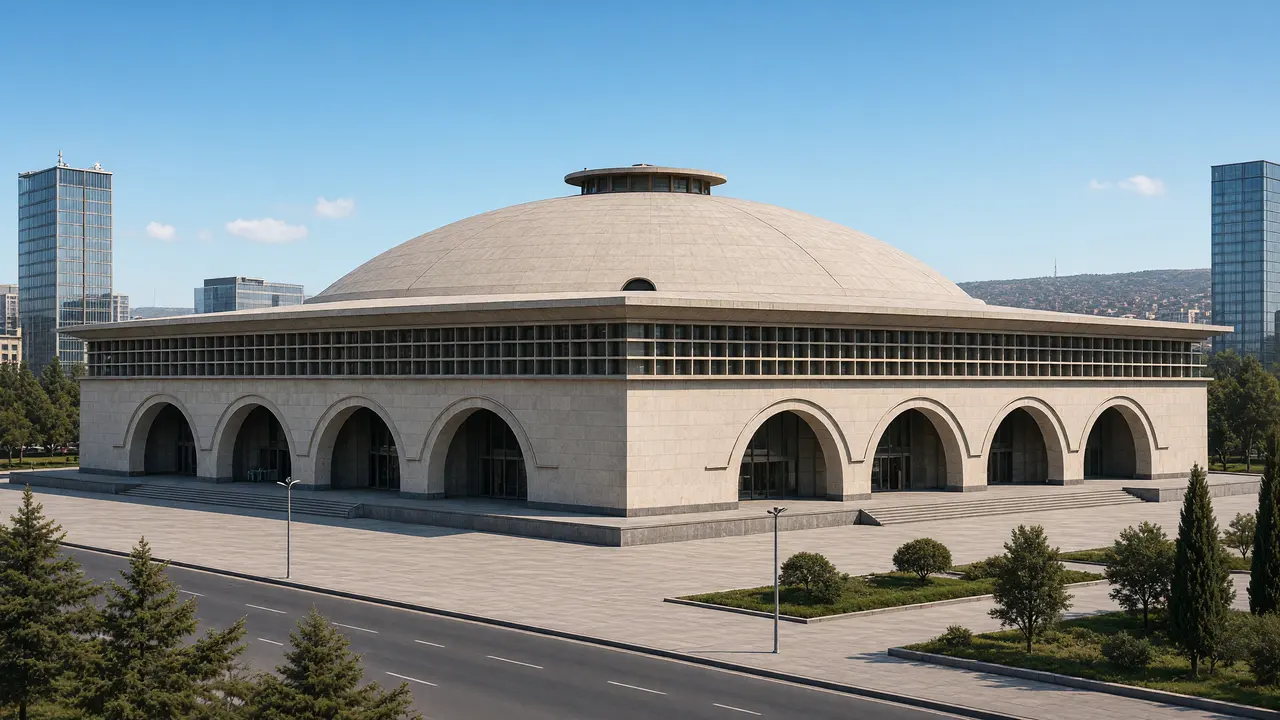
The Technical University’s first building uses symmetry, a large entrance and classical façade rhythm. Compare the proportions and street frontage of neighbouring buildings. The Sports Palace then shifts attention to structure: its shallow dome and repeated arches create a very different silhouette
Why walk around the palace
The Tbilisi Architecture Archive dates completion to 1961 and describes the prefabricated reinforced-concrete dome. View the overall volume from the square and the arched façades from a side approach. Modern surrounding buildings affect the ensemble, so an illustration does not promise an unobstructed view from every side
Stops in route order
Technical University, Building 1 — Monumental university façade on Kostava Street contrasting with the Sports Palace dome. Entry to the teaching building is not part of the route
Technical University, Building 7 — Another substantial building of the university ensemble on Kostava Street. Compare neighbouring buildings’ proportions from the public pavement
Tbilisi Sports Palace — Sports palace completed in 1961 with a shallow reinforced-concrete dome and arched façades. View from the square; events may alter access to the façades
Adjara Hotel — Holiday Inn — The former Adjara Hotel, now Holiday Inn, is a high-rise landmark of 26 May Square and Soviet-era Saburtalo. Compare its silhouette with the nearby Sports Palace and view it from the square and pavements
Tbilisi Circus — A monumental circular circus building above Heroes Square. A show requires a separate check of the current programme
Queen Tamar Bridge — Soviet-period stone bridge arches link the right bank with the station district. Use the pavement without descending to the riverside traffic lanes
Access and planning
University buildings, hotel and sports arena are exterior stops. Use crossings at major junctions
End the short version at the Sports Palace; the full walk continues past the circus to Queen Tamar Bridge
Map and stops
The numbered markers match the stops below. A marker does not guarantee an open entrance
Access: Approach or exterior view; admission to the interior is not confirmed
Technical University, Building 1
Monumental university façade on Kostava Street contrasting with the Sports Palace dome
Entry to the teaching building is not part of the route
Show on the city map ↗Technical University, Building 7
Another substantial building of the university ensemble on Kostava Street
Compare neighbouring buildings’ proportions from the public pavement
Show on the city map ↗Tbilisi Sports Palace
Sports palace completed in 1961 with a shallow reinforced-concrete dome and arched façades
View from the square; events may alter access to the façades
Show on the city map ↗Adjara Hotel — Holiday Inn
The former Adjara Hotel, now Holiday Inn, is a high-rise landmark of 26 May Square and Soviet-era Saburtalo
Compare its silhouette with the nearby Sports Palace and view it from the square and pavements
Show on the city map ↗Tbilisi Circus
A monumental circular circus building above Heroes Square
A show requires a separate check of the current programme
Show on the city map ↗Queen Tamar Bridge
Soviet-period stone bridge arches link the right bank with the station district
Use the pavement without descending to the riverside traffic lanes
Show on the city map ↗
Before the walk
- Urban gradients and crossings near major junctions
- Walking time excludes visits, transport, queues and long breaks
- Calculated using the OSM pedestrian network; not verified by an on-site walk
- Use only open paths and public approaches; check indoor admission separately
Check hours, tickets and access with each venue. Barriers may change the track and queues may add time. Accessibility has not been surveyed on site
Questions before the walk
How long is this walking route?
The mapped track is 3.7 km, with about 55 minutes of walking at an assumed 4.2 km/h. Reaching the start, visits and breaks are separate
What access arrangements need checking?
University buildings, hotel and sports arena are exterior stops. Use crossings at major junctions
How can this visit be shortened or continued?
End the short version at the Sports Palace; the full walk continues past the circus to Queen Tamar Bridge
Sources and verification
Written by walkymap from remotely checked sources. No on-site walk is claimed
georgia.travel — georgia.travel ·
www.geoair.ge — www.geoair.ge ·
www.openstreetmap.org — www.openstreetmap.org ·
www.openstreetmap.org — www.openstreetmap.org ·
georgia.travel — georgia.travel ·
georgia.travel — georgia.travel ·
www.openstreetmap.org — www.openstreetmap.org ·
© OpenStreetMap contributors · ODbL. Track geometry and distance are from the route dataset
Elevation estimate: Mapterhorn. Terrain model; stairs and small changes in level may be missed