Study the meeting of building and street
In Rinia Park, shift attention from individual attractions to how the spaces between them work. Find somewhere comfortable for a brief pause and look at the park’s edges against the surrounding streets. This introduces a useful question for the Pyramid: beyond an unusual outline, how does a building connect with the activity around it?
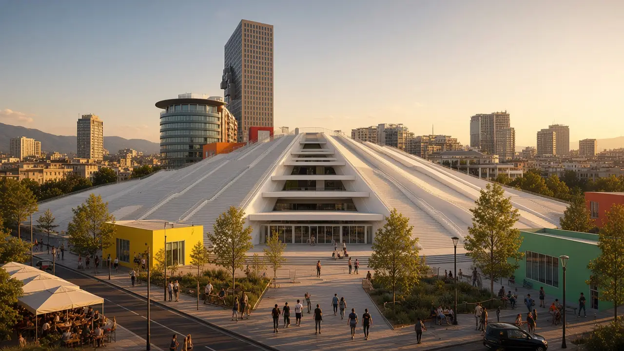
The Pyramid’s transformation reused its concrete structure. MVRDV added colourful volumes and steps along sloping surfaces for educational and public use. Older and newer parts can be compared from ground level. A climb is separate and depends on weather and remaining energy
Give the later stops their own pace
At Postbllok, slow down to read the available information about the memorial before continuing. By the stadium, return to the question of scale: how does a major building feel to someone approaching on an ordinary city street? Exterior sightseeing does not require a sports event, an interior tour or access to every space along the way
Although the route uses streets and a park, road crossings still need attention. Access to stairs, buildings and stadium approaches can depend on local conditions and events. This walk was prepared remotely without an on-site check. If access is restricted, view from permitted public space instead of looking for a shortcut through a service entrance
Map and stops
The numbered markers match the stops below. A marker does not guarantee an open entrance
Access: Approach or exterior view; admission to the interior is not confirmed
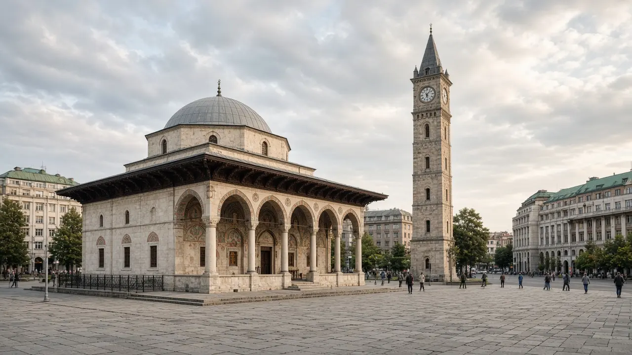
Resurrection of Christ Cathedral
A modern Orthodox cathedral with a large dome near the main square
View the façade from the street; entry depends on the church’s current arrangements
Show on the city map ↗Rinia Park
This central park offers a green break between the main square and the southern centre
Pause along a park path before the open stretch around the Pyramid
Show on the city map ↗Pyramid of Tirana
The reimagined Pyramid has become a space for technology and education
An exterior stop is enough for the route; assess the stairs and accessible areas locally
Show on the city map ↗Postbllok Memorial
This memorial recalls isolation and political imprisonment during the communist period
Pause at the interpretive elements and leave space for other visitors
Show on the city map ↗Arena Kombëtare Stadium
The modern national stadium concludes the walk through the southern centre
This is an exterior stop; routes around the stadium may change on event days
Show on the city map ↗
Before the walk
- Assess the Pyramid stairs on arrival; viewing the structure from below remains a complete architectural stop
- In hot weather, use the park for a rest and carry water for the more open sections
- A major stadium event may affect the approach or return; this needs checking before departure
Check hours, tickets and access with each venue. Barriers may change the track and queues may add time. Accessibility has not been surveyed on site
Questions before the walk
Is a booked tour required to see the Pyramid?
A tour is not a requirement for the planned exterior visit. Check individual rooms, events and any current restrictions on the stairs separately
Does this route go to the large lake?
No. It finishes at the stadium and excludes a lake circuit. Any extension and return need separate planning
Sources and verification
Written by walkymap from remotely checked sources. No on-site walk is claimed
MVRDV — The Pyramid of Tirana ·
Albanian National Tourism Agency — Parku Rinia ·
© OpenStreetMap contributors · ODbL. Track geometry and distance are from the route dataset
Elevation estimate: Mapterhorn. Terrain model; stairs and small changes in level may be missed