The character of the walk
The route first shows the museum ship and church beside the water, then climbs into the old streets. Goto Predestinatsia is a modern reconstruction of a historic vessel, not the surviving original. Viewing the hull from shore and visiting the museum are separate options; check ship tickets independently
Landmarks along the way
Goto Predestinatsia Museum Ship: A reconstructed sailing ship beside the city embankment; Admiralty Square: A square beside the Voronezh Reservoir with rostral columns; Assumption Admiralty Church: A historic church near Admiralty Square
Stone Bridge: A small arched bridge in the old part of the city; Alexey Koltsov Monument: A bust of the poet in Koltsov Square
Map and stops
The numbered markers match the stops below. A marker does not guarantee an open entrance
Access · 1, 3: Approach or exterior view; admission to the interior is not confirmed
Access · 2, 4, 5: Use available pedestrian paths and crossings; account for barriers and surface conditions
Goto Predestinatsia Museum Ship
A reconstructed sailing ship beside the city embankment
View the ship from shore; gangway and exhibition access are separate
Show on the city map ↗Admiralty Square
A square beside the Voronezh Reservoir with rostral columns
Relate the square to the waterfront and museum-ship silhouette
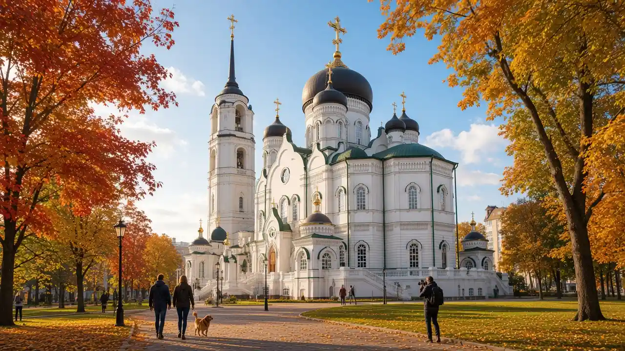
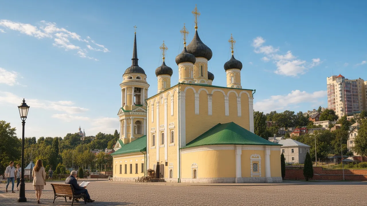
Show on the city map ↗Assumption Admiralty Church
A historic church near Admiralty Square
View the old waterside church separately from the memorial square
Show on the city map ↗Stone Bridge
A small arched bridge in the old part of the city
Compare the small bridge with the slopes of the surrounding old streets
Show on the city map ↗Alexey Koltsov Monument
A bust of the poet in Koltsov Square
Make a literary stop in the garden before the opera square
Show on the city map ↗
Before the walk
- A noticeable climb from the water, stairs and old paving; comfortable footwear helps
- Allow separate time for interiors and follow signs at each entrance
- The line is calculated on the mapped pedestrian network; closures and private passages may change access
- The route first shows the museum ship and church beside the water, then climbs into the old streets. Goto Predestinatsia is a modern reconstruction of a historic vessel, not the surviving original. Viewing the hull from shore and visiting the museum are separate options; check ship tickets independently
Check hours, tickets and access with each venue. Barriers may change the track and queues may add time. Accessibility has not been surveyed on site
Questions before the walk
Where does the walk start and end?
Goto Predestinatsia Museum Ship → Alexey Koltsov Monument
Does walking time include admission and visits?
No. Walking is estimated separately; tickets, exhibitions and opening times need individual checks
Sources and verification
Written by walkymap from remotely checked sources. No on-site walk is claimed
Туристско-информационный центр Воронежа — Корабль-музей Гото Предестинация ·
OpenStreetMap contributors — Goto Predestinatsia Museum Ship ·
Wikipedia contributors — Admiralty Square ·
OpenStreetMap contributors — Assumption Admiralty Church ·
Wikipedia contributors — Stone Bridge ·
OpenStreetMap contributors — Alexey Koltsov Monument ·
© OpenStreetMap contributors · ODbL. Track geometry and distance are from the route dataset
Elevation estimate: Mapterhorn. Terrain model; stairs and small changes in level may be missed