Approach through Widcombe
Begin at Bath Deep Lock and continue to St Thomas Becket Church
Follow the mapped approach towards Prior Park
The garden has upper and lower entrances: confirm the operating entrance and compare it with the final approach before setting off
Enter the landscape garden
Garden entry is separate from the street walk
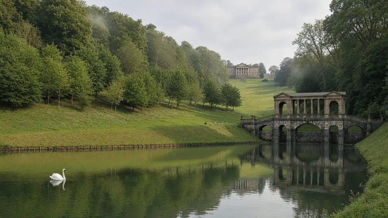
Inside, allow time for the Palladian Bridge and steep paths; the site is not a level park
The college buildings are a different property and not part of National Trust admission
Map and stops
The numbered markers match the stops below. A marker does not guarantee an open entrance
Access · 1, 2: Approach or exterior view; admission to the interior is not confirmed
Bath Deep Lock
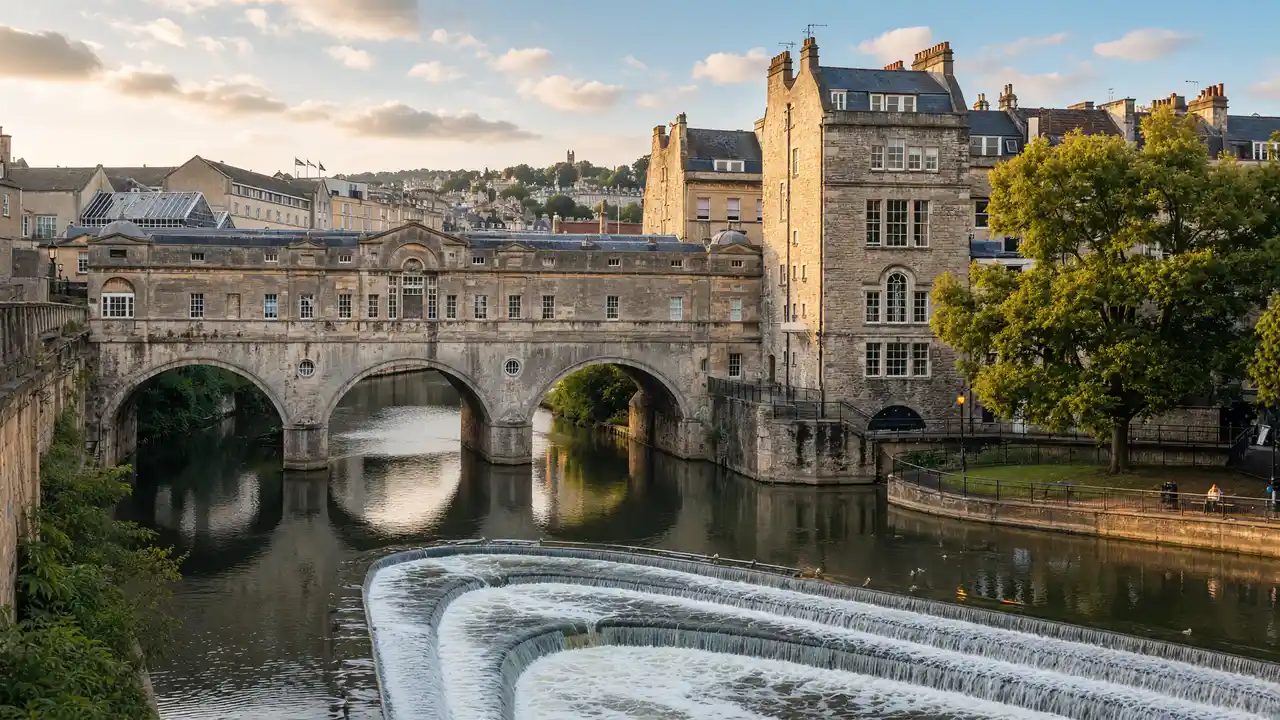
Deep navigation lock on the Kennet and Avon Canal
View from the permitted approach; interiors may require a ticket
Show on the city map ↗St Thomas à Becket Church
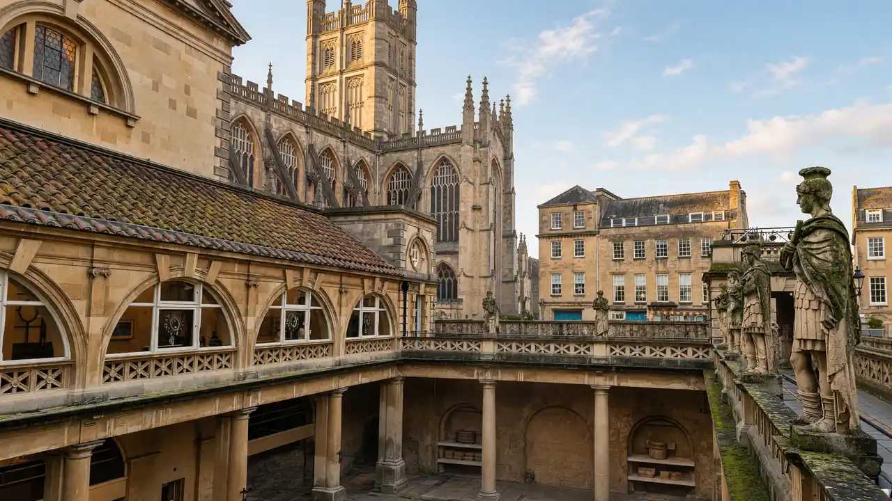
Historic Widcombe church below a green hillside
Check the open entrance and service times; remain quiet inside
Show on the city map ↗Prior Park Landscape Garden
Hillside landscape garden with a Palladian bridge
Check opening of the lower Church Lane entrance; the garden is ticketed and an interior walk needs extra time
Show on the city map ↗
Before the walk
- Check the garden’s opening days and current entrance information
- The National Trust describes very steep paths, generally unsuitable for wheelchairs
- The route ends at the approach to a ticketed garden; garden admission is separate
Check hours, tickets and access with each venue. Barriers may change the track and queues may add time. Accessibility has not been surveyed on site
Questions before the walk
Does the map include a complete walk inside Prior Park?
No, it links the approach stops; use the garden’s own current map and signs for the visit inside
Does the garden ticket include the college?
No, the college buildings are a separate property outside National Trust admission
Sources and verification
Written by walkymap from remotely checked sources. No on-site walk is claimed
National Trust — Prior Park visitor information ·
Historic England — Prior Park registered landscape ·
© OpenStreetMap contributors · ODbL. Track geometry and distance are from the route dataset
Elevation estimate: Mapterhorn. Terrain model; stairs and small changes in level may be missed