First walk
Buenos Aires: Plaza de Mayo and the streets of San Telmo
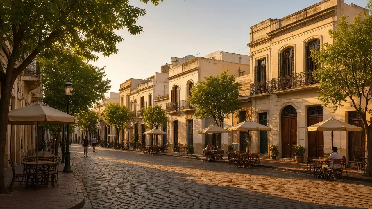
The cathedral, Cabildo and Casa Rosada, followed by San Telmo Market and Plaza Dorrego. Stops, walking map, terrain and GPX for an independent walk
Plaza de Mayo, San Telmo and Recoleta. 9 walks, 34 places. Area guides and walking routes
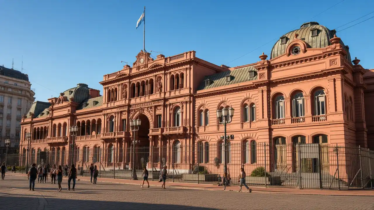
The cathedral, Cabildo and Casa Rosada, followed by San Telmo Market and Plaza Dorrego. Stops, walking map, terrain and GPX for an independent walk
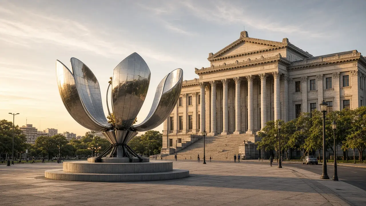
The Water Palace, El Ateneo bookshop, the cultural centre, fine-arts museum and Floralis. Stops, walking map, terrain and GPX for an independent walk
The cathedral, Cabildo and Casa Rosada, followed by San Telmo Market and Plaza Dorrego
The Water Palace, El Ateneo bookshop, the cultural centre, fine-arts museum and Floralis
The main stops from the first themed central walks; additional districts are covered by separate routes
Teatro Colón, the Obelisk, Palacio Barolo and the view toward Congress
Shopping palaces, a former post office, a footbridge and a sailing frigate
A Jesuit block, a house with supporting figures, market streets and a converted factory
Mariano Moreno National Library → Museo Nacional de Bellas Artes (Buenos Aires) → Recoleta Cemetery → Recoleta Cultural Centre
Carlos Thays Botanical Garden → Palermo Rose Garden → Galileo Galilei Planetarium → Buenos Aires Japanese Gardens → MALBA
Caminito → Fundación Proa → Benito Quinquela Martín Museum
Sources: tourism organisations, museums and heritage sites. Distance follows the walking track; time and elevation are estimates. Sources are checked remotely; an on-site walk has not been confirmed