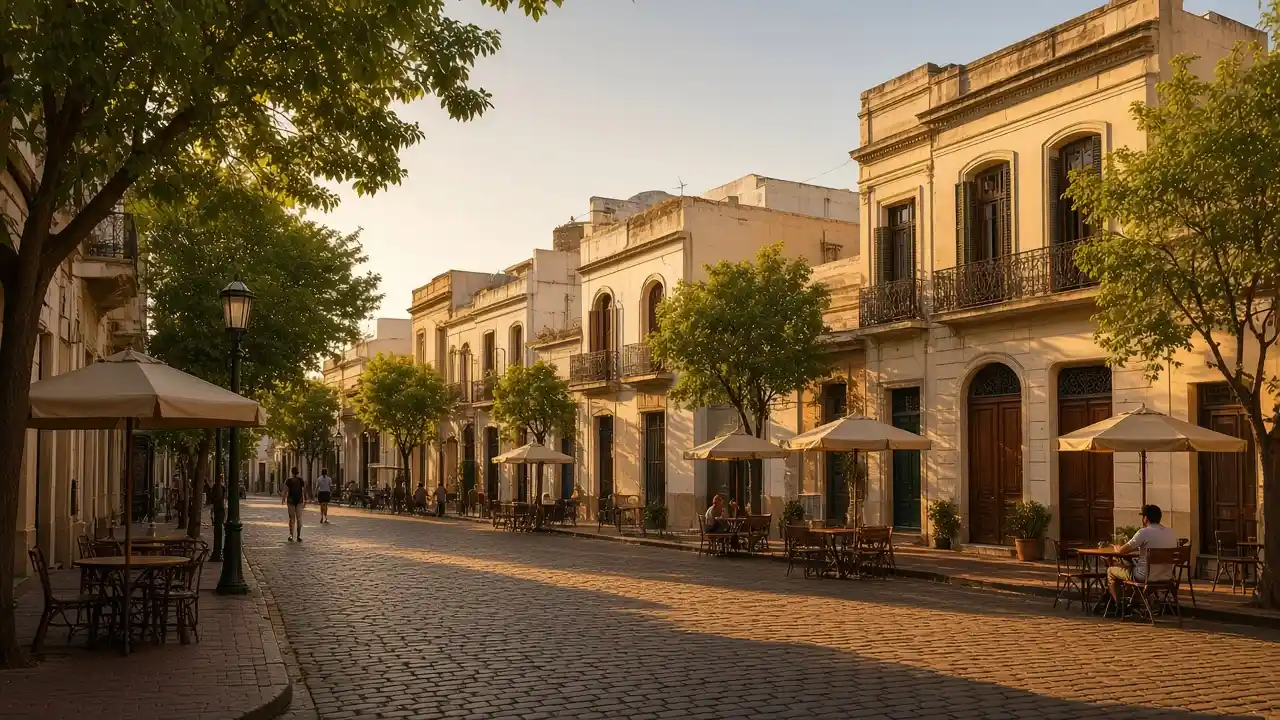
The character of the walk
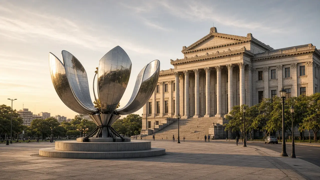
Buildings change purpose along this walk: a reservoir hides behind a decorative facade, while books occupy a former theatre. Recoleta’s cultural buildings continue the theme of urban interiors, but visits require separate time. Floralis ends the walk beside park space; movement of its petals is not guaranteed
Landmarks along the way
Palacio de Aguas Corrientes: a former water reservoir with an ornate ceramic exterior; El Ateneo Grand Splendid: a bookshop in a former theatre; Recoleta Cultural Centre: a cultural complex in a former convent building
Museo Nacional de Bellas Artes (Buenos Aires): an art museum beside Recoleta’s park spaces; Floralis Genérica: a large metal flower sculpture beside the Faculty of Law
Map and stops
The numbered markers match the stops below. A marker does not guarantee an open entrance
Access · 1, 2, 3, 4: Approach or exterior view; admission to the interior is not confirmed
Palacio de Aguas Corrientes
A former water reservoir with an ornate ceramic exterior
Study the building’s ceramic surface from the opposite pavement
Show on the city map ↗El Ateneo Grand Splendid
A bookshop in a former theatre
If entry is open, compare the former theatre tiers with the bookshop layout
Show on the city map ↗Recoleta Cultural Centre
A cultural complex in a former convent building
Check which exhibition rooms and courtyards are open
Show on the city map ↗Museo Nacional de Bellas Artes (Buenos Aires)
An art museum beside Recoleta’s park spaces
Check the intended exhibition and separate the museum from the Recoleta walk
Show on the city map ↗Floralis Genérica
A large metal flower sculpture beside the Faculty of Law
View the metal flower from park paths; petal movement is not guaranteed
Outdoor stop; check access to the path on site
Show on the city map ↗
Before the walk
- Urban pavements, large intersections and park paths
- Allow separate time for interiors and follow signs at each entrance
- The line is calculated on the mapped pedestrian network; closures and private passages may change access
- Buildings change purpose along this walk: a reservoir hides behind a decorative facade, while books occupy a former theatre. Recoleta’s cultural buildings continue the theme of urban interiors, but visits require separate time. Floralis ends the walk beside park space; movement of its petals is not guaranteed
Check hours, tickets and access with each venue. Barriers may change the track and queues may add time. Accessibility has not been surveyed on site
Questions before the walk
Where does the walk start and end?
Palacio de Aguas Corrientes → Floralis Genérica
Does walking time include admission and visits?
No. Walking is estimated separately; tickets, exhibitions and opening times need individual checks
Sources and verification
Written by walkymap from remotely checked sources. No on-site walk is claimed
Buenos Aires Tourism — Buenos Aires in 24 hours ·
Wikipedia contributors — Palacio de Aguas Corrientes ·
Wikipedia contributors — El Ateneo Grand Splendid ·
OpenStreetMap contributors — Recoleta Cultural Centre ·
Wikipedia contributors — Museo Nacional de Bellas Artes (Buenos Aires) ·
Wikipedia contributors — Floralis Genérica ·
© OpenStreetMap contributors · ODbL. Track geometry and distance are from the route dataset
Elevation estimate: Mapterhorn. Terrain model; stairs and small changes in level may be missed