The character of the walk
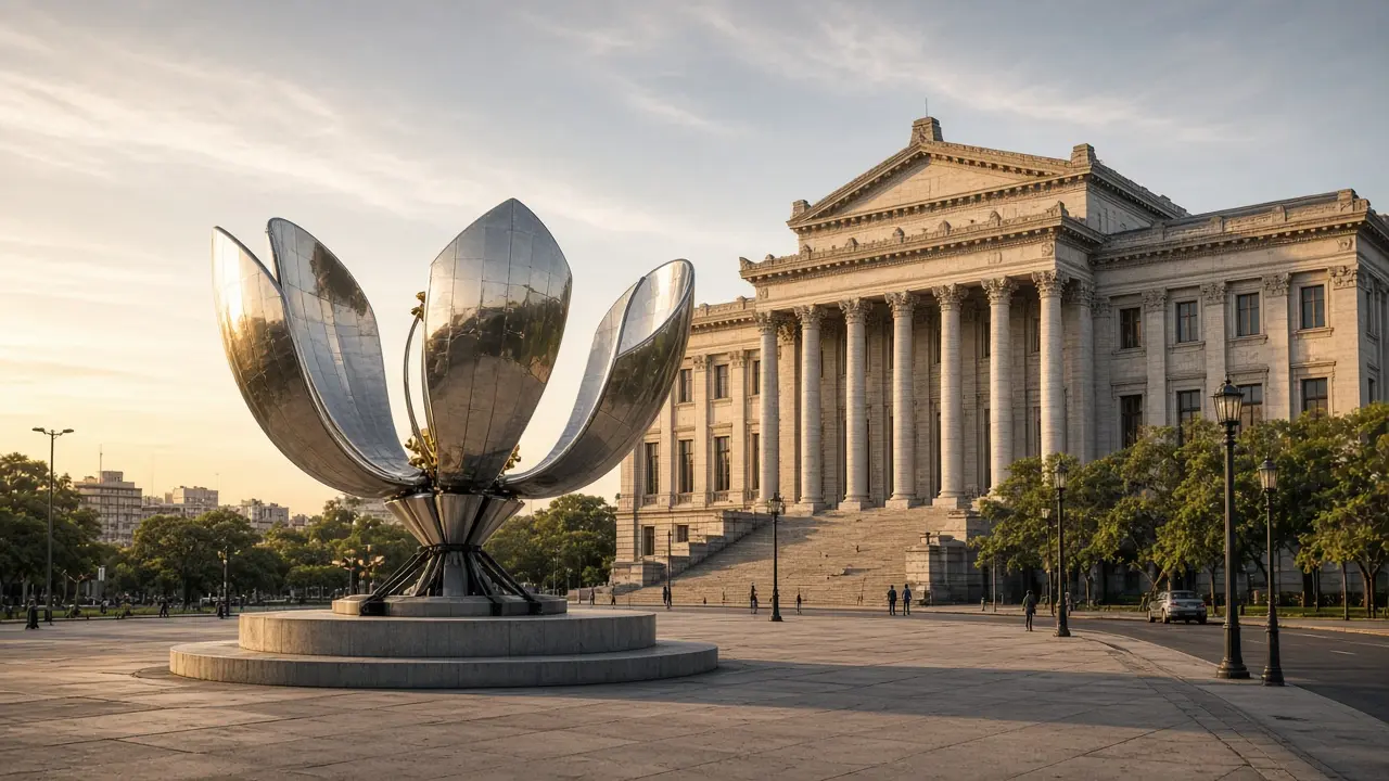
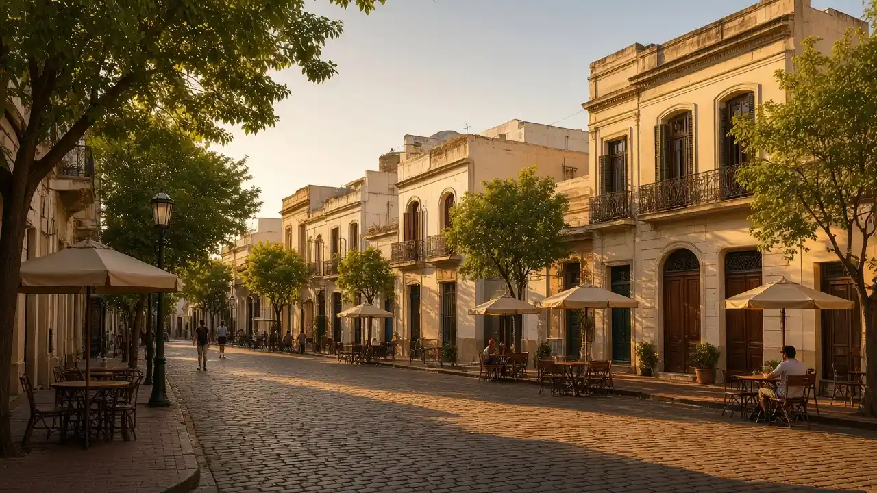
The large civic square gives way to San Telmo’s smaller-scale buildings. Plaza de Mayo allows a comparison of the cathedral’s columned portico, Cabildo’s arcades and the palace’s pink facade. The walk then focuses on streets and the market. Fairs and street performances depend on the day and are not promised as permanent stops
Landmarks along the way
Buenos Aires Metropolitan Cathedral: a cathedral with a columned portico beside Plaza de Mayo; Buenos Aires Cabildo: the former colonial town hall with arcades; Casa Rosada: the pink government palace on Plaza de Mayo
San Telmo Market: a covered market with metal structures and trading stalls; Plaza Dorrego: a cobbled square among San Telmo’s historic facades
Map and stops
The numbered markers match the stops below. A marker does not guarantee an open entrance
Access · 1, 2, 3, 4: Approach or exterior view; admission to the interior is not confirmed
Buenos Aires Metropolitan Cathedral
A cathedral with a columned portico beside Plaza de Mayo
Study the classical portico and check entry during services
Show on the city map ↗Buenos Aires Cabildo
The former colonial town hall with arcades
Compare the colonial arcade with the square’s later buildings
Show on the city map ↗Casa Rosada
The pink government palace on Plaza de Mayo
View the pink façade from the square and allow for active barriers
Show on the city map ↗San Telmo Market
A covered market with metal structures and trading stalls
Separate the market-building visit from eating at a particular stall
Show on the city map ↗Plaza Dorrego
A cobbled square among San Telmo’s historic facades
Pause on the square while keeping passages between cafés and stalls clear
Outdoor stop; check access to the path on site
Show on the city map ↗
Before the walk
- Urban pavements, broad crossings and San Telmo paving
- Allow separate time for interiors and follow signs at each entrance
- The line is calculated on the mapped pedestrian network; closures and private passages may change access
- The large civic square gives way to San Telmo’s smaller-scale buildings. Plaza de Mayo allows a comparison of the cathedral’s columned portico, Cabildo’s arcades and the palace’s pink facade. The walk then focuses on streets and the market. Fairs and street performances depend on the day and are not promised as permanent stops
Check hours, tickets and access with each venue. Barriers may change the track and queues may add time. Accessibility has not been surveyed on site
Questions before the walk
Where does the walk start and end?
Buenos Aires Metropolitan Cathedral → Plaza Dorrego
Does walking time include admission and visits?
No. Walking is estimated separately; tickets, exhibitions and opening times need individual checks
Sources and verification
Written by walkymap from remotely checked sources. No on-site walk is claimed
Buenos Aires Tourism — Buenos Aires in 24 hours ·
Wikipedia contributors — Buenos Aires Metropolitan Cathedral ·
Wikipedia contributors — Buenos Aires Cabildo ·
Wikipedia contributors — Casa Rosada ·
OpenStreetMap contributors — San Telmo Market ·
Wikipedia contributors — Plaza Dorrego ·
© OpenStreetMap contributors · ODbL. Track geometry and distance are from the route dataset
Elevation estimate: Mapterhorn. Terrain model; stairs and small changes in level may be missed