Choose the main museum
Begin at the Old Slave Mart Museum and pass the Old Exchange before continuing to the International African American Museum
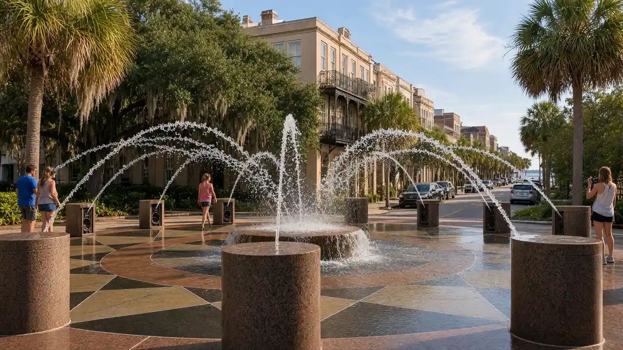
The IAAM stands at Gadsden’s Wharf, where its memorial garden provides a place for reflection
Choose one main museum visit rather than fitting both into the walking-time estimate
Continue north
From Liberty Square, follow the route to Emanuel AME Church and Aiken–Rhett House
Treat the church as a living place of worship and remembrance
For a shorter day, finish at the IAAM; the church and house remain outside that section
Map and stops
The numbered markers match the stops below. A marker does not guarantee an open entrance
Access: Approach or exterior view; admission to the interior is not confirmed
Old Slave Mart Museum
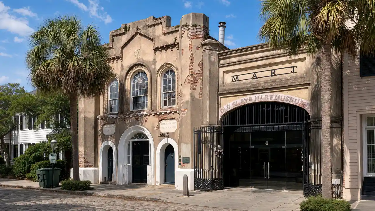
Museum of the domestic slave trade in a former auction building
Check admission with the museum; add indoor visiting time to the walk
Show on the city map ↗Old Exchange & Provost Dungeon
Colonial public building with museum displays
View from the street; check interior access separately
Show on the city map ↗International African American Museum
African American history museum at the former Gadsden’s Wharf
Check admission with the museum; add indoor visiting time to the walk
Show on the city map ↗Liberty Square
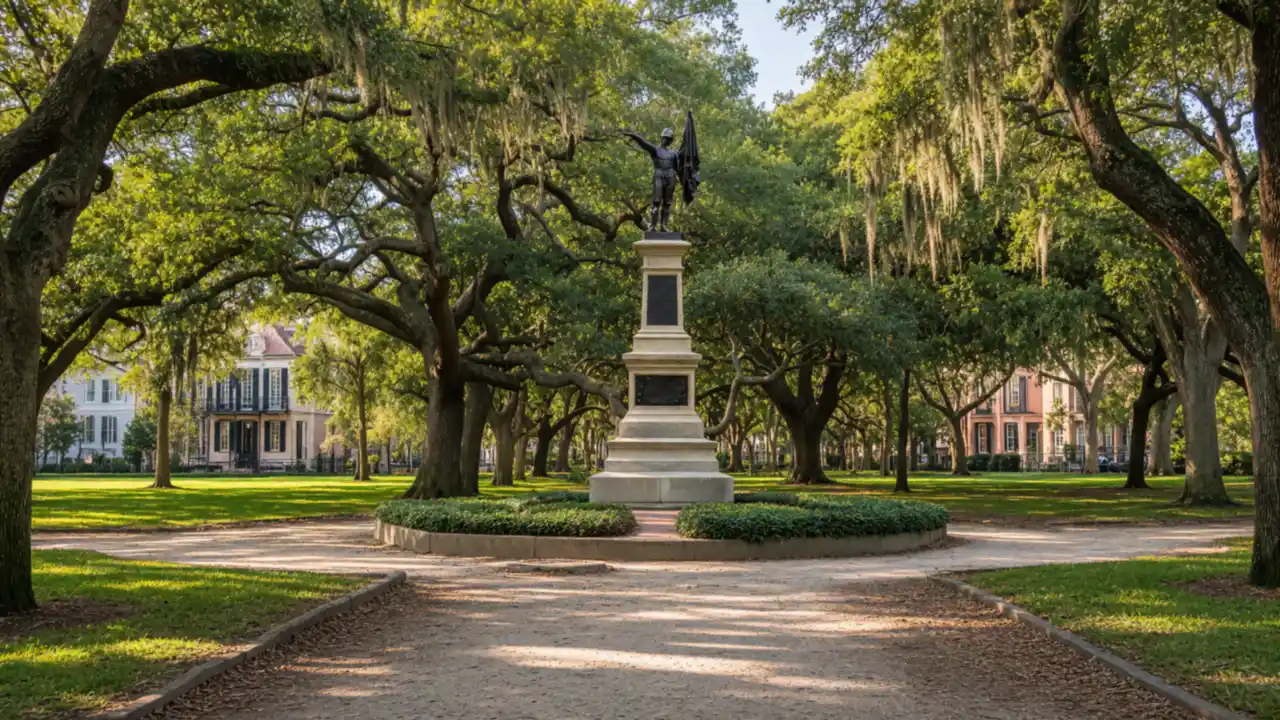
National park waterfront site and departure point for Fort Sumter
View from the street; check interior access separately
Show on the city map ↗Emanuel AME Church
Historic African American church and place of remembrance
Check visiting times; avoid disturbing services and worshippers
Show on the city map ↗Aiken-Rhett House
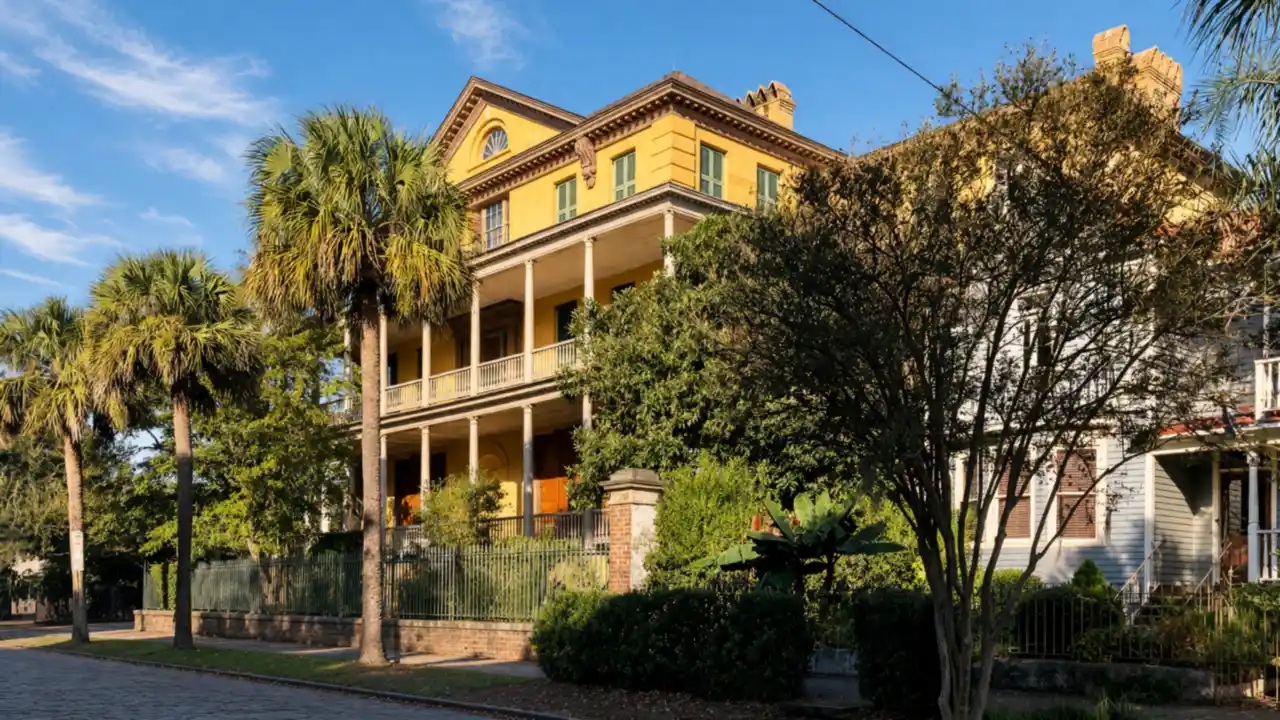
Preserved townhouse with service buildings and enslaved people’s quarters
Check admission with the museum; add indoor visiting time to the walk
Show on the city map ↗
Before the walk
- Check museum tickets and entry arrangements separately
- Allow quiet time at memorial sites
- The route is not confirmed step-free; use open streets around closed sites
Check hours, tickets and access with each venue. Barriers may change the track and queues may add time. Accessibility has not been surveyed on site
Questions before the walk
Is the memorial garden the same as the museum galleries?
No, the garden is a publicly accessible memorial space; the indoor galleries are a separate museum visit
Is Emanuel AME a museum stop?
No, it is an active church and a place of remembrance; respect services and any access restrictions
Sources and verification
Written by walkymap from remotely checked sources. No on-site walk is claimed
International African American Museum — International African American Museum ·
City of Charleston — Old Slave Mart Museum ·
© OpenStreetMap contributors · ODbL. Track geometry and distance are from the route dataset
Elevation estimate: Mapterhorn. Terrain model; stairs and small changes in level may be missed