Read the city from river level
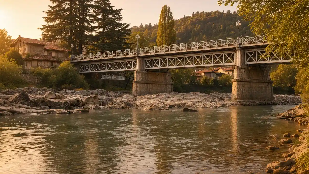
Red Bridge and Chain Bridge are viewpoints as well as connections. Their banks and buildings can be compared. The river’s direction and recognisable structures help explain the later panorama
Follow the selected urban approaches between the bridges. A visible riverbank does not establish a continuous riverside path. Pause for photographs where others can still pass, paying particular attention to crossings beside roads and any narrow stretches of pavement
Make the climb part of the experience
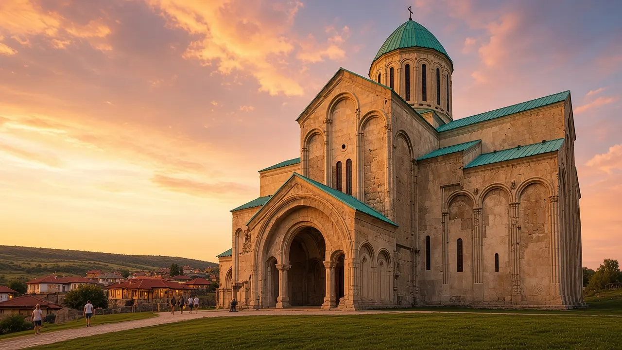
Bagrati stands on Ukimerioni Hill. Suitable pauses on the climb offer changing river views and perspectives between houses. Steps and slopes need an energy allowance even on a compact route
At the cathedral, the large building contrasts with the smaller streets below. City views and exterior architecture are both visible. Indoor entry depends on actual conditions. Local rules and the religious setting need respect
The garden starts after the finish
The walking line ends outside the Botanical Garden gate. Reaching this point is not the same as exploring its plant collection, and it does not establish that the gates are open. Add the garden only after checking the visiting arrangements
A garden visit needs extra time and energy for its paths and the eventual return. If entry is unavailable, the walk can finish at the gate. An alternative passage through a fence is not required. Onward navigation can follow city streets
Map and stops
The numbered markers match the stops below. A marker does not guarantee an open entrance
Access: Approach or exterior view; admission to the interior is not confirmed
Red Bridge
One of Kutaisi’s historic crossings over the Rioni
Stay on the pedestrian side and avoid stopping in the roadway
Show on the city map ↗Chain Bridge
A historic Rioni crossing linking the centre and northern neighbourhoods
Continue to Bagrati by the city streets rather than informal riverbank paths
Show on the city map ↗Bagrati Cathedral
A cathedral on Ukimerioni Hill associated with Bagrat III and Georgia’s unification
Expect an uphill approach and respect the rules of an active church
Show on the city map ↗Kutaisi Botanical Garden
A garden of subtropical trees and shrubs on the northern bank of the Rioni
The walk ends at the garden gate. Visiting the grounds is optional; check admission arrangements separately
Show on the city map ↗
Before the walk
- Wear footwear that feels secure on steps and ordinary urban surfaces
- Before climbing, consider the weather, water supply and the effort of returning downhill
- Check garden visiting arrangements separately from access at the cathedral
- The route ends at the botanical garden gate and does not require entering the grounds. Check garden admission arrangements separately
Check hours, tickets and access with each venue. Barriers may change the track and queues may add time. Accessibility has not been surveyed on site
Questions before the walk
Does the map include paths inside the Botanical Garden?
No. The finish is outside the entrance. An internal garden visit requires separate access checks and additional walking time
Is there an alternative without the climb?
Choose the White Bridge and cultural-centre walk. It avoids the required Bagrati ascent, although kerbs and occasional steps may remain
Sources and verification
Written by walkymap from remotely checked sources. No on-site walk is claimed
Georgian National Tourism Administration — Bagrati Cathedral ·
Imereti Destination Management Organization — Botanical Garden ·
© OpenStreetMap contributors · ODbL. Track geometry and distance are from the route dataset
Elevation estimate: Mapterhorn. Terrain model; stairs and small changes in level may be missed