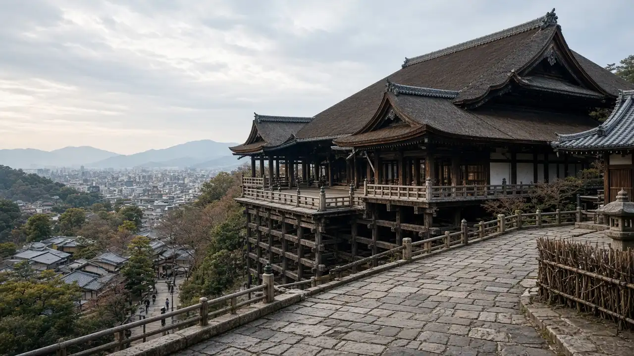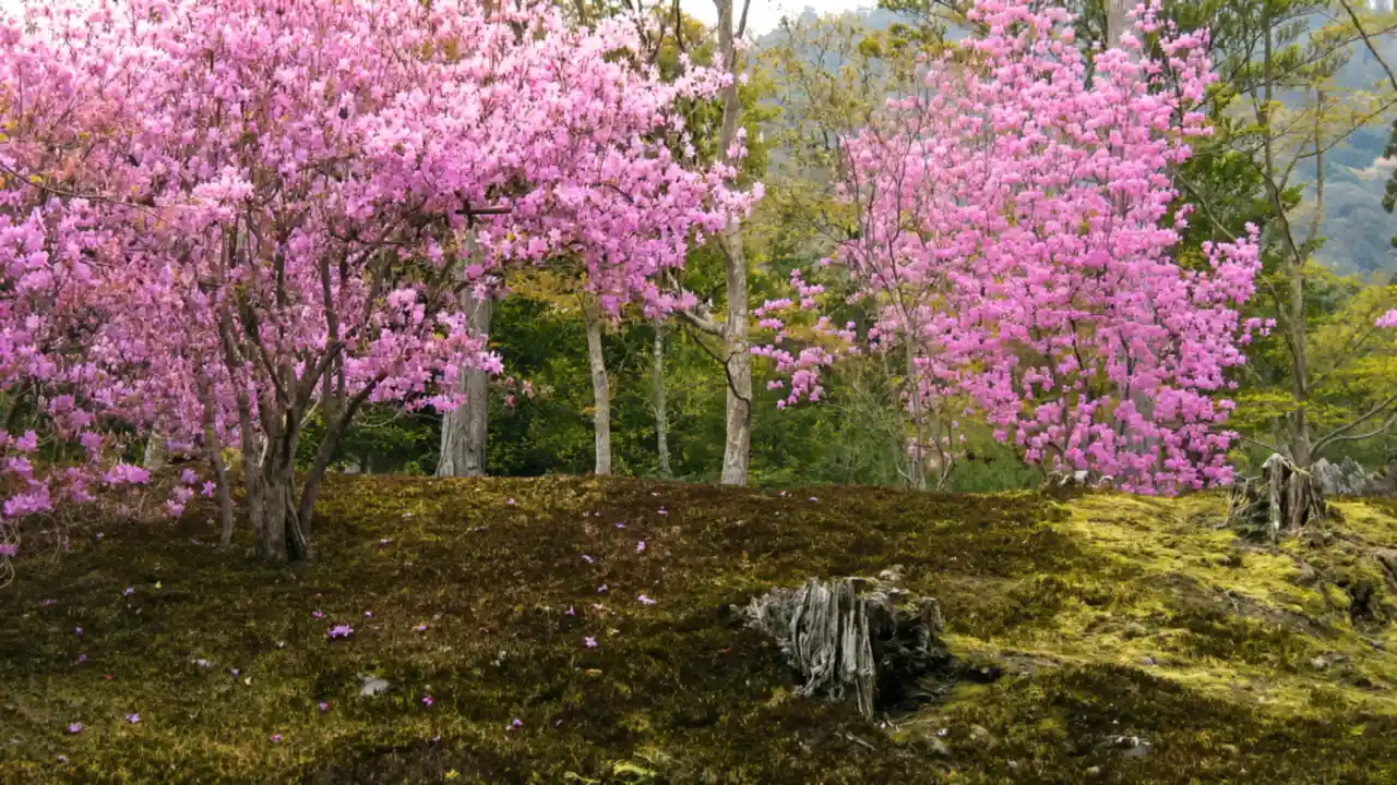
The character of the walk
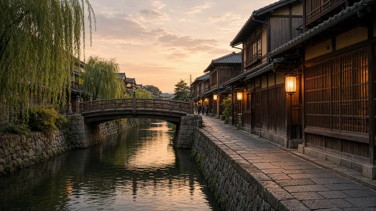
The scale changes from an open park to the Shirakawa canal and wooden urban facades. The route follows public streets: private Gion lanes are not treated as through routes even if a map shows a line. Photography depends on signs and street-specific rules, and entrances and passageways need to remain clear
Landmarks along the way
Maruyama Park: a city park behind Yasaka Shrine; Yasaka Shrine: a Shinto shrine on the eastern edge of Gion; Tatsumi Bridge: a small bridge over the Shirakawa canal in Gion
Minami-za: a historic kabuki theatre beside Shijo Bridge; Kennin-ji: a Zen Buddhist temple complex beside Gion
Map and stops
The numbered markers match the stops below. A marker does not guarantee an open entrance
Access · 1, 3: Outdoor stop; check access to the path on site
Access · 2, 4, 5: Approach or exterior view; admission to the interior is not confirmed
Maruyama Park
A city park behind Yasaka Shrine
Use the park for a pause between temple climbs
Show on the city map ↗Yasaka Shrine
A Shinto shrine on the eastern edge of Gion
Compare the shrine’s city-facing gate with the park side of the ensemble
Show on the city map ↗Tatsumi Bridge
A small bridge over the Shirakawa canal in Gion
View the canal from public areas and respect photography signs
Show on the city map ↗Minami-za
A historic kabuki theatre beside Shijo Bridge
Compare the theatre façade with the Shijō river vista
Show on the city map ↗Kennin-ji
A Zen Buddhist temple complex beside Gion
Distinguish open-ground passage from entry to paid halls
Show on the city map ↗
Before the walk
- Paving, short slopes and busy crossings
- Allow separate time for interiors and follow signs at each entrance
- The line is calculated on the mapped pedestrian network; closures and private passages may change access
- The scale changes from an open park to the Shirakawa canal and wooden urban facades. The route follows public streets: private Gion lanes are not treated as through routes even if a map shows a line. Photography depends on signs and street-specific rules, and entrances and passageways need to remain clear
Check hours, tickets and access with each venue. Barriers may change the track and queues may add time. Accessibility has not been surveyed on site
Questions before the walk
Where does the walk start and end?
Maruyama Park → Kennin-ji
Does walking time include admission and visits?
No. Walking is estimated separately; tickets, exhibitions and opening times need individual checks
Sources and verification
Written by walkymap from remotely checked sources. No on-site walk is claimed
Kyoto City Tourism Association — Gion and Kiyomizu ·
Wikipedia contributors — Maruyama Park ·
Wikipedia contributors — Yasaka Shrine ·
OpenStreetMap contributors — Tatsumi Bridge ·
OpenStreetMap contributors — Minami-za ·
Wikipedia contributors — Kennin-ji ·
Kyoto City Tourism Association — Four guidelines to follow when visiting Kyoto ·
© OpenStreetMap contributors · ODbL. Track geometry and distance are from the route dataset
Elevation estimate: Mapterhorn. Terrain model; stairs and small changes in level may be missed