The character of the walk
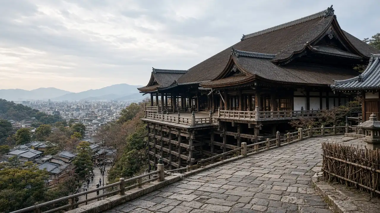
Terrain shapes this walk as temple approaches and old streets meet through steps and slopes. Yasaka Pagoda is a landmark among low wooden facades. Kiyomizu-dera’s stage stands within temple grounds with separate visiting arrangements; a street track does not imply free entry to every area
Landmarks along the way
Kiyomizu-dera: a Buddhist temple with a wooden stage above the hillside; Sannenzaka: a historic stepped street with wooden facades; Ninenzaka: a sloping paved street in the temple district
Hōkan-ji: a five-storey pagoda among low historic buildings; Kōdai-ji: a temple complex on the Higashiyama hillside
Map and stops
The numbered markers match the stops below. A marker does not guarantee an open entrance
Access · 1, 4, 5: Approach or exterior view; admission to the interior is not confirmed
Access · 2, 3: Outdoor stop; check access to the path on site
Kiyomizu-dera
A Buddhist temple with a wooden stage above the hillside
Account separately for the climb, temple admission and viewing terrace
Show on the city map ↗Sannenzaka
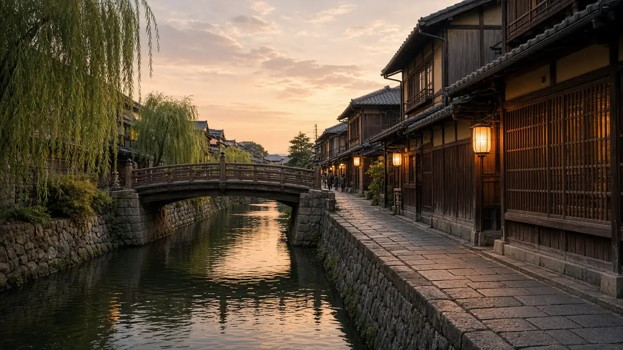
A historic stepped street with wooden facades
Descend the steps without stopping in the middle of the narrow passage
Show on the city map ↗Ninenzaka
A sloping paved street in the temple district
View the timber façades while keeping shop access clear
Show on the city map ↗Hōkan-ji
A five-storey pagoda among low historic buildings
View the pagoda from a public street without entering private lanes
Show on the city map ↗Kōdai-ji
A temple complex on the Higashiyama hillside
Visit gardens and temple buildings under the compound’s access rules
Show on the city map ↗
Before the walk
- Noticeable slopes, stone steps and narrow streets
- Allow separate time for interiors and follow signs at each entrance
- The line is calculated on the mapped pedestrian network; closures and private passages may change access
- Terrain shapes this walk as temple approaches and old streets meet through steps and slopes. Yasaka Pagoda is a landmark among low wooden facades. Kiyomizu-dera’s stage stands within temple grounds with separate visiting arrangements; a street track does not imply free entry to every area
Check hours, tickets and access with each venue. Barriers may change the track and queues may add time. Accessibility has not been surveyed on site
Questions before the walk
Where does the walk start and end?
Kiyomizu-dera → Kōdai-ji
Does walking time include admission and visits?
No. Walking is estimated separately; tickets, exhibitions and opening times need individual checks
Sources and verification
Written by walkymap from remotely checked sources. No on-site walk is claimed
Kyoto City Tourism Association — Gion and Kiyomizu ·
Wikipedia contributors — Kiyomizu-dera ·
OpenStreetMap contributors — Sannenzaka ·
OpenStreetMap contributors — Ninenzaka ·
OpenStreetMap contributors — Hōkan-ji ·
Wikipedia contributors — Kōdai-ji ·
Kyoto City Tourism Association — Four guidelines to follow when visiting Kyoto ·
© OpenStreetMap contributors · ODbL. Track geometry and distance are from the route dataset
Elevation estimate: Mapterhorn. Terrain model; stairs and small changes in level may be missed