First reach the monastery
The track does not connect central Mtskheta with Jvari on foot across a highway or steep slope. It starts on the hill. Arrange transport, the stopping point and the return separately. The short track distance measures the link between the churches, not the full journey from town
The great and minor churches
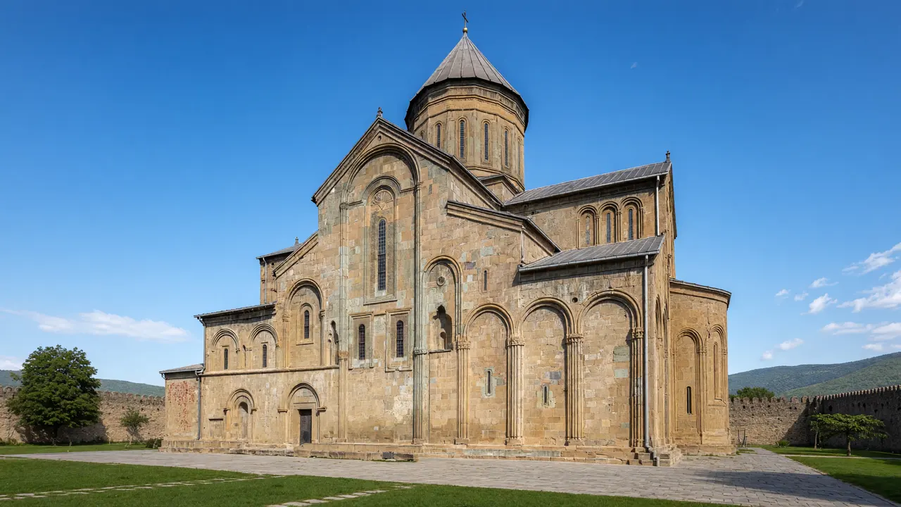
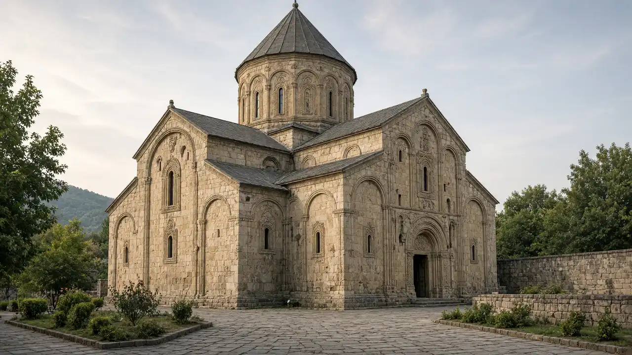
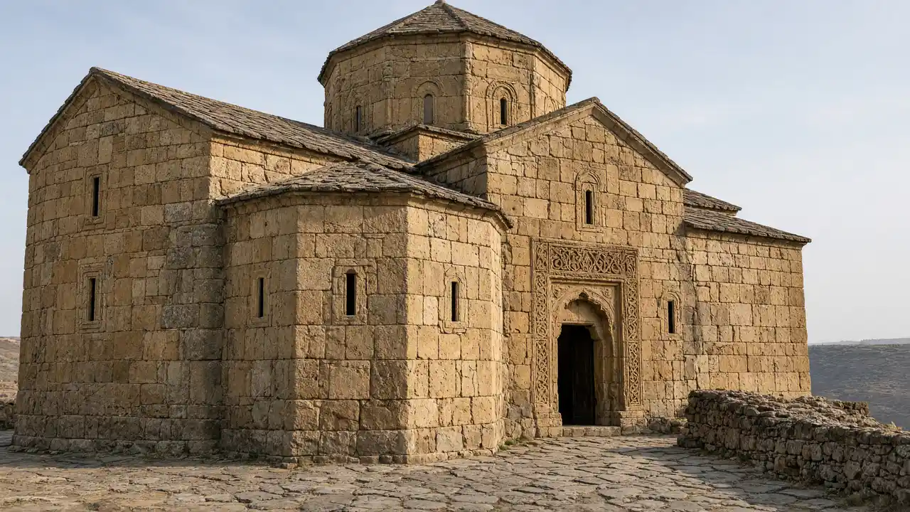
The great church has a compact cross-shaped volume and dome. The minor church nearby is easy to miss if the visit becomes only a panorama stop. Focus on architecture and open paths; entering closed parts of the ruins is unnecessary
Stops in route order
Great Church of Jvari — Early medieval church on a high hill above the meeting of the Aragvi and Mtkvari. Reach the monastery separately; the walking track starts on the hill
Minor Church of Jvari — Small early church beside the northern side of the main cathedral. View accessible parts from the path; stay out of closed ruins
Access and planning
The hill is exposed and can be windy. Do not approach the cliff edge or bypass barriers for a view
After returning to Mtskheta, choose Svetitskhoveli or Samtavro; neither is combined with Jvari into a continuous walking track
Map and stops
The numbered markers match the stops below. A marker does not guarantee an open entrance
Access: Approach or exterior view; admission to the interior is not confirmed
Great Church of Jvari
Early medieval church on a high hill above the meeting of the Aragvi and Mtkvari
Reach the monastery separately; the walking track starts on the hill
Show on the city map ↗Minor Church of Jvari
Small early church beside the northern side of the main cathedral
View accessible parts from the path; stay out of closed ruins
Show on the city map ↗
Before the walk
- Short circuit on the monastery hill; reach Jvari separately
- Walking time excludes visits, transport, queues and long breaks
- Calculated using the OSM pedestrian network; not verified by an on-site walk
- Use only open paths and public approaches; check indoor admission separately
Check hours, tickets and access with each venue. Barriers may change the track and queues may add time. Accessibility has not been surveyed on site
Questions before the walk
How long is this walking route?
The mapped track is 0.1 km, with about 5 minutes of walking at an assumed 4.2 km/h. Reaching the start, visits and breaks are separate
What access arrangements need checking?
The hill is exposed and can be windy. Do not approach the cliff edge or bypass barriers for a view
How can this visit be shortened or continued?
After returning to Mtskheta, choose Svetitskhoveli or Samtavro; neither is combined with Jvari into a continuous walking track
Sources and verification
Written by walkymap from remotely checked sources. No on-site walk is claimed
georgia.travel — georgia.travel ·
georgia.travel — georgia.travel ·
whc.unesco.org — whc.unesco.org ·
www.openstreetmap.org — www.openstreetmap.org ·
www.openstreetmap.org — www.openstreetmap.org ·
© OpenStreetMap contributors · ODbL. Track geometry and distance are from the route dataset
Elevation estimate: Mapterhorn. Terrain model; stairs and small changes in level may be missed