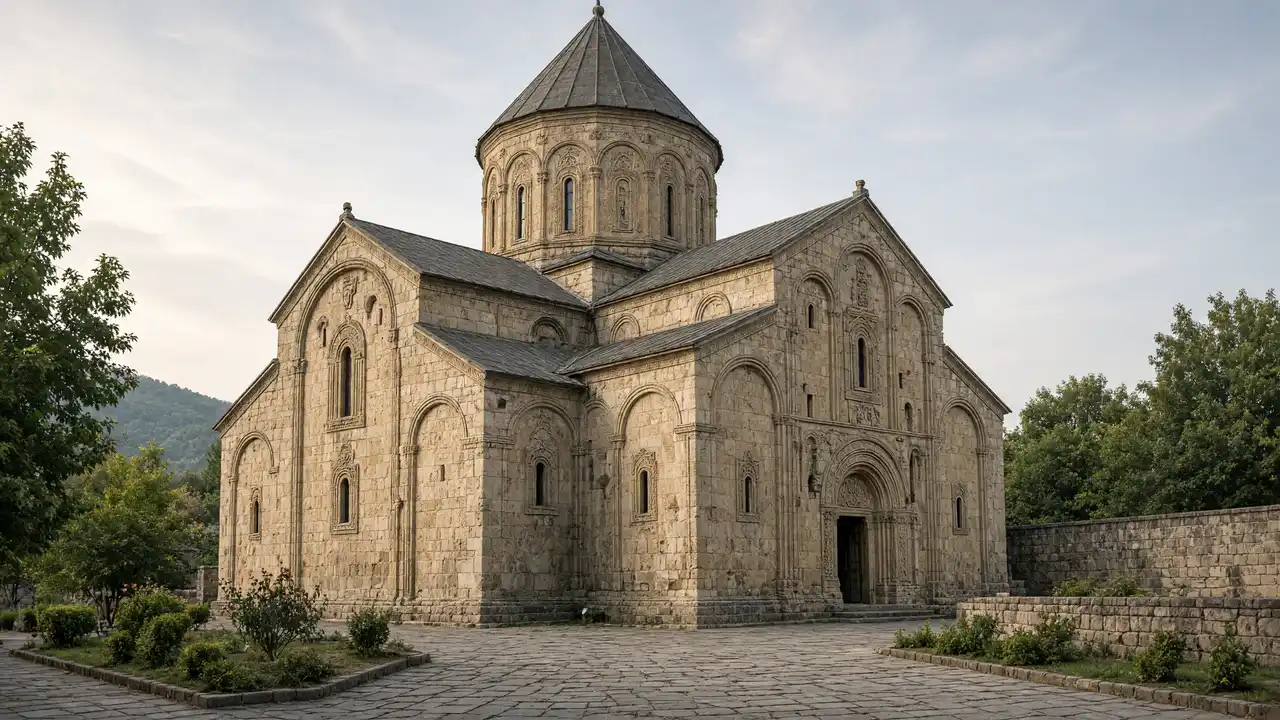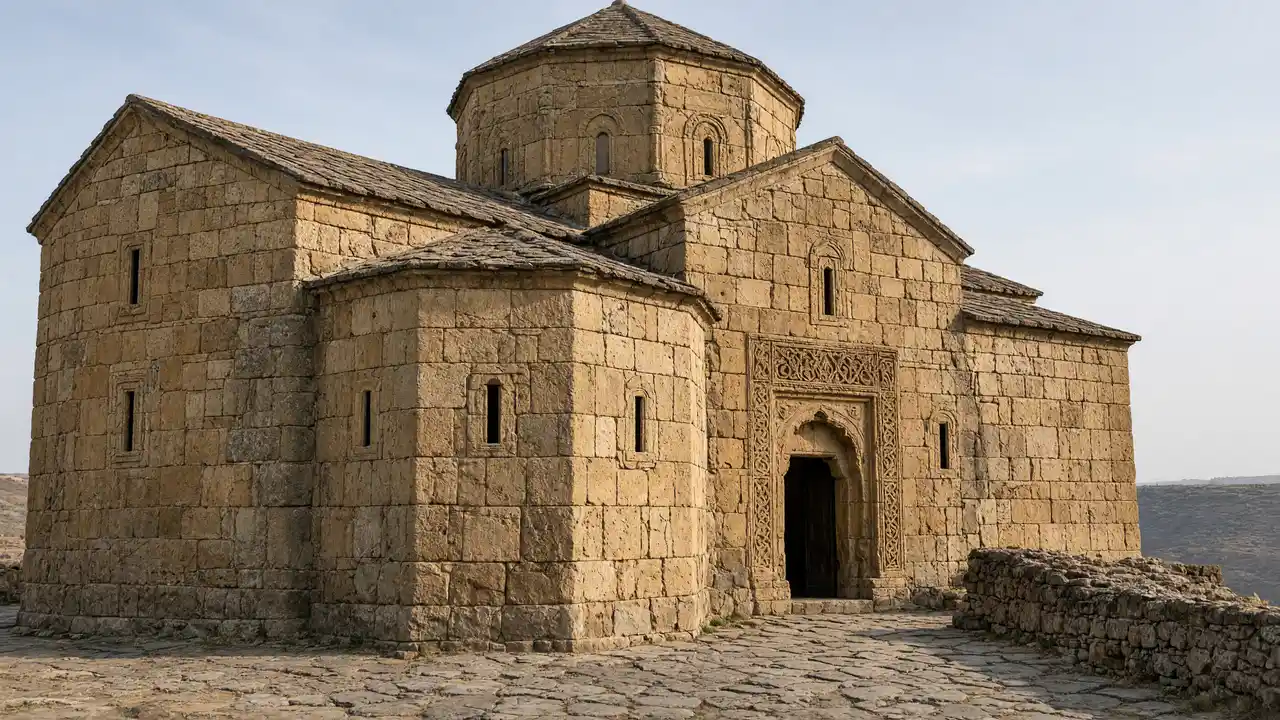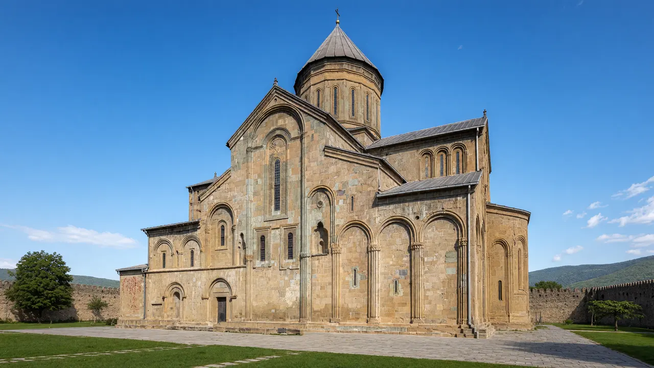
The cathedral and the surrounding town
Svetitskhoveli stands within an enclosure, while the streets around it remain part of a living town. Start outside with the dome’s volume, carved stone and different façades. Interior access depends on services and church rules, so it is not required to complete the route
The garden and the eastern edge
Mamulashvili Garden is private, not a public through-route. The track reaches its approach, where visiting arrangements can be checked. The town grows quieter at Antiochia; its monastic courtyard deserves the same respect as the large cathedral. Nearby rivers do not imply a continuous waterside path
Stops in route order
Svetitskhoveli Cathedral — Cathedral with carved stone façades and an enclosing wall at the heart of the former capital. Look for exterior reliefs; interior admission and photography follow church rules
Mamulashvili house and garden — Private historic garden and gardener Mikheil Mamulashvili’s house near Svetitskhoveli. Marker shows the approach; arrange garden access with the owners
Antiochia Church — Small St Stephen church at the eastern edge of the old town. The courtyard is monastic property; follow posted access rules
Access and planning
Arrange garden access on site. At churches, observe services and rules for clothing and photography
Continue to Samtavro and Bebristsikhe. Open Jvari as a separate walk after reaching the hill independently
Map and stops
The numbered markers match the stops below. A marker does not guarantee an open entrance
Access: Approach or exterior view; admission to the interior is not confirmed
Svetitskhoveli Cathedral
Cathedral with carved stone façades and an enclosing wall at the heart of the former capital
Look for exterior reliefs; interior admission and photography follow church rules
Show on the city map ↗Mamulashvili house and garden
Private historic garden and gardener Mikheil Mamulashvili’s house near Svetitskhoveli
Marker shows the approach; arrange garden access with the owners
Show on the city map ↗Antiochia Church
Small St Stephen church at the eastern edge of the old town
The courtyard is monastic property; follow posted access rules
Show on the city map ↗
Before the walk
- Paving stones, narrow streets and monastery approaches
- Walking time excludes visits, transport, queues and long breaks
- Calculated using the OSM pedestrian network; not verified by an on-site walk
- Use only open paths and public approaches; check indoor admission separately
Check hours, tickets and access with each venue. Barriers may change the track and queues may add time. Accessibility has not been surveyed on site
Questions before the walk
How long is this walking route?
The mapped track is 0.7 km, with about 10 minutes of walking at an assumed 4.2 km/h. Reaching the start, visits and breaks are separate
What access arrangements need checking?
Arrange garden access on site. At churches, observe services and rules for clothing and photography
How can this visit be shortened or continued?
Continue to Samtavro and Bebristsikhe. Open Jvari as a separate walk after reaching the hill independently
Sources and verification
Written by walkymap from remotely checked sources. No on-site walk is claimed
georgia.travel — georgia.travel ·
georgia.travel — georgia.travel ·
whc.unesco.org — whc.unesco.org ·
www.openstreetmap.org — www.openstreetmap.org ·
www.openstreetmap.org — www.openstreetmap.org ·
www.openstreetmap.org — www.openstreetmap.org ·
© OpenStreetMap contributors · ODbL. Track geometry and distance are from the route dataset
Elevation estimate: Mapterhorn. Terrain model; stairs and small changes in level may be missed