Take time at Samtavro
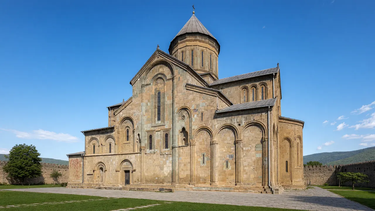
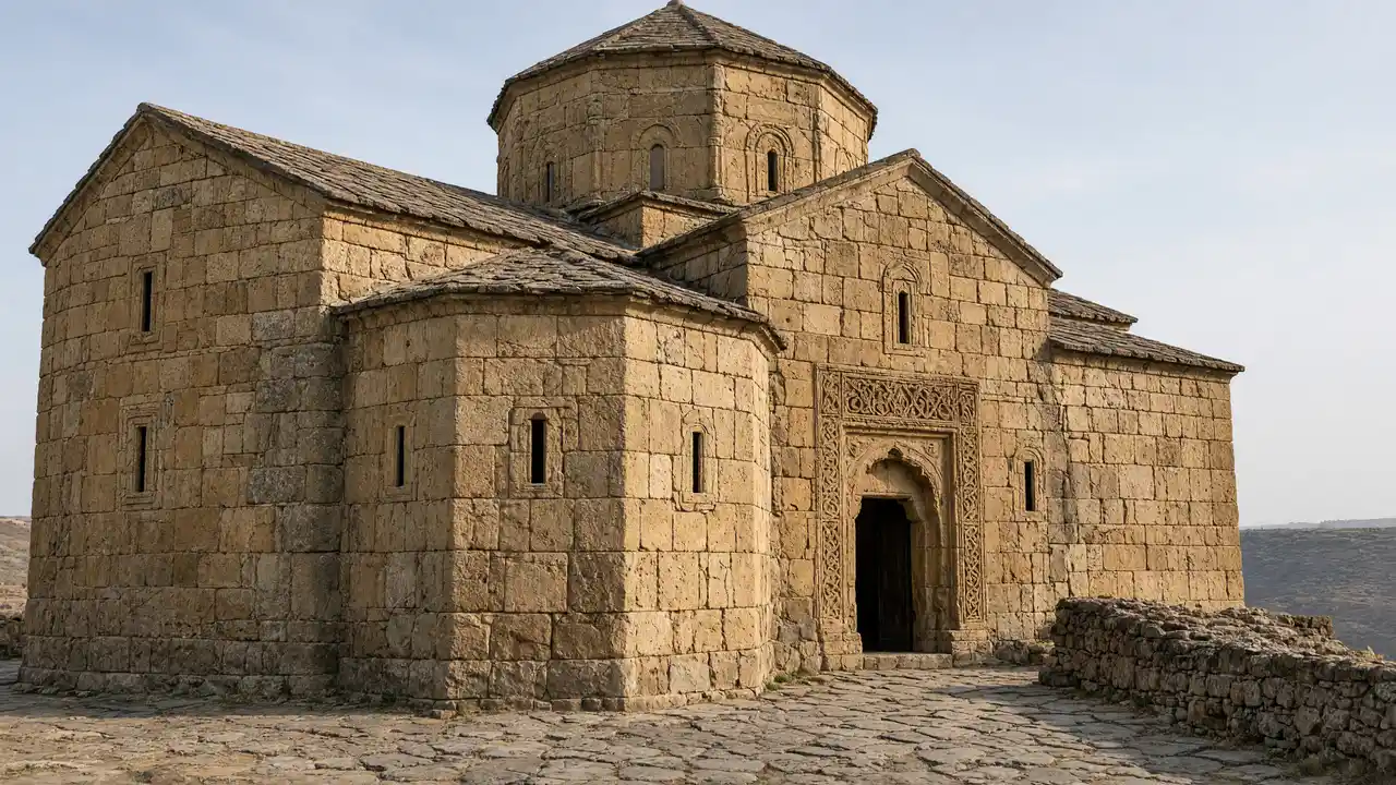
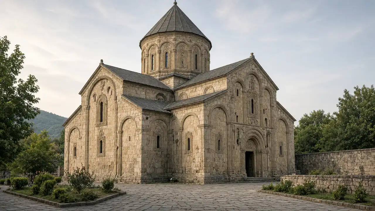
The large Transfiguration Church and small St Nino Church stand close together at very different scales. This is an active monastery; use open approaches without expecting entry to every space. Continue towards the necropolis, where the archaeological ground is not intended for wandering among excavations
The fortress and the return to the park
Bebristsikhe occupies a separate hill above northern Mtskheta. The final ascent takes most effort before continuing to Teatroni Park. The panorama does not require climbing ruined walls. If the surface is wet, view the fortress from below and keep the urban part of the walk
Stops in route order
Samtavro Transfiguration Church — Large domed church of Samtavro Monastery north of the old centre. Keep services and worshippers’ access unobstructed
St Nino Church at Samtavro — Small church beside the monastery’s larger Transfiguration church. Compare the two churches’ scale while keeping quiet
Samtavro Necropolis — Archaeological area of an ancient burial ground on the way to Bebristsikhe. View from the accessible edge; do not cross excavation barriers
Bebristsikhe Fortress — Fortress ruins on a separate hill above the Aragvi at the town’s northern edge. The ascent is rocky; stay off unstable ruined walls
Teatroni Park — Riverside city park on the Aragvi between the old centre and northern neighbourhoods. Use surfaced paths after rain
Access and planning
Respect barriers at the necropolis and fortress. The route includes an uneven climb and is not presented as step-free
Shorten the walk after Samtavro, or walk the northern part in reverse from Bebristsikhe
Map and stops
The numbered markers match the stops below. A marker does not guarantee an open entrance
Access: Approach or exterior view; admission to the interior is not confirmed
Samtavro Transfiguration Church
Large domed church of Samtavro Monastery north of the old centre
Keep services and worshippers’ access unobstructed
Show on the city map ↗St Nino Church at Samtavro
Small church beside the monastery’s larger Transfiguration church
Compare the two churches’ scale while keeping quiet
Show on the city map ↗Samtavro Necropolis
Archaeological area of an ancient burial ground on the way to Bebristsikhe
View from the accessible edge; do not cross excavation barriers
Show on the city map ↗Bebristsikhe Fortress
Fortress ruins on a separate hill above the Aragvi at the town’s northern edge
The ascent is rocky; stay off unstable ruined walls
Show on the city map ↗Teatroni Park
Riverside city park on the Aragvi between the old centre and northern neighbourhoods
Use surfaced paths after rain
Show on the city map ↗
Before the walk
- Town streets and a steep fortress ascent
- Walking time excludes visits, transport, queues and long breaks
- Calculated using the OSM pedestrian network; not verified by an on-site walk
- Use only open paths and public approaches; check indoor admission separately
Check hours, tickets and access with each venue. Barriers may change the track and queues may add time. Accessibility has not been surveyed on site
Questions before the walk
How long is this walking route?
The mapped track is 3.0 km, with about 45 minutes of walking at an assumed 4.2 km/h. Reaching the start, visits and breaks are separate
What access arrangements need checking?
Respect barriers at the necropolis and fortress. The route includes an uneven climb and is not presented as step-free
How can this visit be shortened or continued?
Shorten the walk after Samtavro, or walk the northern part in reverse from Bebristsikhe
Sources and verification
Written by walkymap from remotely checked sources. No on-site walk is claimed
georgia.travel — georgia.travel ·
georgia.travel — georgia.travel ·
whc.unesco.org — whc.unesco.org ·
www.openstreetmap.org — www.openstreetmap.org ·
www.openstreetmap.org — www.openstreetmap.org ·
www.openstreetmap.org — www.openstreetmap.org ·
www.openstreetmap.org — www.openstreetmap.org ·
www.openstreetmap.org — www.openstreetmap.org ·
© OpenStreetMap contributors · ODbL. Track geometry and distance are from the route dataset
Elevation estimate: Mapterhorn. Terrain model; stairs and small changes in level may be missed