Start beside the Hudson
At the Whitney, view Renzo Piano’s building before continuing to Little Island and Pier 57. Check museum admission, island events and pier rooftop access separately
Return to Chelsea
Use marked crossings to reach Chelsea Market, housed in a former factory complex. Continue to the southern High Line, a park created on a railway viaduct
Continue through Hudson Yards to Moynihan
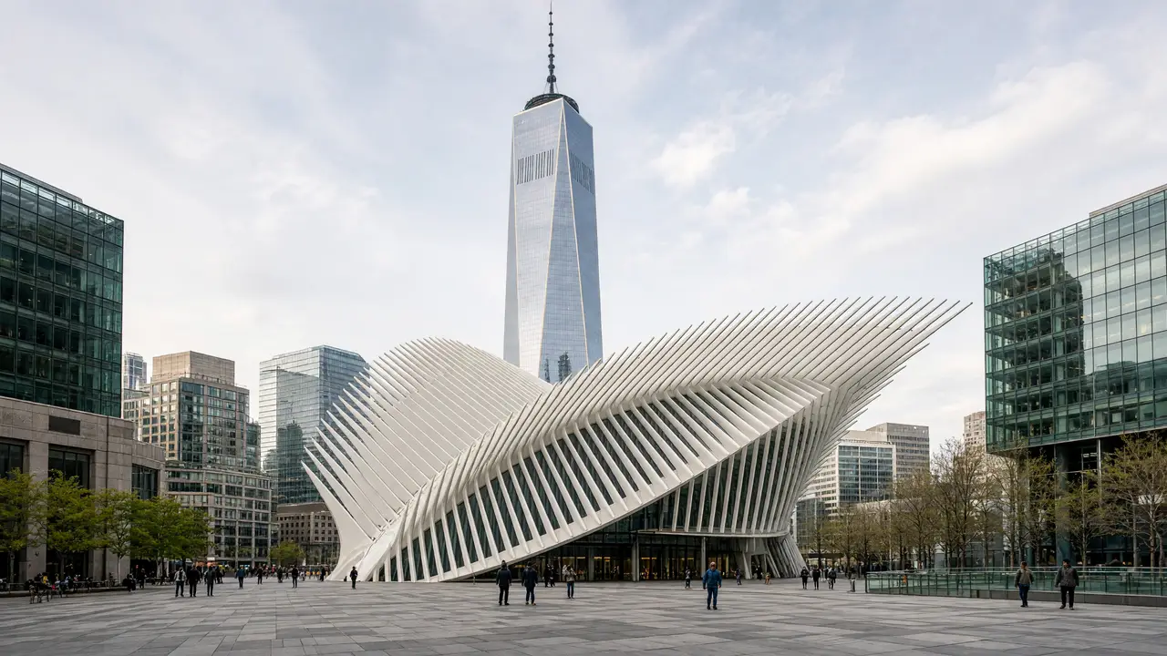
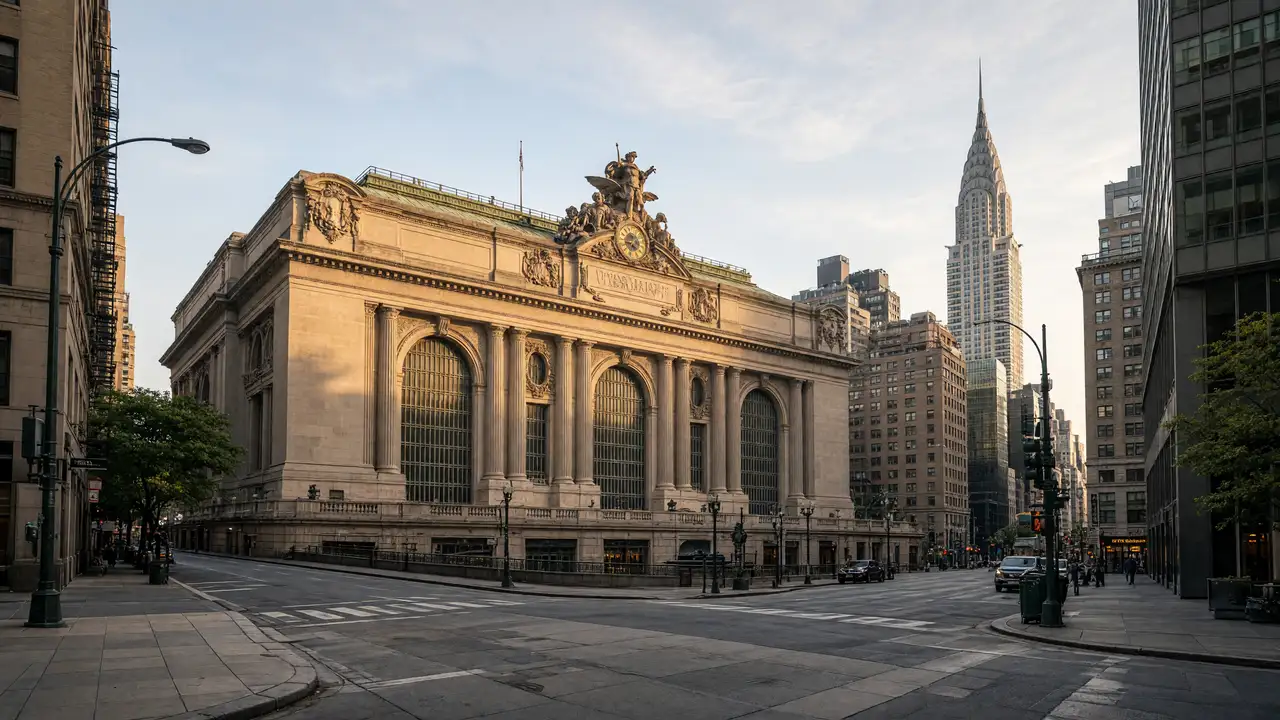
Near the northern section, look at The Shed’s movable shell and Vessel’s staircase structure. Finish at Moynihan Train Hall inside the former post office
Map and stops
The numbered markers match the stops below. A marker does not guarantee an open entrance
Access: Approach or exterior view; admission to the interior is not confirmed
Whitney Museum of American Art
American art museum in Renzo Piano's building beside the Hudson
Plan indoor visits separately; check the venue website for programmes and tickets
Show on the city map ↗Little Island
Park on concrete supports above the Hudson with winding paths
Follow open paths and stay outside fenced areas
Show on the city map ↗Pier 57
Converted historic pier with a public rooftop park
Stop for the view without blocking pedestrians
Show on the city map ↗Chelsea Market
Indoor market in a former biscuit factory complex
Plan indoor visits separately; check the venue website for programmes and tickets
Show on the city map ↗High Line
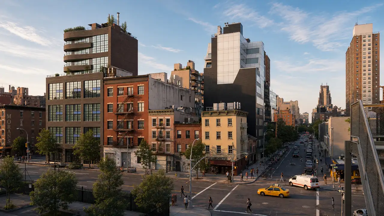
Elevated park on a former West Side railway viaduct
Follow open paths and stay outside fenced areas
Show on the city map ↗The Shed
Arts centre with a movable outer shell on wheels
Plan indoor visits separately; check the venue website for programmes and tickets
Show on the city map ↗Vessel
Copper-coloured stair structure on the Hudson Yards plaza
View the architecture from public streets; check interior access separately
Show on the city map ↗Moynihan Train Hall
Glass roof over a passenger hall in the former Farley Post Office
View the architecture from public streets; check interior access separately
Show on the city map ↗
Before the walk
- Check High Line opening hours and available entrances before setting out
- Use street-level detours around closed sections; do not cross barriers
Check hours, tickets and access with each venue. Barriers may change the track and queues may add time. Accessibility has not been surveyed on site
Questions before the walk
Does the route include climbing Vessel?
No, the stop is at ground level; check tickets and access separately
Can every museum be visited along the way?
A Whitney visit and The Shed programme add substantial time; choose one main indoor stop
Sources and verification
Written by walkymap from remotely checked sources. No on-site walk is claimed
Friends of the High Line — Friends of the High Line ·
Whitney Museum of American Art — Whitney Museum: the building ·
© OpenStreetMap contributors · ODbL. Track geometry and distance are from the route dataset
Elevation estimate: Mapterhorn. Terrain model; stairs and small changes in level may be missed