Start with one museum
Begin at the Tenement Museum and continue to the Museum at Eldridge Street
Book an apartment tour at the Tenement Museum separately; the street route does not include entry
Eldridge Street occupies a restored synagogue in present-day Chinatown, making the change between neighbourhoods visible
Continue through Chinatown
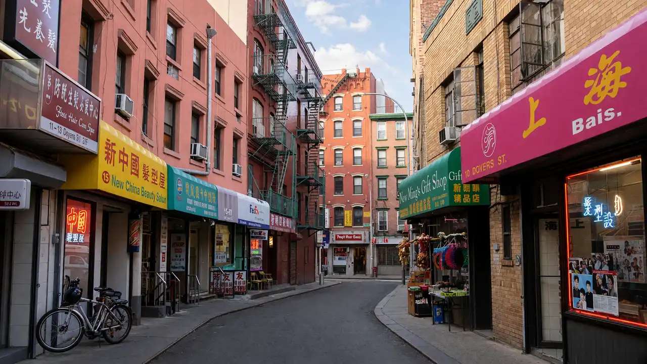
Follow the mapped stops past Mahayana Temple to the bend of Doyers Street and finish in Columbus Park
Keep temple visits quiet and follow any photography rules
For an outdoor-only walk, keep both museums as exterior stops and spend the saved time around Doyers Street
Map and stops
The numbered markers match the stops below. A marker does not guarantee an open entrance
Access: Approach or exterior view; admission to the interior is not confirmed
Tenement Museum
Immigrant history in preserved Orchard Street tenement buildings
Plan indoor visits separately; check the venue website for programmes and tickets
Show on the city map ↗Museum at Eldridge Street
Museum in a synagogue with a carved interior and circular stained glass
Plan indoor visits separately; check the venue website for programmes and tickets
Show on the city map ↗Mahayana Buddhist Temple
Buddhist temple beside Manhattan Bridge with a large Buddha statue
View the architecture from public streets; check interior access separately
Show on the city map ↗Doyers Street
Narrow curved street among Chinatown's historic blocks
View the architecture from public streets; check interior access separately
Show on the city map ↗Columbus Park
Chinatown park on the site of the historic Five Points neighbourhood
Follow open paths and stay outside fenced areas
Show on the city map ↗
Before the walk
- Check museum opening notices before setting off
- Keep shop entrances and narrow pavements clear
Check hours, tickets and access with each venue. Barriers may change the track and queues may add time. Accessibility has not been surveyed on site
Questions before the walk
Does this route include a Tenement Museum apartment?
No, apartment visits require a separate guided tour; the map links the street stops
Which stop explains the neighbourhood’s synagogue history?
The Museum at Eldridge Street occupies a restored historic synagogue; check its separate visiting arrangements
Sources and verification
Written by walkymap from remotely checked sources. No on-site walk is claimed
Tenement Museum — Tenement Museum ·
Museum at Eldridge Street — Museum at Eldridge Street: visiting ·
© OpenStreetMap contributors · ODbL. Track geometry and distance are from the route dataset
Elevation estimate: Mapterhorn. Terrain model; stairs and small changes in level may be missed