Start at the industrial gantries
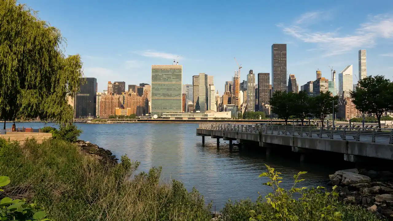
At Gantry Plaza State Park, look at the preserved transfer structures and reach the waterfront. Continue to MoMA PS1, housed in a former school
Continue to sculpture
City streets lead to the Noguchi Museum and Socrates Sculpture Park. Residential and industrial blocks separate the venues; this is not a continuous waterfront path
Finish with film
After the park, continue to the Museum of the Moving Image, focused on film and television. Choose this museum or one art venue for an indoor visit
Map and stops
The numbered markers match the stops below. A marker does not guarantee an open entrance
Access: Approach or exterior view; admission to the interior is not confirmed
Gantry Plaza State Park
Industrial transfer gantries and walking piers facing Manhattan
Follow open paths and stay outside fenced areas
Show on the city map ↗MoMA PS1
Contemporary art in a former Long Island City school building
Plan indoor visits separately; check the venue website for programmes and tickets
Show on the city map ↗Noguchi Museum
Isamu Noguchi's stone sculptures in galleries and a garden
Plan indoor visits separately; check the venue website for programmes and tickets
Show on the city map ↗Socrates Sculpture Park
Open-air sculpture exhibition space on the East River
Follow open paths and stay outside fenced areas
Show on the city map ↗Museum of the Moving Image
Film, television and screen production beside Astoria's film studios
Plan indoor visits separately; check the venue website for programmes and tickets
Show on the city map ↗
Before the walk
- Allow time for the walks between neighbourhoods
- Check museum and park programmes before setting out
Check hours, tickets and access with each venue. Barriers may change the track and queues may add time. Accessibility has not been surveyed on site
Questions before the walk
Does the whole route follow the water?
No, waterfront stops are connected by Long Island City and Astoria streets
Is a ferry trip required?
No, the route is calculated for walking; plan any ferry arrival separately
Sources and verification
Written by walkymap from remotely checked sources. No on-site walk is claimed
NYC Tourism + Conventions — NYC Tourism + Conventions ·
© OpenStreetMap contributors · ODbL. Track geometry and distance are from the route dataset
Elevation estimate: Mapterhorn. Terrain model; stairs and small changes in level may be missed