Climb to the viewpoint
Start on Linzergasse and follow the ascent towards the Capuchin monastery and Hettwerbastei
Take the first steep section steadily
For a short viewpoint outing, turn back after Hettwerbastei rather than continuing deeper into the woods
Continue through the woods
The full route continues to Franziskischlössl before returning towards St Sebastian’s Cemetery
Follow signed walking paths and allow time for the descent
The castle’s refreshment service is optional and should not be the only water plan
Map and stops
The numbered markers match the stops below. A marker does not guarantee an open entrance
Access: Approach or exterior view; admission to the interior is not confirmed
Linzergasse
Old trading street beneath the Kapuzinerberg slope
Follow the public route; courtyards and residential entrances are not through paths
Show on the city map ↗Capuchin Monastery
Monastery on Kapuzinerberg above the right bank
Check the open entrance and service times; remain quiet inside
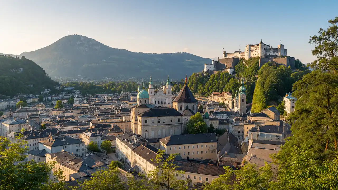
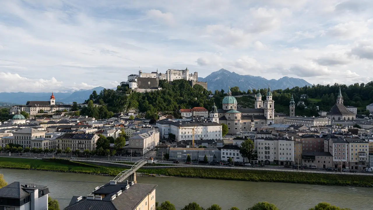
Show on the city map ↗Hettwer Bastion
Terrace above the river with an old-town panorama
Stop clear of the main passage and stay behind barriers
Show on the city map ↗Franziskischlössl
Small fort on wooded Kapuzinerberg
View from the permitted approach; interiors may require a ticket
Show on the city map ↗St Sebastian's Cemetery
Historic cemetery with arcades and a central chapel
View from the permitted approach; interiors may require a ticket
Show on the city map ↗
Before the walk
- Wear shoes with grip on wet leaves and stone
- This is a hill walk, not a confirmed step-free city route
Check hours, tickets and access with each venue. Barriers may change the track and queues may add time. Accessibility has not been surveyed on site
Questions before the walk
Is the City Wall climbing route required?
No, the walk uses pedestrian paths; the separate climbing route is outside this itinerary
Where can the uphill walk be shortened?
Turn back after Hettwerbastei rather than continuing through the woodland to Franziskischlössl
Sources and verification
Written by walkymap from remotely checked sources. No on-site walk is claimed
Tourismus Salzburg — Kapuzinerberg ·
Tourismus Salzburg — Kapuzinerberg city hike ·
© OpenStreetMap contributors · ODbL. Track geometry and distance are from the route dataset
Elevation estimate: Mapterhorn. Terrain model; stairs and small changes in level may be missed